32 Dockery Trail Murrayville, GA 30564
Murrayville NeighborhoodEstimated Value: $683,467 - $992,000
--
Bed
1
Bath
4,279
Sq Ft
$193/Sq Ft
Est. Value
About This Home
This home is located at 32 Dockery Trail, Murrayville, GA 30564 and is currently estimated at $827,367, approximately $193 per square foot. 32 Dockery Trail is a home with nearby schools including Clay County Middle School and Lumpkin County High School.
Ownership History
Date
Name
Owned For
Owner Type
Purchase Details
Closed on
Sep 19, 2003
Sold by
Davis Jane L
Bought by
Oakley Paula Ann
Current Estimated Value
Create a Home Valuation Report for This Property
The Home Valuation Report is an in-depth analysis detailing your home's value as well as a comparison with similar homes in the area
Home Values in the Area
Average Home Value in this Area
Purchase History
| Date | Buyer | Sale Price | Title Company |
|---|---|---|---|
| Oakley Paula Ann | -- | -- |
Source: Public Records
Tax History Compared to Growth
Tax History
| Year | Tax Paid | Tax Assessment Tax Assessment Total Assessment is a certain percentage of the fair market value that is determined by local assessors to be the total taxable value of land and additions on the property. | Land | Improvement |
|---|---|---|---|---|
| 2024 | $6,570 | $285,549 | $7,531 | $278,018 |
| 2023 | $5,836 | $267,685 | $7,038 | $260,647 |
| 2022 | $6,519 | $265,326 | $5,865 | $259,461 |
| 2021 | $5,520 | $217,630 | $5,865 | $211,765 |
| 2020 | $5,536 | $211,862 | $5,620 | $206,242 |
| 2019 | $5,587 | $211,862 | $5,620 | $206,242 |
| 2018 | $5,323 | $189,628 | $5,620 | $184,008 |
| 2017 | $5,091 | $177,998 | $5,620 | $172,378 |
| 2016 | $4,654 | $157,622 | $5,620 | $152,002 |
| 2015 | $1,127 | $157,622 | $5,620 | $152,002 |
| 2014 | $1,127 | $44,732 | $5,620 | $39,111 |
| 2013 | -- | $45,693 | $5,620 | $40,073 |
Source: Public Records
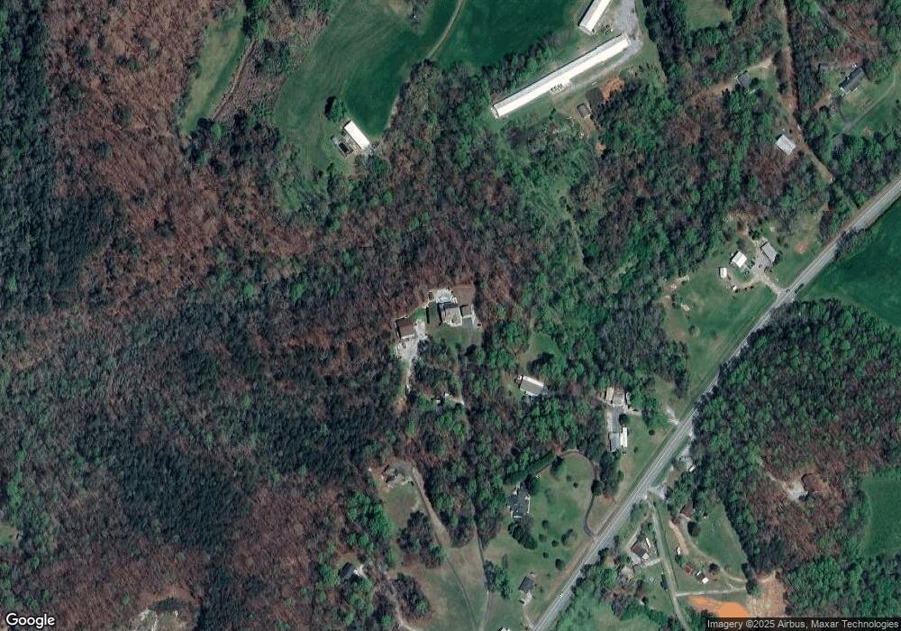
Map
Nearby Homes
- 6480 Highway 52 W
- 380 Copper Mill Rd
- 600 Chapman Ridge Ln
- 500 Chapman Ridge Ln
- 27.68 Chapman Ridge Ln
- 100 Rocky Branch Dr
- 128 Young Deer Dr
- 23.86 Acres Mincie Mountain
- 20.65 Acres Mincie Mountain
- 42.65 Acres Mincie Mountain
- 87 Tolleffs Trail
- 86.99 Acres Mincie Mountain
- 12 Katydid Ln
- 202 Indian Trail
- 3.65 Ac Emory Stephens Rd
- 121 Dockery Trail
- 405 Cleveland Hwy
- 327 Cleveland Hwy
- 29 Dockery Trail
- 601 Cleveland Hwy
- 450 Cleveland Hwy
- 404 Cleveland Hwy
- 450 Georgia 115
- 321 Grindle Brothers Rd
- 243 Cleveland Hwy
- 99 Grindle Brothers Rd
- 93 Grindle Brothers Rd
- 376 Grindle Brothers Rd
- 342 Grindle Brothers Rd
- 425 Grindle Brothers Rd
- 197 Grindle Brothers Rd
- 0 Sam Brown Rd
- 97 Grindle Brothers Rd
- 256 Cleveland Hwy
- 173 Cleveland Hwy