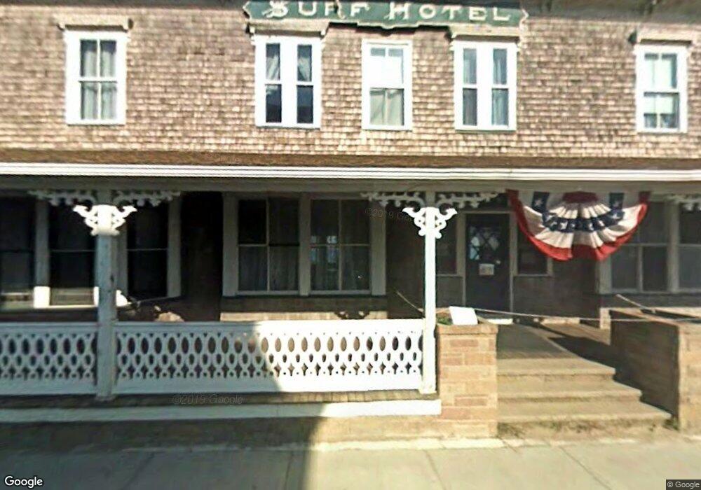
32 Dodge St Block Island, RI 02807
--
Bed
--
Bath
12,668
Sq Ft
0.37
Acres
About This Home
This home is located at 32 Dodge St, Block Island, RI 02807. 32 Dodge St is a home located in Washington County with nearby schools including Block Island School.
Ownership History
Date
Name
Owned For
Owner Type
Purchase Details
Closed on
Jan 30, 2019
Sold by
Ulbe Llc
Bought by
32 Dodge St Block Is Opco
Home Financials for this Owner
Home Financials are based on the most recent Mortgage that was taken out on this home.
Original Mortgage
$12,545
Outstanding Balance
$11,052
Interest Rate
4.6%
Mortgage Type
Future Advance Clause Open End Mortgage
Create a Home Valuation Report for This Property
The Home Valuation Report is an in-depth analysis detailing your home's value as well as a comparison with similar homes in the area
Home Values in the Area
Average Home Value in this Area
Purchase History
| Date | Buyer | Sale Price | Title Company |
|---|---|---|---|
| 32 Dodge St Block Is Opco | $5,330,000 | -- |
Source: Public Records
Mortgage History
| Date | Status | Borrower | Loan Amount |
|---|---|---|---|
| Open | 32 Dodge St Block Is Opco | $12,545 |
Source: Public Records
Tax History Compared to Growth
Tax History
| Year | Tax Paid | Tax Assessment Tax Assessment Total Assessment is a certain percentage of the fair market value that is determined by local assessors to be the total taxable value of land and additions on the property. | Land | Improvement |
|---|---|---|---|---|
| 2024 | $30,893 | $5,596,600 | $1,336,300 | $4,260,300 |
| 2023 | $33,692 | $5,596,600 | $1,336,300 | $4,260,300 |
| 2022 | $31,235 | $4,411,760 | $1,069,040 | $3,342,720 |
| 2021 | $28,932 | $4,318,160 | $1,069,040 | $3,249,120 |
| 2020 | $27,060 | $4,254,720 | $1,069,040 | $3,185,680 |
| 2019 | $20,543 | $3,334,960 | $1,069,040 | $2,265,920 |
| 2018 | $18,488 | $3,107,280 | $1,069,040 | $2,038,240 |
| 2017 | $18,209 | $3,107,280 | $1,069,040 | $2,038,240 |
| 2016 | $17,774 | $3,107,280 | $1,069,040 | $2,038,240 |
| 2015 | $21,427 | $3,888,700 | $1,336,300 | $2,552,400 |
| 2014 | $20,766 | $3,888,700 | $1,336,300 | $2,552,400 |
| 2013 | $20,546 | $3,943,500 | $1,336,300 | $2,607,200 |
Source: Public Records
Map
Nearby Homes
- 256 High St
- 481 Old Town Rd
- 1289 High St
- 194 Pilot Hill Rd
- 0 Southeast Rd Unit 1381406
- 0 Spring St
- 0 Pilot Hill Rd
- 1087 Lakeside Dr
- 1743 Corn Neck Rd
- 1661 Sand Pond Rd
- 1501 Beacon Hill Rd
- 804 Mohegan Trail
- 1720 Corn Neck Rd
- 1713 Corn Neck Rd
- 0 Mohegan Trail
- 0 Coast Guard Rd
- 1448 Mohegan Trail
- 1035 Mohegan Trail
- 0 Snake Hole Rd
- 1557 W Side Rd
- 62 Dodge St
- 439 Dodge St
- 437 Water St
- 597 Corn Neck Rd
- 137 Dodge St
- 460 Chapel St Unit 4
- 460 Chapel St Unit 3
- 460 Chapel St Unit 4
- 54 Dodge St
- 151 Corn Neck Rd
- 1186 Dodge St
- 462 Chapel St
- 103 Chapel St
- 463 Chapel St
- 126 Corn Neck Rd
- 0 Corn Neck Rd Unit 209606
- 0 Corn Neck Rd Unit 212944
- 0 Corn Neck Rd Unit 970135
- 0 Corn Neck Rd Unit 1040557
- 0 Corn Neck Road Off Rd Unit 1104969