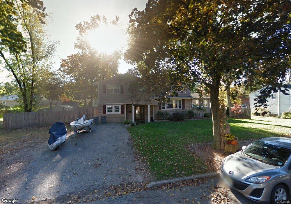
32 Dorian Rd Boonton, NJ 07005
Estimated Value: $702,000 - $841,000
--
Bed
--
Bath
2,069
Sq Ft
$370/Sq Ft
Est. Value
About This Home
This home is located at 32 Dorian Rd, Boonton, NJ 07005 and is currently estimated at $766,199, approximately $370 per square foot. 32 Dorian Rd is a home located in Morris County with nearby schools including School Street Elementary School, John Hill Elementary School, and Boonton High School.
Ownership History
Date
Name
Owned For
Owner Type
Purchase Details
Closed on
Sep 15, 2017
Sold by
Baker Glen
Bought by
Baker Glen and Baker Elizabeth A
Current Estimated Value
Home Financials for this Owner
Home Financials are based on the most recent Mortgage that was taken out on this home.
Original Mortgage
$356,382
Interest Rate
4.45%
Mortgage Type
New Conventional
Purchase Details
Closed on
Aug 25, 2017
Sold by
Baker Glen and Baker Aimee Delynn
Bought by
Baker Glen
Home Financials for this Owner
Home Financials are based on the most recent Mortgage that was taken out on this home.
Original Mortgage
$356,382
Interest Rate
4.45%
Mortgage Type
New Conventional
Purchase Details
Closed on
Jun 30, 2008
Sold by
Estate Of Denise M Cooke and Corbett Margaret W
Bought by
Baker Glen and Baker Aimee Delynn
Home Financials for this Owner
Home Financials are based on the most recent Mortgage that was taken out on this home.
Original Mortgage
$398,200
Interest Rate
6.13%
Mortgage Type
Purchase Money Mortgage
Create a Home Valuation Report for This Property
The Home Valuation Report is an in-depth analysis detailing your home's value as well as a comparison with similar homes in the area
Home Values in the Area
Average Home Value in this Area
Purchase History
| Date | Buyer | Sale Price | Title Company |
|---|---|---|---|
| Baker Glen | -- | Service Link | |
| Baker Glen | $174,186 | None Available | |
| Baker Glen | $442,500 | New Jersey Title Ins Co |
Source: Public Records
Mortgage History
| Date | Status | Borrower | Loan Amount |
|---|---|---|---|
| Previous Owner | Baker Glen | $356,382 | |
| Previous Owner | Baker Glen | $398,200 |
Source: Public Records
Tax History Compared to Growth
Tax History
| Year | Tax Paid | Tax Assessment Tax Assessment Total Assessment is a certain percentage of the fair market value that is determined by local assessors to be the total taxable value of land and additions on the property. | Land | Improvement |
|---|---|---|---|---|
| 2025 | $14,159 | $418,900 | $207,500 | $211,400 |
| 2024 | $13,786 | $418,900 | $207,500 | $211,400 |
| 2023 | $13,786 | $418,900 | $207,500 | $211,400 |
| 2022 | $13,065 | $418,900 | $207,500 | $211,400 |
| 2021 | $13,065 | $418,900 | $207,500 | $211,400 |
| 2020 | $12,525 | $418,900 | $207,500 | $211,400 |
| 2019 | $12,688 | $418,900 | $207,500 | $211,400 |
| 2018 | $12,353 | $418,900 | $207,500 | $211,400 |
| 2017 | $11,606 | $410,700 | $207,500 | $203,200 |
| 2016 | $11,302 | $410,700 | $207,500 | $203,200 |
| 2015 | $11,118 | $410,700 | $207,500 | $203,200 |
| 2014 | $10,466 | $395,400 | $207,500 | $187,900 |
Source: Public Records
Map
Nearby Homes
- 18 Country Meadows Ln
- 7 Joan Dr
- 8 Highland Ave
- 19 Montville Ave
- 113 Old Boonton Rd
- 951 N Beverwyck Rd
- 303 Union St
- 14 Katherine Dr
- 9 Meadow Ct
- 209 William St
- 203 N Beverwyck Rd Unit 1
- 34 Kanouse Ln
- 7 River Rd
- 725 Cornelia St
- 203 1 N Beverwyck Rd Unit 1
- 646 Cornelia St
- 314 Cornelia St
- 314 Cornelia St Unit 4
- 331 Church St
- 74 Longview Ave