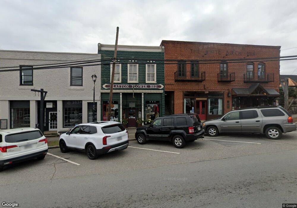
32 E Savannah St Clayton, GA 30525
Estimated Value: $1,038,150
--
Bed
--
Bath
7,744
Sq Ft
$134/Sq Ft
Est. Value
About This Home
This home is located at 32 E Savannah St, Clayton, GA 30525 and is currently estimated at $1,038,150, approximately $134 per square foot. 32 E Savannah St is a home located in Rabun County with nearby schools including Rabun County Primary School, Rabun County High School, and Great Oaks Montessori .
Ownership History
Date
Name
Owned For
Owner Type
Purchase Details
Closed on
Jan 9, 2013
Sold by
Hart Salter Llc
Bought by
White Birch Llc
Current Estimated Value
Purchase Details
Closed on
Nov 27, 2012
Sold by
First American Bank & Trust
Bought by
Hart Salter Llc
Purchase Details
Closed on
Dec 6, 2011
Purchase Details
Closed on
Jan 1, 2008
Sold by
Not Provided
Bought by
M B & H Ii Llc
Purchase Details
Closed on
Jun 1, 2006
Sold by
Not Provided
Bought by
M B & H Ii Llc
Purchase Details
Closed on
Jun 1, 2001
Purchase Details
Closed on
Feb 1, 2001
Purchase Details
Closed on
Jul 1, 1997
Purchase Details
Closed on
Dec 1, 1993
Purchase Details
Closed on
Nov 1, 1993
Purchase Details
Closed on
Jun 1, 1978
Create a Home Valuation Report for This Property
The Home Valuation Report is an in-depth analysis detailing your home's value as well as a comparison with similar homes in the area
Home Values in the Area
Average Home Value in this Area
Purchase History
| Date | Buyer | Sale Price | Title Company |
|---|---|---|---|
| White Birch Llc | -- | -- | |
| White Birch Llc | -- | -- | |
| Hart Salter Llc | -- | -- | |
| Hart Salter Llc | -- | -- | |
| -- | $329,263 | -- | |
| -- | $329,263 | -- | |
| M B & H Ii Llc | $405,000 | -- | |
| M B & H Ii Llc | $405,000 | -- | |
| M B & H Ii Llc | $366,800 | -- | |
| M B & H Ii Llc | $366,800 | -- | |
| -- | $390,000 | -- | |
| -- | $390,000 | -- | |
| -- | $285,000 | -- | |
| -- | $285,000 | -- | |
| -- | $95,000 | -- | |
| -- | $100,000 | -- | |
| -- | $95,000 | -- | |
| -- | $100,000 | -- | |
| -- | $35,000 | -- | |
| -- | $35,000 | -- | |
| -- | -- | -- | |
| -- | -- | -- | |
| -- | -- | -- | |
| -- | -- | -- |
Source: Public Records
Tax History Compared to Growth
Tax History
| Year | Tax Paid | Tax Assessment Tax Assessment Total Assessment is a certain percentage of the fair market value that is determined by local assessors to be the total taxable value of land and additions on the property. | Land | Improvement |
|---|---|---|---|---|
| 2024 | $8,057 | $342,484 | $100,000 | $242,484 |
| 2023 | $5,868 | $224,965 | $45,375 | $179,590 |
| 2022 | $3,721 | $203,286 | $23,696 | $179,590 |
| 2021 | $4,997 | $182,928 | $17,581 | $165,347 |
| 2020 | $5,152 | $182,928 | $17,581 | $165,347 |
| 2019 | $3,573 | $182,928 | $17,581 | $165,347 |
| 2018 | $5,077 | $182,928 | $17,581 | $165,347 |
| 2017 | $3,439 | $182,928 | $17,581 | $165,347 |
| 2016 | $3,355 | $177,960 | $12,613 | $165,347 |
| 2015 | $3,427 | $177,960 | $12,613 | $165,347 |
| 2014 | $3,445 | $177,960 | $12,613 | $165,347 |
Source: Public Records
Map
Nearby Homes
- 0 Steepway Unit 10480160
- 0 Laurel Ln Unit 20110131
- LOTS 92 & 93 Chechero Heights St
- 331 Duggan Hill Dr
- 51 Cottonwood St
- 41 Mike Foster Ln
- 121 N Church St Unit 101
- 25 Valley St
- 104 Hamby St
- 127 Hamby St
- 582 Polly Gap Rd
- 124 Starlight Ln
- 0 Travelers Ln Unit 10608680
- 0 Travelers Ln Unit 10590360
- 180 Orme St
- 167 Travelers Ln
- 156 Smith St
- 73 Cannon St
- 34 Living Waters Way Unit 2F
- 0 Toole St Unit 10538991
- 0 Highway 441 N Unit 2712469
- 0 Highway 441 N Unit 3166807
- 0 Highway 441 N Unit 3267169
- 0 Highway 441 N Unit 7028617
- 0 Highway 441 N Unit 7067906
- 0 Highway 441 N Unit 7215752
- 0 Highway 441 N Unit 7444397
- 0 Highway 441 N Unit 7513130
- 0 Highway 441 N Unit 7617037
- 0 Highway 441 N Unit 8072613
- 0 Highway 441 N Unit 3144228
- 0 Old Hwy 441 Unit 14
- 0 Highway 441 N
- 0 Old Hwy 441 Unit 3204897
- 0 Highway 441 N Unit 7225213
- 0 Highway 441 N Unit 2661761
- 0 Highway 441 N Unit 7432790
- 0 Highway 441 N Unit 7366565
- 0 Highway 441 N Unit 3250257
- 0 Highway 441 N Unit 7140398