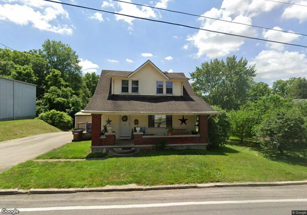
32 E Westbrook Rd Brookville, OH 45309
Estimated Value: $196,873 - $214,000
3
Beds
2
Baths
1,430
Sq Ft
$143/Sq Ft
Est. Value
About This Home
This home is located at 32 E Westbrook Rd, Brookville, OH 45309 and is currently estimated at $204,468, approximately $142 per square foot. 32 E Westbrook Rd is a home located in Montgomery County with nearby schools including Brookville Elementary School, Brookville Intermediate School, and Brookville High School.
Ownership History
Date
Name
Owned For
Owner Type
Purchase Details
Closed on
May 4, 2001
Sold by
Alan Weaver Mark and Lynn Teresa
Bought by
Smith Allen D and Smith Pamela S
Current Estimated Value
Home Financials for this Owner
Home Financials are based on the most recent Mortgage that was taken out on this home.
Original Mortgage
$103,050
Outstanding Balance
$36,861
Interest Rate
6.95%
Estimated Equity
$167,607
Create a Home Valuation Report for This Property
The Home Valuation Report is an in-depth analysis detailing your home's value as well as a comparison with similar homes in the area
Home Values in the Area
Average Home Value in this Area
Purchase History
| Date | Buyer | Sale Price | Title Company |
|---|---|---|---|
| Smith Allen D | $108,500 | Landmark Title Agency Inc |
Source: Public Records
Mortgage History
| Date | Status | Borrower | Loan Amount |
|---|---|---|---|
| Open | Smith Allen D | $103,050 |
Source: Public Records
Tax History
| Year | Tax Paid | Tax Assessment Tax Assessment Total Assessment is a certain percentage of the fair market value that is determined by local assessors to be the total taxable value of land and additions on the property. | Land | Improvement |
|---|---|---|---|---|
| 2025 | $2,395 | $46,550 | $4,830 | $41,720 |
| 2024 | $2,312 | $46,550 | $4,830 | $41,720 |
| 2023 | $2,312 | $46,550 | $4,830 | $41,720 |
| 2022 | $2,119 | $33,020 | $3,430 | $29,590 |
| 2021 | $1,996 | $33,020 | $3,430 | $29,590 |
| 2020 | $1,999 | $33,020 | $3,430 | $29,590 |
| 2019 | $2,003 | $30,290 | $3,430 | $26,860 |
| 2018 | $2,014 | $30,290 | $3,430 | $26,860 |
| 2017 | $2,004 | $30,290 | $3,430 | $26,860 |
| 2016 | $1,728 | $25,650 | $3,430 | $22,220 |
| 2015 | $1,700 | $25,650 | $3,430 | $22,220 |
| 2014 | $1,700 | $25,650 | $3,430 | $22,220 |
| 2012 | -- | $34,580 | $3,430 | $31,150 |
Source: Public Records
Map
Nearby Homes
- 232 Maple St
- 107 Evergreen Way
- 102 Meadowlark Ln
- 102 Meadowlark Ln Unit 905-201
- 104 Meadowlark Ln
- 104 Meadowlark Ln Unit 905-202
- 115 Ostend St
- 12 Harshman St
- 421 Market St
- 254 Crosswell Ave
- 144 Evergreen Way
- 115 N Wolf Creek St
- 126 Church St
- 336 N Wolf Creek St
- 766 Hunters Run Dr
- 5217 Keener Rd
- 124 Ankara Ave
- 143 Antwerp Ave
- 150 Antwerp Ave
- 164 Autumn Maple Ln
- 421 S Wolf Creek Pike
- 421 S Wolf Creek Pike
- 401 S Wolf Creek St
- 112 E Westbrook Rd
- 1 Westbrook Rd
- 3 Westbrook Rd
- 0003 Westbrook Rd
- 0 Westbrook Rd Unit 399808
- 0 Westbrook Rd Unit 418863
- 0 Westbrook Rd Unit 440834
- 0 Westbrook Rd Unit 485576
- 0 Westbrook Rd Unit 486702
- 0 Westbrook Rd Unit 737580
- 0 Westbrook Rd Unit 898277
- 0 Westbrook Rd Unit 563146
- 0 Westbrook Rd Unit 516361
- 0 Westbrook Rd Unit 526515
- 0 Westbrook Rd Unit 830888
- 0 Westbrook Rd Unit 827321
- 000 Westbrook Rd
Your Personal Tour Guide
Ask me questions while you tour the home.