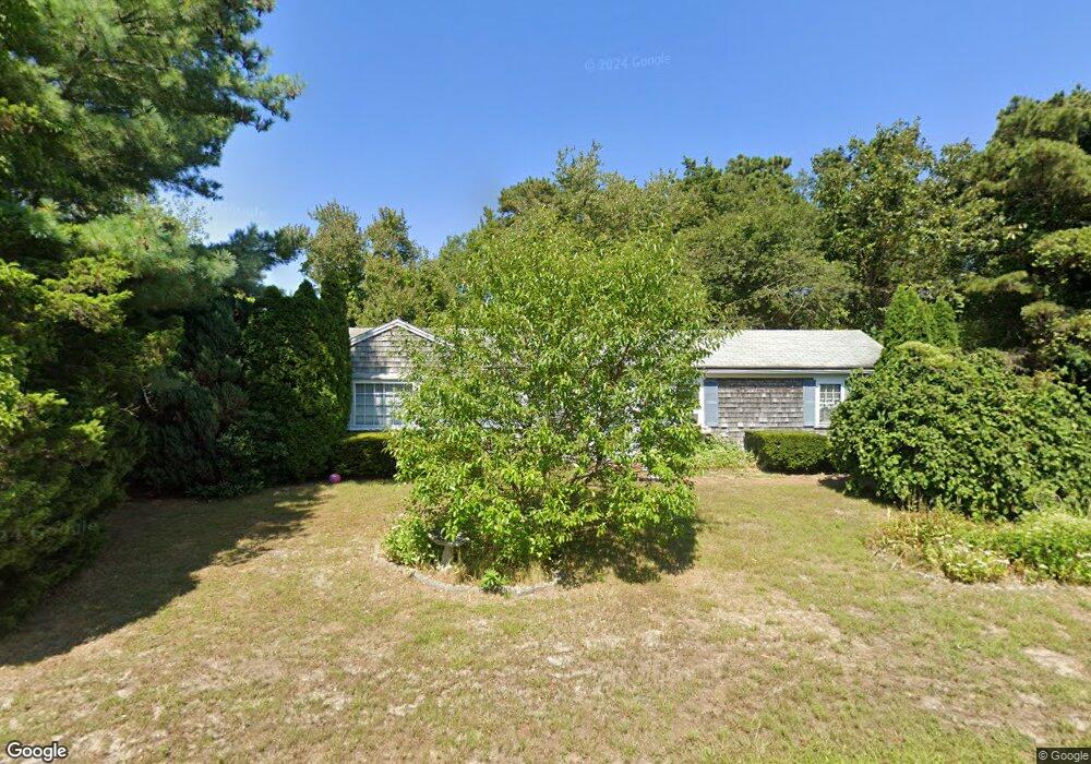
32 Ellis Dr Dennis Port, MA 02639
Dennis Port NeighborhoodEstimated Value: $511,000 - $587,000
3
Beds
1
Bath
1,201
Sq Ft
$462/Sq Ft
Est. Value
About This Home
This home is located at 32 Ellis Dr, Dennis Port, MA 02639 and is currently estimated at $555,157, approximately $462 per square foot. 32 Ellis Dr is a home located in Barnstable County with nearby schools including Dennis-Yarmouth Regional High School and St. Pius X. School.
Ownership History
Date
Name
Owned For
Owner Type
Purchase Details
Closed on
Sep 6, 2002
Sold by
Minacapelli Thomas J and Minacapelli Denise M
Bought by
Mingus Mellow Inc
Current Estimated Value
Purchase Details
Closed on
Dec 3, 1997
Sold by
Hamblen George W and Hamblen Mary M
Bought by
Minacapelli Thomas J and Minacapelli Denise M
Home Financials for this Owner
Home Financials are based on the most recent Mortgage that was taken out on this home.
Original Mortgage
$78,300
Interest Rate
7.28%
Mortgage Type
Purchase Money Mortgage
Create a Home Valuation Report for This Property
The Home Valuation Report is an in-depth analysis detailing your home's value as well as a comparison with similar homes in the area
Home Values in the Area
Average Home Value in this Area
Purchase History
| Date | Buyer | Sale Price | Title Company |
|---|---|---|---|
| Mingus Mellow Inc | $227,500 | -- | |
| Minacapelli Thomas J | $87,000 | -- |
Source: Public Records
Mortgage History
| Date | Status | Borrower | Loan Amount |
|---|---|---|---|
| Previous Owner | Minacapelli Thomas J | $78,300 |
Source: Public Records
Tax History Compared to Growth
Tax History
| Year | Tax Paid | Tax Assessment Tax Assessment Total Assessment is a certain percentage of the fair market value that is determined by local assessors to be the total taxable value of land and additions on the property. | Land | Improvement |
|---|---|---|---|---|
| 2025 | $2,117 | $489,000 | $197,400 | $291,600 |
| 2024 | $1,950 | $444,100 | $189,900 | $254,200 |
| 2023 | $1,886 | $403,800 | $172,600 | $231,200 |
| 2022 | $1,814 | $323,900 | $155,500 | $168,400 |
| 2021 | $1,746 | $289,600 | $152,400 | $137,200 |
| 2020 | $4,403 | $265,300 | $140,700 | $124,600 |
| 2019 | $1,535 | $248,800 | $138,000 | $110,800 |
| 2018 | $1,551 | $244,700 | $142,300 | $102,400 |
| 2017 | $1,398 | $227,300 | $131,300 | $96,000 |
| 2016 | $1,416 | $216,800 | $136,800 | $80,000 |
| 2015 | $1,388 | $216,800 | $136,800 | $80,000 |
| 2014 | $1,273 | $200,400 | $120,400 | $80,000 |
Source: Public Records
Map
Nearby Homes
- 12 Cross St
- 159 Center St Unit 22
- 26 Manning Rd
- 102 Sea St
- 10 Candlewood Ln Unit 2-1
- 12 Candlewood Ln Unit 2-9
- 22 Ferncliff Rd
- 72 Bassett Ln
- 221 Upper County Rd Unit 2A
- 221 Upper County Rd Unit 2A
- 402 Old Wharf Rd
- 402 Old Wharf Rd
- 22 Wixon Rd
- 268 Main St
- 9 Country Ln
- 11 Ocean Park W
- 166 Upper County Rd Unit 1-4
- 73 Division St
- 405 Old Wharf Rd Unit B204
- 405 Old Wharf Rd Unit B204