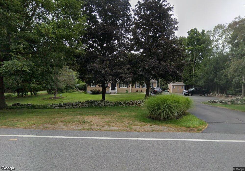
32 Elm St Hanover, MA 02339
Estimated Value: $684,000 - $834,000
3
Beds
1
Bath
2,032
Sq Ft
$373/Sq Ft
Est. Value
About This Home
This home is located at 32 Elm St, Hanover, MA 02339 and is currently estimated at $756,969, approximately $372 per square foot. 32 Elm St is a home located in Plymouth County with nearby schools including Hanover High School, Cadence Academy Preschool - Hanover, and Cardinal Cushing Centers.
Ownership History
Date
Name
Owned For
Owner Type
Purchase Details
Closed on
Nov 24, 1997
Sold by
Est Purcell Marjorie and Purcell James A
Bought by
Sullivan Timothy C and Sullivan Tina M
Current Estimated Value
Home Financials for this Owner
Home Financials are based on the most recent Mortgage that was taken out on this home.
Original Mortgage
$123,000
Interest Rate
7.17%
Mortgage Type
Purchase Money Mortgage
Purchase Details
Closed on
Jul 21, 1995
Sold by
Comerford John J and Comerford Louise
Bought by
Purcell Marjorie H
Create a Home Valuation Report for This Property
The Home Valuation Report is an in-depth analysis detailing your home's value as well as a comparison with similar homes in the area
Home Values in the Area
Average Home Value in this Area
Purchase History
| Date | Buyer | Sale Price | Title Company |
|---|---|---|---|
| Sullivan Timothy C | $183,000 | -- | |
| Purcell Marjorie H | $175,900 | -- |
Source: Public Records
Mortgage History
| Date | Status | Borrower | Loan Amount |
|---|---|---|---|
| Open | Purcell Marjorie H | $212,730 | |
| Closed | Purcell Marjorie H | $150,000 | |
| Closed | Purcell Marjorie H | $30,000 | |
| Closed | Purcell Marjorie H | $123,000 |
Source: Public Records
Tax History Compared to Growth
Tax History
| Year | Tax Paid | Tax Assessment Tax Assessment Total Assessment is a certain percentage of the fair market value that is determined by local assessors to be the total taxable value of land and additions on the property. | Land | Improvement |
|---|---|---|---|---|
| 2025 | $7,457 | $603,800 | $280,100 | $323,700 |
| 2024 | $7,753 | $603,800 | $280,100 | $323,700 |
| 2023 | $7,409 | $549,200 | $254,800 | $294,400 |
| 2022 | $7,221 | $473,500 | $242,100 | $231,400 |
| 2021 | $18,365 | $422,300 | $197,000 | $225,300 |
| 2020 | $6,977 | $427,800 | $208,600 | $219,200 |
| 2019 | $6,621 | $403,500 | $208,600 | $194,900 |
| 2018 | $6,439 | $395,500 | $208,600 | $186,900 |
| 2017 | $18,661 | $380,500 | $204,800 | $175,700 |
| 2016 | $6,102 | $361,900 | $186,200 | $175,700 |
| 2015 | $5,294 | $327,800 | $172,500 | $155,300 |
Source: Public Records
Map
Nearby Homes
- 186 Elm St
- 180 Elm St
- 28 Old Shipyard Ln
- 20 Meadow Brook Rd
- 55 Shipyard Ln
- 114 Graham Hill Dr
- 7 Farmside Dr
- 172 Washington St
- 26 Church St
- 14 Longwood Ln Unit 14
- 133 Brigantine Cir
- 261 Washington St
- 46 Lorna Ave
- 265 Silver St
- 250 Center St
- 51 Cervelli Farm Dr
- 37 Dr
- 23 Cervelli Farm Dr
- 38 Cervelli Farm Dr
- 9 Cervelli Farm Dr