Estimated Value: $409,000 - $746,000
2
Beds
3
Baths
1,734
Sq Ft
$367/Sq Ft
Est. Value
About This Home
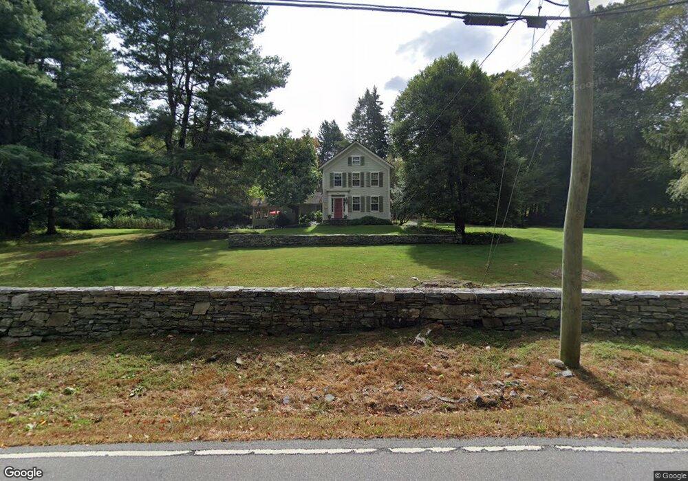
This home is located at 32 Ferry Rd, Lyme, CT 06371 and is currently estimated at $637,143, approximately $367 per square foot. 32 Ferry Rd is a home located in New London County with nearby schools including Lyme Consolidated School, Lyme-Old Lyme Middle School, and Lyme-Old Lyme High School.
Ownership History
Date
Name
Owned For
Owner Type
Purchase Details
Closed on
Nov 16, 1993
Sold by
Nelson Jeffrey A and Nelson Carol L
Bought by
Pratt Richard L and Taylor Muriel G
Current Estimated Value
Home Financials for this Owner
Home Financials are based on the most recent Mortgage that was taken out on this home.
Original Mortgage
$70,000
Interest Rate
6.75%
Mortgage Type
Unknown
Create a Home Valuation Report for This Property
The Home Valuation Report is an in-depth analysis detailing your home's value as well as a comparison with similar homes in the area
Home Values in the Area
Average Home Value in this Area
Purchase History
| Date | Buyer | Sale Price | Title Company |
|---|---|---|---|
| Pratt Richard L | $235,000 | -- | |
| Pratt Richard L | $235,000 | -- |
Source: Public Records
Mortgage History
| Date | Status | Borrower | Loan Amount |
|---|---|---|---|
| Closed | Pratt Richard L | $70,000 |
Source: Public Records
Tax History
| Year | Tax Paid | Tax Assessment Tax Assessment Total Assessment is a certain percentage of the fair market value that is determined by local assessors to be the total taxable value of land and additions on the property. | Land | Improvement |
|---|---|---|---|---|
| 2025 | $5,510 | $380,022 | $158,422 | $221,600 |
| 2024 | $5,510 | $380,022 | $158,422 | $221,600 |
| 2023 | $5,415 | $277,698 | $112,998 | $164,700 |
| 2022 | $5,540 | $277,698 | $112,998 | $164,700 |
| 2021 | $5,540 | $277,698 | $112,998 | $164,700 |
| 2020 | $5,540 | $277,698 | $112,998 | $164,700 |
| 2019 | $5,540 | $277,698 | $112,998 | $164,700 |
| 2018 | $5,688 | $305,807 | $124,407 | $181,400 |
| 2017 | $5,581 | $305,807 | $124,407 | $181,400 |
| 2016 | $5,581 | $305,807 | $124,407 | $181,400 |
| 2015 | $5,428 | $305,807 | $124,407 | $181,400 |
| 2014 | $5,199 | $305,807 | $124,407 | $181,400 |
Source: Public Records
Map
Nearby Homes
- 11 Phelps Rd
- 153 Mitchell Hill Rd
- 153 Ferry Rd
- 0 Florida Rd
- 26 Ferry Rd
- 1 Ferry Rd
- 79 Middlesex Ave
- 11 Kings Hwy
- 11 Winter Ave
- 62 River St
- 252 River Rd
- 7 Hickory Hill Dr
- 92 Main St Unit 101
- 253 Clark Hill Rd
- 257 Norwich Salem Rd
- 134 Meadow Woods Rd
- 209 Main St
- 401 Fox Hopyard Rd
- 53 Shanaghans Rd
- 134 River Rd
- 38 Ferry Rd
- 24 Ferry Rd
- 23 Ferry Rd
- 23 Ferry Rd
- 35 Ferry Rd
- 35 Ferry Rd
- 41 Ferry Rd
- 41 Ferry Rd
- 14 Ferry Rd Unit A1
- 14 Ferry Rd Unit F2
- 14 Ferry Rd Unit C1
- 14 Ferry Rd Unit B1
- 14 Ferry Rd Unit F1
- 14 Ferry Rd Unit B2
- 14 Ferry Rd Unit A2
- 14 Ferry Rd Unit H1
- 14 Ferry Rd
- 14 Ferry Rd Unit G1
- 14 Ferry Rd Unit E1
- 14 Ferry Rd Unit D1
Your Personal Tour Guide
Ask me questions while you tour the home.