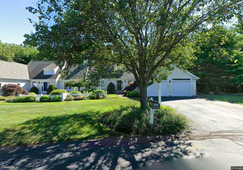
32 Fieldstone Dr Pembroke, MA 02359
Estimated Value: $686,000 - $773,000
--
Bed
3
Baths
2,028
Sq Ft
$358/Sq Ft
Est. Value
About This Home
This home is located at 32 Fieldstone Dr, Pembroke, MA 02359 and is currently estimated at $725,651, approximately $357 per square foot. 32 Fieldstone Dr is a home located in Plymouth County with nearby schools including Pembroke High School, Cadence Academy Preschool - Hanover, and Cardinal Cushing Centers.
Ownership History
Date
Name
Owned For
Owner Type
Purchase Details
Closed on
Feb 15, 2018
Sold by
Amiss Sheila D
Bought by
32 Fielstone Drive Rt
Current Estimated Value
Purchase Details
Closed on
Sep 16, 1998
Sold by
North Triangle Rt and Sealund Roger A
Bought by
Amiss Sheila D
Home Financials for this Owner
Home Financials are based on the most recent Mortgage that was taken out on this home.
Original Mortgage
$40,000
Interest Rate
6.9%
Mortgage Type
Purchase Money Mortgage
Create a Home Valuation Report for This Property
The Home Valuation Report is an in-depth analysis detailing your home's value as well as a comparison with similar homes in the area
Home Values in the Area
Average Home Value in this Area
Purchase History
| Date | Buyer | Sale Price | Title Company |
|---|---|---|---|
| 32 Fielstone Drive Rt | -- | -- | |
| Amiss Sheila D | $219,900 | -- |
Source: Public Records
Mortgage History
| Date | Status | Borrower | Loan Amount |
|---|---|---|---|
| Previous Owner | Amiss Sheila D | $78,338 | |
| Previous Owner | Amiss Sheila D | $150,000 | |
| Previous Owner | Amiss Sheila D | $50,000 | |
| Previous Owner | Amiss Sheila D | $40,000 |
Source: Public Records
Tax History Compared to Growth
Tax History
| Year | Tax Paid | Tax Assessment Tax Assessment Total Assessment is a certain percentage of the fair market value that is determined by local assessors to be the total taxable value of land and additions on the property. | Land | Improvement |
|---|---|---|---|---|
| 2025 | $7,788 | $647,900 | $0 | $647,900 |
| 2024 | $7,765 | $645,500 | $0 | $645,500 |
| 2023 | $7,266 | $571,200 | $0 | $571,200 |
| 2022 | $7,177 | $507,200 | $0 | $507,200 |
| 2021 | $7,083 | $485,800 | $0 | $485,800 |
| 2020 | $6,952 | $479,800 | $0 | $479,800 |
| 2019 | $6,796 | $465,500 | $0 | $465,500 |
| 2018 | $6,943 | $466,300 | $0 | $466,300 |
| 2017 | $6,821 | $451,700 | $0 | $451,700 |
| 2016 | $6,476 | $424,400 | $0 | $424,400 |
| 2015 | $6,161 | $418,000 | $0 | $418,000 |
Source: Public Records
Map
Nearby Homes
- 33 Barker Square Dr Unit 33
- 100 Fairwood Dr
- 599 Washington St Unit 14
- 40 Brisan Way
- 30 Old Washington St Unit 9
- 261 Washington St
- 330 Pleasant St
- 99 Old Washington St
- 26 Pierce Dr
- 172 Washington St
- 77 Old Cart Path Ln Unit Lot 4
- 78 Old Cart Path Ln Unit Lot 3
- 72 Old Cart Path Ln Unit Lot 2
- 290 High St
- 218 Schoosett St
- 204 Center St Unit 9
- 55 Shipyard Ln
- 29 Liberty Dr Unit 29
- 53 Grove St
- 10 Warren Terrace
- 40 Fieldstone Dr
- 36 Fieldstone Dr
- 44 Fieldstone Dr
- 25 Fieldstone Dr
- 29 Fieldstone Dr
- 33 Fieldstone Dr
- 37 Fieldstone Dr
- 48 Fieldstone Dr
- 6 Trellis Cir
- 2 Trellis Cir
- 7 Picket Trail
- 11 Picket Trail
- 12 Picket Trail
- 8 Picket Trail
- 60 Fieldstone Dr
- 54 Fieldstone Dr
- 11 Picket Trail Unit 21
- 2 Trellis Cir Unit 23
- 18 Cottage Ln
- 22 Cottage Ln