32 Finn Rd Harvard, MA 01451
Estimated Value: $1,015,843 - $1,187,000
4
Beds
4
Baths
3,027
Sq Ft
$366/Sq Ft
Est. Value
About This Home
This home is located at 32 Finn Rd, Harvard, MA 01451 and is currently estimated at $1,108,461, approximately $366 per square foot. 32 Finn Rd is a home located in Worcester County.
Ownership History
Date
Name
Owned For
Owner Type
Purchase Details
Closed on
Feb 23, 2024
Sold by
Frost Edmund C and Frost Abbie K
Bought by
Frost Ft and Frost
Current Estimated Value
Purchase Details
Closed on
Jan 23, 1985
Bought by
Frost Edmund C and Frost Abbie K
Create a Home Valuation Report for This Property
The Home Valuation Report is an in-depth analysis detailing your home's value as well as a comparison with similar homes in the area
Home Values in the Area
Average Home Value in this Area
Purchase History
| Date | Buyer | Sale Price | Title Company |
|---|---|---|---|
| Frost Ft | -- | None Available | |
| Frost Edmund C | $225,000 | -- |
Source: Public Records
Mortgage History
| Date | Status | Borrower | Loan Amount |
|---|---|---|---|
| Previous Owner | Frost Edmund C | $130,000 | |
| Previous Owner | Frost Edmund C | $202,300 | |
| Previous Owner | Frost Edmund C | $225,000 |
Source: Public Records
Tax History Compared to Growth
Tax History
| Year | Tax Paid | Tax Assessment Tax Assessment Total Assessment is a certain percentage of the fair market value that is determined by local assessors to be the total taxable value of land and additions on the property. | Land | Improvement |
|---|---|---|---|---|
| 2025 | $14,686 | $938,400 | $285,800 | $652,600 |
| 2024 | $14,151 | $949,700 | $285,800 | $663,900 |
| 2023 | $13,232 | $796,600 | $265,900 | $530,700 |
| 2022 | $11,905 | $664,700 | $257,400 | $407,300 |
| 2021 | $12,222 | $650,800 | $257,400 | $393,400 |
| 2020 | $11,357 | $614,900 | $257,400 | $357,500 |
| 2019 | $10,793 | $619,600 | $257,400 | $362,200 |
| 2018 | $4,602 | $613,900 | $257,400 | $356,500 |
| 2017 | $9,819 | $542,500 | $217,400 | $325,100 |
| 2016 | $9,792 | $542,500 | $217,400 | $325,100 |
| 2015 | $9,326 | $524,200 | $213,400 | $310,800 |
| 2014 | $9,555 | $559,100 | $213,400 | $345,700 |
Source: Public Records
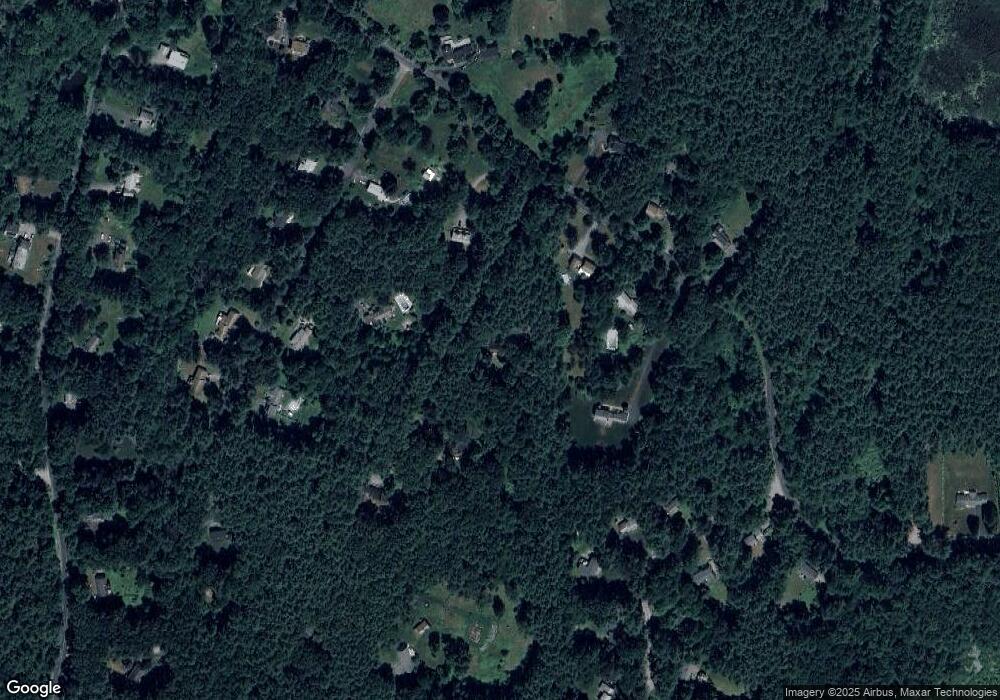
Map
Nearby Homes
- 13 Pine Hill Way
- 14 Pine Hill Way
- 16 A Pine Hill Way Unit 16AA
- 18 B Pine Hill Way Unit BB
- 90 Corn Rd
- 184 Old Bolton Rd
- 310 Codman Hill Rd Unit 35D
- 76 Bolton Woods Way
- 19 Partridge Hill Rd
- 1155 Burroughs Rd
- 9 Cortland Dr Unit 9
- 98 Meadow Rd
- 19 Barton Rd
- 51 Heather Ln Unit 51
- 21 Woodside Rd
- 207 Boxboro Rd
- 28 Mcintosh Dr Unit 22
- 176 Swanson Rd Unit 309
- 236 Bolton Rd
- 53 Swanson Ct Unit 36C