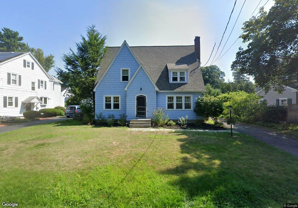
32 Forest Rd Delmar, NY 12054
Estimated Value: $484,819 - $602,000
4
Beds
2
Baths
2,235
Sq Ft
$247/Sq Ft
Est. Value
About This Home
This home is located at 32 Forest Rd, Delmar, NY 12054 and is currently estimated at $550,955, approximately $246 per square foot. 32 Forest Rd is a home located in Albany County with nearby schools including St. Thomas the Apostle School and Academy of the Holy Names.
Ownership History
Date
Name
Owned For
Owner Type
Purchase Details
Closed on
Nov 5, 2025
Sold by
Hayes Jennifer E
Bought by
32 Forest Road Llc
Current Estimated Value
Purchase Details
Closed on
Aug 22, 2011
Sold by
Cordo John L
Bought by
Hayes Jennifer E
Home Financials for this Owner
Home Financials are based on the most recent Mortgage that was taken out on this home.
Original Mortgage
$256,000
Interest Rate
3.66%
Mortgage Type
New Conventional
Purchase Details
Closed on
Aug 5, 2003
Sold by
Loughlin John
Bought by
Cordo John
Purchase Details
Closed on
Mar 12, 1996
Sold by
Strrett John
Bought by
Loughlin John and Loughlin Bernadette
Create a Home Valuation Report for This Property
The Home Valuation Report is an in-depth analysis detailing your home's value as well as a comparison with similar homes in the area
Home Values in the Area
Average Home Value in this Area
Purchase History
| Date | Buyer | Sale Price | Title Company |
|---|---|---|---|
| 32 Forest Road Llc | -- | None Listed On Document | |
| Hayes Jennifer E | $325,000 | None Available | |
| Cordo John | $215,000 | Scott Ely | |
| Loughlin John | $155,000 | -- |
Source: Public Records
Mortgage History
| Date | Status | Borrower | Loan Amount |
|---|---|---|---|
| Previous Owner | Hayes Jennifer E | $256,000 |
Source: Public Records
Tax History
| Year | Tax Paid | Tax Assessment Tax Assessment Total Assessment is a certain percentage of the fair market value that is determined by local assessors to be the total taxable value of land and additions on the property. | Land | Improvement |
|---|---|---|---|---|
| 2025 | $10,528 | $320,000 | $49,000 | $271,000 |
| 2024 | $10,528 | $320,000 | $49,000 | $271,000 |
| 2023 | $10,249 | $320,000 | $49,000 | $271,000 |
| 2022 | $10,033 | $320,000 | $49,000 | $271,000 |
| 2021 | $10,103 | $320,000 | $49,000 | $271,000 |
| 2020 | $10,046 | $320,000 | $49,000 | $271,000 |
| 2019 | $8,710 | $320,000 | $49,000 | $271,000 |
| 2018 | $9,245 | $320,000 | $49,000 | $271,000 |
| 2017 | $9,078 | $320,000 | $49,000 | $271,000 |
| 2016 | $9,078 | $320,000 | $49,000 | $271,000 |
| 2015 | -- | $320,000 | $49,000 | $271,000 |
| 2014 | -- | $320,000 | $49,000 | $271,000 |
Source: Public Records
Map
Nearby Homes
- 484 Kenwood Ave
- 27 Wexford Rd
- 60 Fernbank Ave
- 525 Kenwood Ave
- 23 Woodmont Dr
- 30 Willow Dr
- 2 Leaf Rd
- 8 Wedge Rd
- 43 Harrison Ave
- 616 Kenwood Ave
- 3 Groesbeck Place
- 264 Kenwood Ave
- 23 Canterbury Ln
- 25 Canterbury Ln
- 10 Canterbury Ln
- 17 Camden Cir
- 667 Feura Bush Rd
- 44 Kendall Dr
- 642 Feura Bush Rd
- 32 Slingerlands St
Your Personal Tour Guide
Ask me questions while you tour the home.