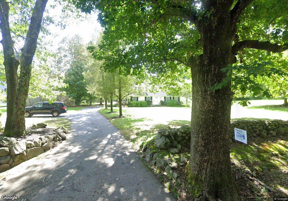
32 Forest St Sherborn, MA 01770
Estimated Value: $1,199,000 - $1,463,000
4
Beds
3
Baths
3,689
Sq Ft
$354/Sq Ft
Est. Value
About This Home
This home is located at 32 Forest St, Sherborn, MA 01770 and is currently estimated at $1,306,455, approximately $354 per square foot. 32 Forest St is a home located in Middlesex County with nearby schools including Pine Hill Elementary School, Dover-Sherborn Regional Middle School, and Dover-Sherborn Regional High School.
Ownership History
Date
Name
Owned For
Owner Type
Purchase Details
Closed on
Feb 20, 2024
Sold by
Schumacher Michael J and Schumacher Gayle H
Bought by
Michael J Schumacher Ret and Schumacher
Current Estimated Value
Purchase Details
Closed on
Dec 13, 2004
Sold by
Smith Eva H and Smith Stephen W
Bought by
Schumacher Gayle H and Schumacher Michael J
Purchase Details
Closed on
May 28, 1993
Sold by
Reilly Richard Y and Reilly Janet B
Bought by
Smith Stephen W and Smith Eve H
Create a Home Valuation Report for This Property
The Home Valuation Report is an in-depth analysis detailing your home's value as well as a comparison with similar homes in the area
Home Values in the Area
Average Home Value in this Area
Purchase History
| Date | Buyer | Sale Price | Title Company |
|---|---|---|---|
| Michael J Schumacher Ret | -- | None Available | |
| Schumacher Gayle H | $652,500 | -- | |
| Smith Stephen W | $310,000 | -- | |
| Smith Stephen W | $310,000 | -- |
Source: Public Records
Mortgage History
| Date | Status | Borrower | Loan Amount |
|---|---|---|---|
| Previous Owner | Smith Stephen W | $456,000 | |
| Previous Owner | Smith Stephen W | $465,750 |
Source: Public Records
Tax History
| Year | Tax Paid | Tax Assessment Tax Assessment Total Assessment is a certain percentage of the fair market value that is determined by local assessors to be the total taxable value of land and additions on the property. | Land | Improvement |
|---|---|---|---|---|
| 2025 | $17,737 | $1,069,800 | $453,000 | $616,800 |
| 2024 | $17,004 | $1,003,200 | $400,800 | $602,400 |
| 2023 | $16,758 | $930,500 | $400,800 | $529,700 |
| 2022 | $15,079 | $792,400 | $390,700 | $401,700 |
| 2021 | $7,371 | $750,000 | $390,700 | $359,300 |
| 2020 | $8,743 | $449,300 | $390,700 | $58,600 |
| 2019 | $12,588 | $641,600 | $390,700 | $250,900 |
| 2018 | $5,709 | $641,600 | $390,700 | $250,900 |
| 2017 | $12,497 | $610,800 | $390,700 | $220,100 |
| 2016 | $12,480 | $606,700 | $390,700 | $216,000 |
| 2015 | $12,101 | $595,500 | $377,700 | $217,800 |
| 2014 | $11,559 | $568,300 | $365,700 | $202,600 |
Source: Public Records
Map
Nearby Homes
- 32 Cider Hill Ln
- 174 S Main St
- 14 Sewall Brook Ln
- 20 Nason Hill Rd
- 00000 S Main St and Bullard St
- 59 Spywood Rd
- 65 Farm Road Lot 6
- 5 Farm Rd
- 27 Spywood Rd
- 21 Spywood Rd
- 137 Lake St
- 14 Fiske Pond Rd
- 114 Farm St
- 22 Sunset Way Unit 22
- 103 Farm St
- 90 Maple St
- 6 Beech St
- 119 Middlesex St
- 2 Towne Lyne Rd
- 6 Rivendell Ln
Your Personal Tour Guide
Ask me questions while you tour the home.