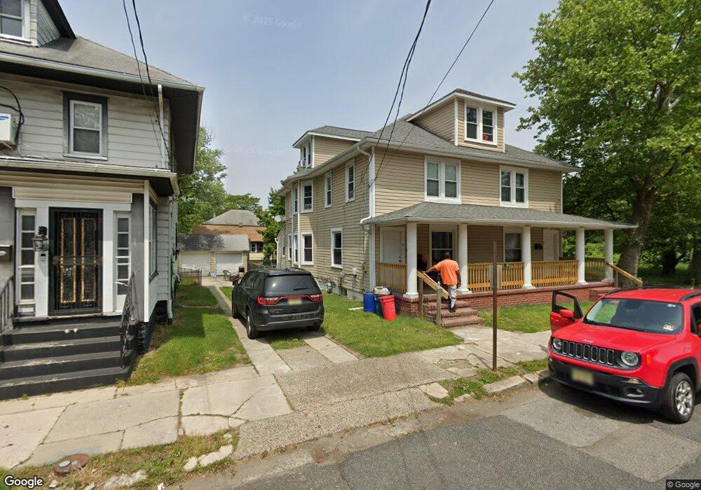
32 Franklin St Unit 34 Penns Grove, NJ 08069
Estimated Value: $221,536 - $260,000
--
Bed
--
Bath
2,760
Sq Ft
$88/Sq Ft
Est. Value
About This Home
This home is located at 32 Franklin St Unit 34, Penns Grove, NJ 08069 and is currently estimated at $243,134, approximately $88 per square foot. 32 Franklin St Unit 34 is a home located in Salem County with nearby schools including Lafayette-Pershing Elementary School, Field Street Elementary School, and Paul W. Carleton Elementary School.
Ownership History
Date
Name
Owned For
Owner Type
Purchase Details
Closed on
Jan 26, 2023
Sold by
Amorates Roseann and Amorates Nicholas
Bought by
Servious Sainsoir and Seneus Carol
Current Estimated Value
Home Financials for this Owner
Home Financials are based on the most recent Mortgage that was taken out on this home.
Original Mortgage
$186,558
Interest Rate
5.5%
Mortgage Type
FHA
Purchase Details
Closed on
Jan 30, 2008
Sold by
Batchis George
Bought by
Amorates Roseann
Home Financials for this Owner
Home Financials are based on the most recent Mortgage that was taken out on this home.
Original Mortgage
$111,300
Interest Rate
6.14%
Mortgage Type
New Conventional
Create a Home Valuation Report for This Property
The Home Valuation Report is an in-depth analysis detailing your home's value as well as a comparison with similar homes in the area
Home Values in the Area
Average Home Value in this Area
Purchase History
| Date | Buyer | Sale Price | Title Company |
|---|---|---|---|
| Servious Sainsoir | $190,000 | None Listed On Document | |
| Servious Sainsoir | $190,000 | None Listed On Document | |
| Amorates Roseann | $159,000 | -- |
Source: Public Records
Mortgage History
| Date | Status | Borrower | Loan Amount |
|---|---|---|---|
| Closed | Servious Sainsoir | $10,000 | |
| Previous Owner | Servious Sainsoir | $186,558 | |
| Previous Owner | Amorates Roseann | $111,300 | |
| Closed | Servious Sainsoir | $10,000 |
Source: Public Records
Tax History Compared to Growth
Tax History
| Year | Tax Paid | Tax Assessment Tax Assessment Total Assessment is a certain percentage of the fair market value that is determined by local assessors to be the total taxable value of land and additions on the property. | Land | Improvement |
|---|---|---|---|---|
| 2025 | $6,644 | $119,800 | $12,600 | $107,200 |
| 2024 | $6,421 | $119,800 | $12,600 | $107,200 |
| 2023 | $6,421 | $119,800 | $12,600 | $107,200 |
| 2022 | $6,190 | $119,800 | $12,600 | $107,200 |
| 2021 | $6,026 | $119,800 | $12,600 | $107,200 |
| 2020 | $6,001 | $119,800 | $12,600 | $107,200 |
| 2019 | $6,026 | $119,800 | $12,600 | $107,200 |
| 2018 | $5,966 | $147,900 | $20,600 | $127,300 |
| 2017 | $5,987 | $147,900 | $20,600 | $127,300 |
| 2016 | $5,761 | $147,900 | $20,600 | $127,300 |
| 2015 | $5,518 | $147,900 | $20,600 | $127,300 |
| 2014 | $5,458 | $147,900 | $20,600 | $127,300 |
Source: Public Records
Map
Nearby Homes
- 54 W Pitman St
- 35 Franklin St
- 87 W Pitman St
- 78 W Harmony St
- 48 Penn St
- 71 Poplar St
- 18 Pearl St
- 22 Delaware Ave
- 6 W Griffith St
- 89 Delaware Ave
- 0 W Main Street and Delaware Ave Unit NJSA2009780
- 102 Delaware Ave Unit FRONT
- 3 Naylor Ave
- 88 Railroad Ave
- 113 N Broad St
- 50 Mill St
- 59 61 Broad St
- 31 Elvin Ave
- 27 E Line St
- 28 4th Ave
- 32-34 Franklin St
- 30 Franklin St
- 109 Denny Ave
- 112 Denny Ave
- 114 Denny Ave
- 116 Denny Ave
- 107 W Harmony St
- 41 Franklin St
- 105 W Harmony St
- 101 W Harmony St
- 103 W Harmony St
- 39 Franklin St
- 47 Franklin St
- 117 Denny Ave Unit 119
- 64 Franklin St
- 57 Franklin St
- 97 W Harmony St
- 122 Denny Ave
- 95 W Harmony St
- 93 W Harmony St