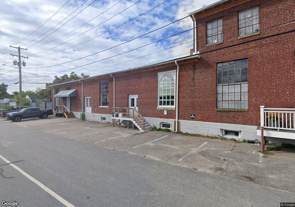
32 Friendship St Westerly, RI 02891
Estimated Value: $1,209,060
--
Bed
--
Bath
13,830
Sq Ft
$87/Sq Ft
Est. Value
About This Home
This home is located at 32 Friendship St, Westerly, RI 02891 and is currently estimated at $1,209,060, approximately $87 per square foot. 32 Friendship St is a home located in Washington County with nearby schools including Westerly High School and St. Michael School.
Ownership History
Date
Name
Owned For
Owner Type
Purchase Details
Closed on
Aug 30, 2024
Sold by
Friendship St Studios Llc
Bought by
Plume Pro Llc
Current Estimated Value
Home Financials for this Owner
Home Financials are based on the most recent Mortgage that was taken out on this home.
Original Mortgage
$715,000
Outstanding Balance
$706,753
Interest Rate
6.77%
Mortgage Type
Purchase Money Mortgage
Estimated Equity
$502,307
Create a Home Valuation Report for This Property
The Home Valuation Report is an in-depth analysis detailing your home's value as well as a comparison with similar homes in the area
Home Values in the Area
Average Home Value in this Area
Purchase History
| Date | Buyer | Sale Price | Title Company |
|---|---|---|---|
| Plume Pro Llc | $1,100,000 | None Available | |
| Plume Pro Llc | $1,100,000 | None Available |
Source: Public Records
Mortgage History
| Date | Status | Borrower | Loan Amount |
|---|---|---|---|
| Open | Plume Pro Llc | $715,000 | |
| Closed | Plume Pro Llc | $715,000 |
Source: Public Records
Tax History Compared to Growth
Tax History
| Year | Tax Paid | Tax Assessment Tax Assessment Total Assessment is a certain percentage of the fair market value that is determined by local assessors to be the total taxable value of land and additions on the property. | Land | Improvement |
|---|---|---|---|---|
| 2025 | $7,996 | $1,027,800 | $144,900 | $882,900 |
| 2024 | $5,513 | $527,600 | $131,200 | $396,400 |
| 2023 | $5,360 | $527,600 | $131,200 | $396,400 |
| 2022 | $5,329 | $527,600 | $131,200 | $396,400 |
| 2021 | $5,509 | $456,800 | $124,800 | $332,000 |
| 2020 | $5,413 | $456,800 | $124,800 | $332,000 |
| 2019 | $5,363 | $456,800 | $124,800 | $332,000 |
| 2018 | $4,682 | $379,100 | $121,100 | $258,000 |
| 2017 | $4,549 | $379,100 | $121,100 | $258,000 |
| 2016 | $4,288 | $357,300 | $121,100 | $236,200 |
| 2015 | $4,285 | $381,600 | $121,100 | $260,500 |
| 2014 | $4,217 | $381,600 | $121,100 | $260,500 |
Source: Public Records
Map
Nearby Homes
- 32 Friendship St Unit A
- 38 Friendship St
- 11 Marriott Ave
- 17 Industrial Dr
- 9 Marriott Ave
- 15A Marriott Ave
- 15 Marriott Ave Unit B
- 15 Marriott Ave Unit A
- 15 Marriott Ave
- 14 Marriott Ave
- 0 Industrial Dr
- 16 Industrial Dr
- 7 Marriott Ave
- 15 Industrial Dr
- 10 Marriott Ave
- 62 Pleasant St Unit 64
- 8 Marriott Ave
- 9 Industrial Dr
- 41 Friendship St
- 45 Canal St