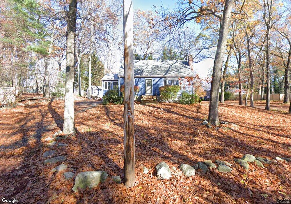
32 Glen St Westborough, MA 01581
Estimated Value: $606,000 - $674,000
3
Beds
2
Baths
1,428
Sq Ft
$446/Sq Ft
Est. Value
About This Home
This home is located at 32 Glen St, Westborough, MA 01581 and is currently estimated at $636,486, approximately $445 per square foot. 32 Glen St is a home located in Worcester County with nearby schools including Westborough High School, Al-Hamra Academy, and Ebridge Montessori School.
Ownership History
Date
Name
Owned For
Owner Type
Purchase Details
Closed on
Mar 20, 2007
Sold by
Belli Maureen A and Thompson Maureen A
Bought by
Hartog Douglas S
Current Estimated Value
Home Financials for this Owner
Home Financials are based on the most recent Mortgage that was taken out on this home.
Original Mortgage
$254,400
Interest Rate
6.4%
Mortgage Type
Purchase Money Mortgage
Purchase Details
Closed on
Jun 1, 1989
Sold by
Vaillancourt Arsene
Bought by
Belli Maureen
Create a Home Valuation Report for This Property
The Home Valuation Report is an in-depth analysis detailing your home's value as well as a comparison with similar homes in the area
Home Values in the Area
Average Home Value in this Area
Purchase History
| Date | Buyer | Sale Price | Title Company |
|---|---|---|---|
| Hartog Douglas S | $318,000 | -- | |
| Belli Maureen | $179,000 | -- |
Source: Public Records
Mortgage History
| Date | Status | Borrower | Loan Amount |
|---|---|---|---|
| Open | Belli Maureen | $245,000 | |
| Closed | Hartog Douglas S | $254,400 | |
| Previous Owner | Belli Maureen | $37,000 |
Source: Public Records
Tax History Compared to Growth
Tax History
| Year | Tax Paid | Tax Assessment Tax Assessment Total Assessment is a certain percentage of the fair market value that is determined by local assessors to be the total taxable value of land and additions on the property. | Land | Improvement |
|---|---|---|---|---|
| 2025 | $8,505 | $522,100 | $326,600 | $195,500 |
| 2024 | $8,171 | $497,900 | $310,700 | $187,200 |
| 2023 | $7,836 | $465,300 | $293,100 | $172,200 |
| 2022 | $7,365 | $398,300 | $240,000 | $158,300 |
| 2021 | $6,947 | $374,700 | $216,400 | $158,300 |
| 2020 | $6,767 | $369,400 | $212,400 | $157,000 |
| 2019 | $5,445 | $351,600 | $210,500 | $141,100 |
| 2018 | $5,974 | $323,600 | $202,600 | $121,000 |
| 2017 | $2,801 | $323,600 | $202,600 | $121,000 |
| 2016 | $5,478 | $308,300 | $196,700 | $111,600 |
| 2015 | $5,252 | $282,500 | $184,900 | $97,600 |
Source: Public Records
Map
Nearby Homes
- 8 Arch St
- 10 Linda St
- 30 Arch St
- 71 Nourse St
- 49 Arch St Unit 2
- Lot 1 Beeton Path
- 17 Olde Hickory Path
- 1 Benjamin Dr
- 201 Old Westboro Rd
- 8 Arch St
- 30 Old Nourse St
- 22 Capt Samuel Forbush Rd
- 16 Daania Dr Unit 16
- 457 Walnut St
- 165 Green St
- 603 South St
- 61 Wesson St
- 3 Appaloosa Dr
- 14 Nourse St
- 562 South St