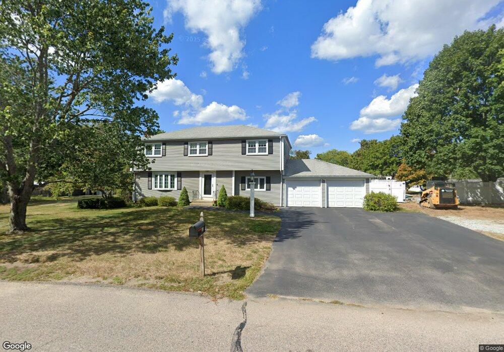
32 Hall Dr Norwell, MA 02061
Estimated Value: $881,000 - $1,221,000
3
Beds
3
Baths
2,141
Sq Ft
$465/Sq Ft
Est. Value
About This Home
This home is located at 32 Hall Dr, Norwell, MA 02061 and is currently estimated at $995,203, approximately $464 per square foot. 32 Hall Dr is a home located in Plymouth County with nearby schools including Grace Farrar Cole Elementary School, Norwell Middle School, and Norwell High School.
Ownership History
Date
Name
Owned For
Owner Type
Purchase Details
Closed on
Apr 30, 1997
Sold by
Lynch Robert J and Lynch Jeannette M
Bought by
Murphy Thomas A and Murphy Maryann H
Current Estimated Value
Create a Home Valuation Report for This Property
The Home Valuation Report is an in-depth analysis detailing your home's value as well as a comparison with similar homes in the area
Home Values in the Area
Average Home Value in this Area
Purchase History
| Date | Buyer | Sale Price | Title Company |
|---|---|---|---|
| Murphy Thomas A | $253,500 | -- | |
| Murphy Thomas A | $253,500 | -- |
Source: Public Records
Mortgage History
| Date | Status | Borrower | Loan Amount |
|---|---|---|---|
| Open | Murphy Thomas A | $180,000 | |
| Closed | Murphy Thomas A | $100,000 |
Source: Public Records
Tax History
| Year | Tax Paid | Tax Assessment Tax Assessment Total Assessment is a certain percentage of the fair market value that is determined by local assessors to be the total taxable value of land and additions on the property. | Land | Improvement |
|---|---|---|---|---|
| 2025 | $10,500 | $803,400 | $354,500 | $448,900 |
| 2024 | $10,075 | $748,500 | $334,400 | $414,100 |
| 2023 | $9,272 | $606,400 | $257,200 | $349,200 |
| 2022 | $8,852 | $532,600 | $223,600 | $309,000 |
| 2021 | $8,835 | $518,800 | $235,400 | $283,400 |
| 2020 | $5,718 | $508,000 | $235,400 | $272,600 |
| 2019 | $8,029 | $489,600 | $235,400 | $254,200 |
| 2018 | $7,343 | $449,400 | $216,300 | $233,100 |
| 2017 | $7,393 | $449,400 | $216,300 | $233,100 |
| 2016 | $7,196 | $436,100 | $216,300 | $219,800 |
| 2015 | $6,777 | $410,700 | $206,700 | $204,000 |
| 2014 | $6,198 | $378,600 | $206,700 | $171,900 |
Source: Public Records
Map
Nearby Homes
- 49 Washington Park Dr
- 214 Washington St Unit 24
- 214 Washington St Unit 28
- 7 Assinippi Ave Unit 205
- 18 Winterberry Ln
- 46 Brookwood Rd
- 5 Blueberry Ct
- 535 Webster St
- 8 Blueberry Ct
- 225 Prospect St
- 303 Pond St
- 18 Colby St
- 251 Prospect St
- 738 Whiting St
- 55 Turner Rd
- 17 Pine Haven Cir
- 776 Main St
- 100 Whiting St
- 53 Chestnut St
- 164 Main St
Your Personal Tour Guide
Ask me questions while you tour the home.