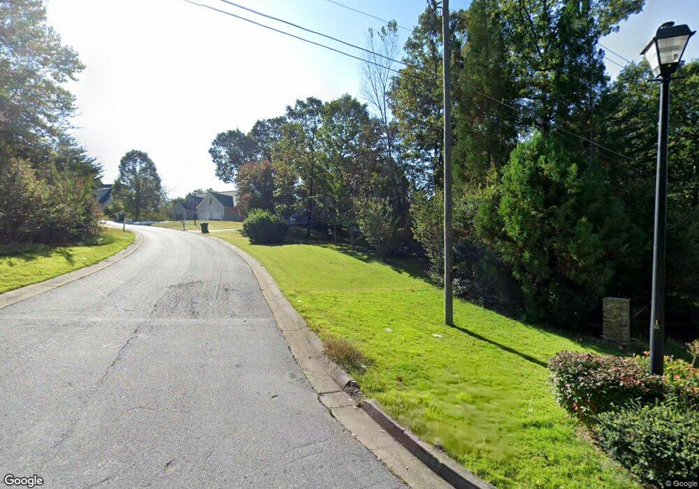
32 Hampton Forest Trail Unit 32 Dahlonega, GA 30533
Estimated Value: $453,000 - $552,000
3
Beds
3
Baths
2,719
Sq Ft
$182/Sq Ft
Est. Value
About This Home
This home is located at 32 Hampton Forest Trail Unit 32, Dahlonega, GA 30533 and is currently estimated at $495,568, approximately $182 per square foot. 32 Hampton Forest Trail Unit 32 is a home located in Lumpkin County with nearby schools including Lumpkin County High School.
Ownership History
Date
Name
Owned For
Owner Type
Purchase Details
Closed on
Nov 23, 2020
Sold by
Calamari Paul J
Bought by
Flynn Wayne and Flynn Robin S
Current Estimated Value
Home Financials for this Owner
Home Financials are based on the most recent Mortgage that was taken out on this home.
Original Mortgage
$287,386
Outstanding Balance
$254,256
Interest Rate
2.8%
Mortgage Type
VA
Estimated Equity
$241,312
Purchase Details
Closed on
Aug 13, 2020
Sold by
Beard Taylor
Bought by
Calamari Paul J
Purchase Details
Closed on
Sep 15, 2016
Sold by
Langston Stephen W and Langston Rita
Bought by
Beard Taylor
Home Financials for this Owner
Home Financials are based on the most recent Mortgage that was taken out on this home.
Original Mortgage
$177,500
Interest Rate
3.43%
Mortgage Type
New Conventional
Purchase Details
Closed on
Sep 29, 2010
Sold by
Langston Stephen W
Bought by
Langston Stephen W and Langston Rita
Purchase Details
Closed on
Oct 21, 2005
Sold by
Orion Construction Llc
Bought by
Langston Stephen W
Home Financials for this Owner
Home Financials are based on the most recent Mortgage that was taken out on this home.
Original Mortgage
$153,200
Interest Rate
5.76%
Mortgage Type
New Conventional
Purchase Details
Closed on
Mar 5, 2004
Sold by
Ground Level Prop Llc
Bought by
Orion Construction Llc
Purchase Details
Closed on
Jul 17, 2001
Bought by
Ground Level Prop Llc
Create a Home Valuation Report for This Property
The Home Valuation Report is an in-depth analysis detailing your home's value as well as a comparison with similar homes in the area
Home Values in the Area
Average Home Value in this Area
Purchase History
| Date | Buyer | Sale Price | Title Company |
|---|---|---|---|
| Flynn Wayne | $277,400 | -- | |
| Calamari Paul J | $277,400 | -- | |
| Beard Taylor | $222,000 | -- | |
| Langston Stephen W | -- | -- | |
| Langston Stephen W | $191,500 | -- | |
| Orion Construction Llc | $187,500 | -- | |
| Ground Level Prop Llc | -- | -- |
Source: Public Records
Mortgage History
| Date | Status | Borrower | Loan Amount |
|---|---|---|---|
| Open | Flynn Wayne | $287,386 | |
| Previous Owner | Beard Taylor | $177,500 | |
| Previous Owner | Langston Stephen W | $153,200 | |
| Previous Owner | Langston Stephen W | $38,300 |
Source: Public Records
Tax History Compared to Growth
Tax History
| Year | Tax Paid | Tax Assessment Tax Assessment Total Assessment is a certain percentage of the fair market value that is determined by local assessors to be the total taxable value of land and additions on the property. | Land | Improvement |
|---|---|---|---|---|
| 2024 | $3,952 | $173,008 | $12,000 | $161,008 |
| 2023 | $3,276 | $158,818 | $8,000 | $150,818 |
| 2022 | $3,200 | $131,247 | $8,000 | $123,247 |
| 2021 | $2,840 | $112,145 | $8,000 | $104,145 |
| 2020 | $2,452 | $94,940 | $8,000 | $86,940 |
| 2019 | $2,474 | $94,940 | $8,000 | $86,940 |
| 2018 | $2,320 | $83,784 | $8,000 | $75,784 |
| 2017 | $2,246 | $79,658 | $8,000 | $71,658 |
| 2016 | $1,909 | $63,829 | $8,000 | $55,829 |
| 2015 | $1,699 | $63,829 | $8,000 | $55,829 |
| 2014 | $1,699 | $64,450 | $8,000 | $56,450 |
| 2013 | -- | $65,070 | $8,000 | $57,070 |
Source: Public Records
Map
Nearby Homes
- 6439 S Chestatee
- 85 Waterloo Dr
- 6038 S Chestatee
- 0 Robinson Rd Unit 10597950
- 0 Robinson Rd Unit 7643549
- 433 Elliots Ln
- 0 Long Branch Rd Unit 10271720
- 0 Long Branch Rd Unit 10271266
- 0 Long Branch Rd Unit 7357871
- 00 Long Branch Rd
- 58 Rustin Ridge Unit 278
- 42 Rustin Ridge Unit 285
- 162 Stoneridge Dr
- 0 Gold Crest Dr Unit 7623108
- 0 Gold Crest Dr Unit 10373986
- 125 Lake Laurel Dr
- 1050 Robinson Rd
- 2041 Long Branch Rd
- 2041 Long Branch Rd Unit TRACT 2A
- 1376 Robinson Rd
- 32 Hampton Forest Trail
- 32 Hampton Forest Trail Unit 55
- 32 Hampton Forest Trail
- 42 Hampton Forest Trail
- 34 Hampton Forest Trail
- 36 Hampton Forest Trail
- 0 Hampton Forest Trail Unit 31 8446512
- 0 Hampton Forest Trail Unit 36 7590011
- 0 Hampton Forest Trail Unit 31 7589999
- 0 Hampton Forest Trail Unit 52 7589997
- 0 Hampton Forest Trail Unit 32 7589987
- 0 Hampton Forest Trail Unit 29 7589973
- 0 Hampton Forest Trail Unit 38 7590017
- 0 Hampton Forest Trail Unit 35 7590006
- 0 Hampton Forest Trail Unit 34 7590003
- 0 Hampton Forest Trail Unit 21 7589896
- 0 Hampton Forest Trail Unit 33 7589992
- 0 Hampton Forest Trail Unit 28 7589962
- 0 Hampton Forest Trail Unit 27 7589956
- 0 Hampton Forest Trail Unit 23 7589943
