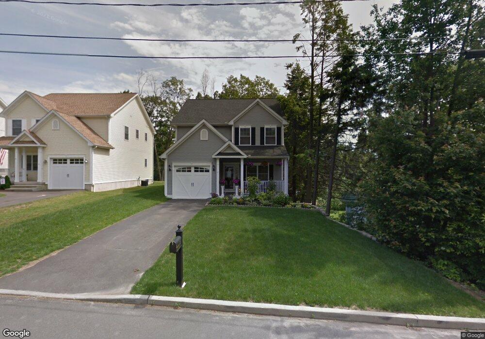
32 Hampton Rd Waterbury, CT 06708
West End District NeighborhoodEstimated Value: $380,000 - $392,316
3
Beds
3
Baths
1,726
Sq Ft
$224/Sq Ft
Est. Value
About This Home
This home is located at 32 Hampton Rd, Waterbury, CT 06708 and is currently estimated at $387,079, approximately $224 per square foot. 32 Hampton Rd is a home located in New Haven County with nearby schools including B.W. Tinker School, West Side Middle School, and John F. Kennedy High School.
Ownership History
Date
Name
Owned For
Owner Type
Purchase Details
Closed on
Oct 30, 2012
Sold by
Benjamin Isreal M
Bought by
Benjamin Isreal M and Benjamin Gertrude C
Current Estimated Value
Purchase Details
Closed on
Jun 27, 2008
Sold by
M Ferrara Dev Llc
Bought by
Benjamin Isreal M
Home Financials for this Owner
Home Financials are based on the most recent Mortgage that was taken out on this home.
Original Mortgage
$210,000
Interest Rate
6.07%
Mortgage Type
Purchase Money Mortgage
Create a Home Valuation Report for This Property
The Home Valuation Report is an in-depth analysis detailing your home's value as well as a comparison with similar homes in the area
Home Values in the Area
Average Home Value in this Area
Purchase History
| Date | Buyer | Sale Price | Title Company |
|---|---|---|---|
| Benjamin Isreal M | -- | -- | |
| Benjamin Isreal M | $262,900 | -- |
Source: Public Records
Mortgage History
| Date | Status | Borrower | Loan Amount |
|---|---|---|---|
| Previous Owner | Benjamin Isreal M | $210,000 |
Source: Public Records
Tax History
| Year | Tax Paid | Tax Assessment Tax Assessment Total Assessment is a certain percentage of the fair market value that is determined by local assessors to be the total taxable value of land and additions on the property. | Land | Improvement |
|---|---|---|---|---|
| 2025 | $9,059 | $201,390 | $22,820 | $178,570 |
| 2024 | $9,957 | $201,390 | $22,820 | $178,570 |
| 2023 | $10,913 | $201,390 | $22,820 | $178,570 |
| 2022 | $7,777 | $129,170 | $22,780 | $106,390 |
| 2021 | $7,777 | $129,170 | $22,780 | $106,390 |
| 2020 | $7,777 | $129,170 | $22,780 | $106,390 |
| 2019 | $7,777 | $129,170 | $22,780 | $106,390 |
| 2018 | $7,777 | $129,170 | $22,780 | $106,390 |
| 2017 | $8,677 | $144,120 | $22,780 | $121,340 |
| 2016 | $8,677 | $144,120 | $22,780 | $121,340 |
| 2015 | $8,391 | $144,120 | $22,780 | $121,340 |
| 2014 | $8,391 | $144,120 | $22,780 | $121,340 |
Source: Public Records
Map
Nearby Homes
- 110 Wooster Ave
- 90 Larchmont Ave
- 1 Ruth Parsons Dr
- 585 Park Rd Unit 5-7
- 0 Mason Ave
- 622 Lakeside Blvd W
- 10 Old Waterbury Rd
- 104 Eastfield Rd
- 27 Robinwood Rd
- 117 Arden Rd
- 0 Ferndale Ave
- 78 Carriage Dr
- 217 Ledgeside Ave
- 69 Tree Hill Rd
- 0004 Westwood Ave
- 308 Highland Ave
- 151 Highland Ave
- 3 W Birch Dr
- 79 Joshua Town Rd
- 240 Wesley St Unit 4
- 40 Hampton Rd
- Lot125 Hampton Rd
- lot127 Hampton Rd
- Lot126 Hampton Rd
- 35 Hampton Rd
- 25 Hampton Rd
- 256 Lakeside Blvd E
- 45 Hampton Rd
- 62 Hampton Rd
- 53 Hampton Rd
- 246 Lakeside Blvd E
- 63 Hampton Rd
- 75 Hampton Rd
- 261 Lakeside Blvd E
- 278 Lakeside Blvd E
- 85 Hampton Rd
- 249 Lakeside Blvd E
- 232 Lakeside Blvd E
- 243 Lakeside Blvd E
- 269 Lakeside Blvd E
Your Personal Tour Guide
Ask me questions while you tour the home.