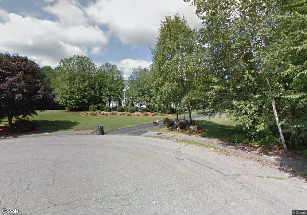
32 Haskell Ln Marlborough, MA 01752
Estimated Value: $1,130,000 - $1,155,000
5
Beds
4
Baths
3,872
Sq Ft
$296/Sq Ft
Est. Value
About This Home
This home is located at 32 Haskell Ln, Marlborough, MA 01752 and is currently estimated at $1,145,834, approximately $295 per square foot. 32 Haskell Ln is a home located in Middlesex County with nearby schools including Marlborough High School.
Ownership History
Date
Name
Owned For
Owner Type
Purchase Details
Closed on
Apr 9, 1998
Sold by
Flynn John J and Flynn Inger-Marie
Bought by
Koester Jeffrey F and Koester Laura J
Current Estimated Value
Home Financials for this Owner
Home Financials are based on the most recent Mortgage that was taken out on this home.
Original Mortgage
$330,400
Interest Rate
6.98%
Mortgage Type
Purchase Money Mortgage
Purchase Details
Closed on
Nov 19, 1993
Sold by
Briarwood Develop Corp
Bought by
Flynn John J and Flynn Inger Marie
Home Financials for this Owner
Home Financials are based on the most recent Mortgage that was taken out on this home.
Original Mortgage
$250,000
Interest Rate
6.77%
Mortgage Type
Purchase Money Mortgage
Create a Home Valuation Report for This Property
The Home Valuation Report is an in-depth analysis detailing your home's value as well as a comparison with similar homes in the area
Home Values in the Area
Average Home Value in this Area
Purchase History
| Date | Buyer | Sale Price | Title Company |
|---|---|---|---|
| Koester Jeffrey F | $413,000 | -- | |
| Flynn John J | $382,000 | -- |
Source: Public Records
Mortgage History
| Date | Status | Borrower | Loan Amount |
|---|---|---|---|
| Open | Flynn John J | $345,000 | |
| Closed | Flynn John J | $330,400 | |
| Previous Owner | Flynn John J | $250,000 |
Source: Public Records
Tax History Compared to Growth
Tax History
| Year | Tax Paid | Tax Assessment Tax Assessment Total Assessment is a certain percentage of the fair market value that is determined by local assessors to be the total taxable value of land and additions on the property. | Land | Improvement |
|---|---|---|---|---|
| 2025 | $10,088 | $1,023,100 | $286,600 | $736,500 |
| 2024 | $9,676 | $944,900 | $261,600 | $683,300 |
| 2023 | $9,692 | $839,900 | $218,600 | $621,300 |
| 2022 | $9,341 | $712,000 | $209,100 | $502,900 |
| 2021 | $4,316 | $668,500 | $179,500 | $489,000 |
| 2020 | $8,992 | $634,100 | $166,000 | $468,100 |
| 2019 | $8,843 | $628,500 | $163,100 | $465,400 |
| 2018 | $8,983 | $614,000 | $152,700 | $461,300 |
| 2017 | $9,397 | $613,400 | $155,000 | $458,400 |
| 2016 | $9,627 | $627,600 | $155,000 | $472,600 |
| 2015 | $9,993 | $634,100 | $168,600 | $465,500 |
Source: Public Records
Map
Nearby Homes
- 28 Stetson Dr
- 551 Sudbury St
- 618 Sudbury St
- 3 Stonehill Rd
- 168 Blanchette Dr
- 16 Minehan Ln
- 17 Mcneil Cir
- 1 Red Oak Dr
- 688 Boston Post Rd E Unit 202
- 688 Boston Post Rd E Unit 304
- 688 Boston Post Rd E Unit 100
- 688 Boston Post Rd E Unit 324
- 688 Boston Post Rd E Unit 228
- 38 Collins Dr
- 114 Linda Cir
- 111 Hager St
- 624 Boston Post Rd E Unit 7
- 100 Parmenter Rd
- 608 Boston Post Rd E Unit 11
- 596 Boston Post Rd E Unit 13
- 42 Graham Path
- 60 Graham Path
- 26 Graham Path
- 162 Littlefield Ln
- 178 Littlefield Ln
- 11 Haskell Ln
- 150 Littlefield Ln
- 7 Flint Dr
- 130 Littlefield Ln
- 8 Flint Dr
- 12 Graham Path
- 86 Graham Path
- 163 Littlefield Ln
- 85 Graham Path
- 116 Littlefield Ln
- 179 Littlefield Ln
- 149 Littlefield Ln
- 21 Flint Dr
- 26 Flint Dr
- 135 Littlefield Ln