Estimated Value: $931,000 - $1,138,000
3
Beds
4
Baths
3,488
Sq Ft
$303/Sq Ft
Est. Value
About This Home
This home is located at 32 Hemlock Ave, York, ME 03909 and is currently estimated at $1,057,542, approximately $303 per square foot. 32 Hemlock Ave is a home located in York County with nearby schools including Coastal Ridge Elementary School, Village Elementary School, and York Middle School.
Ownership History
Date
Name
Owned For
Owner Type
Purchase Details
Closed on
Mar 28, 2020
Sold by
Dagostino Deborah A
Bought by
Gamester Denise
Current Estimated Value
Purchase Details
Closed on
May 24, 2019
Sold by
Helen J Daley T 2015
Bought by
Stefanini Charles A and Stefanini Kathleen M
Home Financials for this Owner
Home Financials are based on the most recent Mortgage that was taken out on this home.
Original Mortgage
$300,000
Interest Rate
4.1%
Mortgage Type
New Conventional
Purchase Details
Closed on
Nov 6, 2015
Sold by
Daley Helen J
Bought by
Helen J Daley T
Create a Home Valuation Report for This Property
The Home Valuation Report is an in-depth analysis detailing your home's value as well as a comparison with similar homes in the area
Home Values in the Area
Average Home Value in this Area
Purchase History
| Date | Buyer | Sale Price | Title Company |
|---|---|---|---|
| Gamester Denise | -- | None Available | |
| Stefanini Charles A | -- | -- | |
| Helen J Daley T | -- | -- |
Source: Public Records
Mortgage History
| Date | Status | Borrower | Loan Amount |
|---|---|---|---|
| Previous Owner | Stefanini Charles A | $300,000 |
Source: Public Records
Tax History
| Year | Tax Paid | Tax Assessment Tax Assessment Total Assessment is a certain percentage of the fair market value that is determined by local assessors to be the total taxable value of land and additions on the property. | Land | Improvement |
|---|---|---|---|---|
| 2024 | $6,675 | $794,700 | $290,100 | $504,600 |
| 2023 | $6,353 | $751,800 | $247,200 | $504,600 |
| 2022 | $6,537 | $764,600 | $260,500 | $504,100 |
| 2021 | $5,864 | $589,300 | $166,600 | $422,700 |
| 2020 | $5,604 | $504,900 | $166,600 | $338,300 |
| 2019 | $5,557 | $498,400 | $163,200 | $335,200 |
| 2018 | $2,444 | $470,600 | $135,400 | $335,200 |
| 2017 | $4,633 | $423,100 | $135,400 | $287,700 |
| 2016 | $4,603 | $412,800 | $125,100 | $287,700 |
| 2015 | $4,535 | $412,300 | $125,100 | $287,200 |
| 2014 | $4,298 | $401,700 | $125,100 | $276,600 |
| 2013 | $4,190 | $401,700 | $125,100 | $276,600 |
Source: Public Records
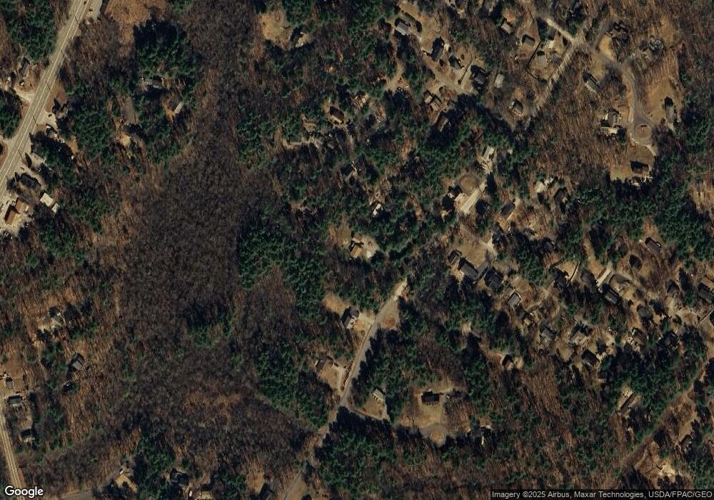
Map
Nearby Homes
- 31 Beacon Street Extension
- 5 Mckenna Ln
- 32 Bluestone Ln
- 801 US Route 1 Unit B3
- 24 Spring Pond Cir
- 12 Cardinal Ln
- 801 U S 1 Unit D2
- 35 Gunnison Rd
- 801 Us Rt 1 Yorke Woods Unit K-3
- 10 Yorke Ridge Way
- 8 Jeremiah Ln
- 744 U S 1 Unit 12
- 6 Kestrel Cir
- Lot A Juniper Rd
- 11 Driftwood Ln
- 8 Oceanside Ave Unit 2
- 115 Long Beach Ave Unit 3
- 293 Long Beach Ave
- 6 Dingle Rd Unit 4
- 6 Dingle Rd Unit 5
Your Personal Tour Guide
Ask me questions while you tour the home.