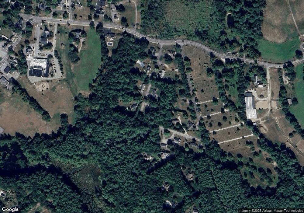
32 Hillcrest St Dunstable, MA 01827
Estimated Value: $590,000 - $835,000
3
Beds
3
Baths
3,192
Sq Ft
$215/Sq Ft
Est. Value
About This Home
This home is located at 32 Hillcrest St, Dunstable, MA 01827 and is currently estimated at $685,195, approximately $214 per square foot. 32 Hillcrest St is a home located in Middlesex County with nearby schools including Groton Dunstable Regional High School and Academy of Notre Dame - Upper School.
Ownership History
Date
Name
Owned For
Owner Type
Purchase Details
Closed on
Sep 17, 1984
Bought by
Zukatis Albert and Zukatis Carol
Current Estimated Value
Create a Home Valuation Report for This Property
The Home Valuation Report is an in-depth analysis detailing your home's value as well as a comparison with similar homes in the area
Home Values in the Area
Average Home Value in this Area
Purchase History
| Date | Buyer | Sale Price | Title Company |
|---|---|---|---|
| Zukatis Albert | $120,000 | -- |
Source: Public Records
Mortgage History
| Date | Status | Borrower | Loan Amount |
|---|---|---|---|
| Open | Zukatis Albert | $185,000 | |
| Closed | Zukatis Albert | $149,250 | |
| Closed | Zukatis Albert | $40,000 | |
| Closed | Zukatis Albert | $128,600 |
Source: Public Records
Tax History Compared to Growth
Tax History
| Year | Tax Paid | Tax Assessment Tax Assessment Total Assessment is a certain percentage of the fair market value that is determined by local assessors to be the total taxable value of land and additions on the property. | Land | Improvement |
|---|---|---|---|---|
| 2025 | $6,721 | $488,800 | $212,100 | $276,700 |
| 2024 | $6,416 | $459,600 | $195,800 | $263,800 |
| 2023 | $7,015 | $468,600 | $195,800 | $272,800 |
| 2022 | $6,765 | $443,600 | $195,800 | $247,800 |
| 2021 | $6,036 | $367,800 | $179,500 | $188,300 |
| 2020 | $5,955 | $353,600 | $179,500 | $174,100 |
| 2019 | $5,679 | $332,900 | $179,500 | $153,400 |
| 2018 | $15,357 | $321,700 | $179,500 | $142,200 |
| 2017 | $5,372 | $315,600 | $179,500 | $136,100 |
| 2016 | $5,087 | $307,400 | $171,300 | $136,100 |
| 2015 | $4,569 | $273,100 | $143,600 | $129,500 |
| 2014 | $4,307 | $273,100 | $143,600 | $129,500 |
Source: Public Records
Map
Nearby Homes
- 4 Thorndike St
- 0 Lowell St
- 319 Pleasant St
- 62 Brook St
- 153 Off Pond St
- 446 Westford St
- 8 Strawberry Bank Rd Unit 16
- 38 Georgetown Dr
- 11 Lojko Dr
- 4 Strawberry Bank Rd Unit 1
- 4 Strawberry Bank Rd Unit 12
- 91 Century Way
- 2 Strawberry Bank Rd Unit 17
- 5 Doucet Ave
- 58 Wilderness Dr
- 1 Doucet Ave
- 660 Old Dunstable Rd
- 65 Wilderness Dr
- 4 Heritage Village Dr Unit 211
- 1 Wilderness Dr
