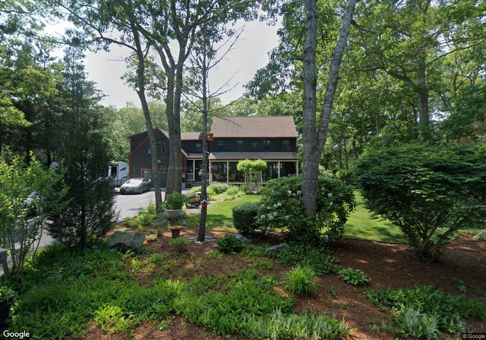
32 Hillside Dr Plymouth, MA 02360
Estimated Value: $601,000 - $697,000
3
Beds
2
Baths
2,144
Sq Ft
$304/Sq Ft
Est. Value
About This Home
This home is located at 32 Hillside Dr, Plymouth, MA 02360 and is currently estimated at $650,975, approximately $303 per square foot. 32 Hillside Dr is a home located in Plymouth County with nearby schools including Indian Brook, Plymouth South Middle School, and Plymouth South High School.
Ownership History
Date
Name
Owned For
Owner Type
Purchase Details
Closed on
Mar 11, 1993
Sold by
Burke Patrick J and Burke Cheryl A
Bought by
Mcgowan Mark C and Mcgowan Theresa L
Current Estimated Value
Home Financials for this Owner
Home Financials are based on the most recent Mortgage that was taken out on this home.
Original Mortgage
$102,600
Interest Rate
7.8%
Mortgage Type
Purchase Money Mortgage
Create a Home Valuation Report for This Property
The Home Valuation Report is an in-depth analysis detailing your home's value as well as a comparison with similar homes in the area
Home Values in the Area
Average Home Value in this Area
Purchase History
| Date | Buyer | Sale Price | Title Company |
|---|---|---|---|
| Mcgowan Mark C | $108,000 | -- |
Source: Public Records
Mortgage History
| Date | Status | Borrower | Loan Amount |
|---|---|---|---|
| Open | Mcgowan Mark C | $148,740 | |
| Closed | Mcgowan Mark C | $102,600 |
Source: Public Records
Tax History Compared to Growth
Tax History
| Year | Tax Paid | Tax Assessment Tax Assessment Total Assessment is a certain percentage of the fair market value that is determined by local assessors to be the total taxable value of land and additions on the property. | Land | Improvement |
|---|---|---|---|---|
| 2025 | $6,900 | $543,700 | $195,500 | $348,200 |
| 2024 | $6,739 | $523,600 | $177,900 | $345,700 |
| 2023 | $6,499 | $474,000 | $161,300 | $312,700 |
| 2022 | $5,942 | $385,100 | $152,100 | $233,000 |
| 2021 | $5,779 | $357,600 | $152,100 | $205,500 |
| 2020 | $5,588 | $341,800 | $138,300 | $203,500 |
| 2019 | $5,503 | $332,700 | $129,100 | $203,600 |
| 2018 | $5,354 | $325,300 | $119,900 | $205,400 |
| 2017 | $5,120 | $308,800 | $119,900 | $188,900 |
| 2016 | $4,899 | $301,100 | $110,600 | $190,500 |
| 2015 | $4,634 | $298,200 | $106,000 | $192,200 |
| 2014 | $4,326 | $285,900 | $106,000 | $179,900 |
Source: Public Records
Map
Nearby Homes
- 107 Shore Dr
- 5 Trask Rd
- 12 Mayflower Dr
- 32 Shore Dr
- 35 Trask Rd
- 43 Pond View Cir
- 26 Goelette Dr
- 11 Ellisville Dr
- 30 Nautical Way
- 47 Pleasant Harbour Rd
- 35 Nautical Way
- 68 Ellisville Dr
- 9 Kingston Rd
- 451 Ship Pond Rd
- 475 Ship Pond Rd
- 40 Drum Dr Unit 40
- 24 Drum Dr Unit 24
- 3 Hiawatha Rd
- 91 Miter Dr Unit 18-1
- 91 Miter Dr Unit 16-1