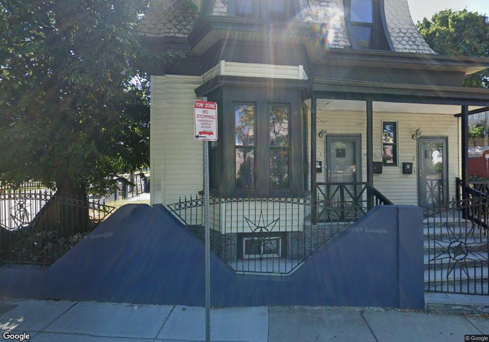
32 Howard Ave Dorchester, MA 02125
Dudley-Brunswick King NeighborhoodEstimated Value: $706,122 - $878,000
4
Beds
2
Baths
2,676
Sq Ft
$298/Sq Ft
Est. Value
About This Home
This home is located at 32 Howard Ave, Dorchester, MA 02125 and is currently estimated at $798,281, approximately $298 per square foot. 32 Howard Ave is a home located in Suffolk County with nearby schools including Dudley Street Neighborhood Charter School and Uncommon Schools Roxbury Prep Dorchester Campus.
Ownership History
Date
Name
Owned For
Owner Type
Purchase Details
Closed on
Feb 1, 2005
Sold by
Springer Joycelin and Springer Simeon
Bought by
Jones Fidel
Current Estimated Value
Home Financials for this Owner
Home Financials are based on the most recent Mortgage that was taken out on this home.
Original Mortgage
$322,000
Outstanding Balance
$162,806
Interest Rate
5.67%
Mortgage Type
Purchase Money Mortgage
Estimated Equity
$635,475
Create a Home Valuation Report for This Property
The Home Valuation Report is an in-depth analysis detailing your home's value as well as a comparison with similar homes in the area
Home Values in the Area
Average Home Value in this Area
Purchase History
| Date | Buyer | Sale Price | Title Company |
|---|---|---|---|
| Jones Fidel | $402,500 | -- |
Source: Public Records
Mortgage History
| Date | Status | Borrower | Loan Amount |
|---|---|---|---|
| Open | Jones Fidel | $322,000 |
Source: Public Records
Tax History Compared to Growth
Tax History
| Year | Tax Paid | Tax Assessment Tax Assessment Total Assessment is a certain percentage of the fair market value that is determined by local assessors to be the total taxable value of land and additions on the property. | Land | Improvement |
|---|---|---|---|---|
| 2025 | $6,913 | $597,000 | $198,600 | $398,400 |
| 2024 | $6,363 | $583,800 | $175,400 | $408,400 |
| 2023 | $5,860 | $545,600 | $163,900 | $381,700 |
| 2022 | $5,302 | $487,300 | $146,400 | $340,900 |
| 2021 | $4,859 | $455,400 | $136,800 | $318,600 |
| 2020 | $3,761 | $356,200 | $113,500 | $242,700 |
| 2019 | $3,264 | $309,700 | $87,100 | $222,600 |
| 2018 | $2,951 | $281,600 | $87,100 | $194,500 |
| 2017 | $2,895 | $273,400 | $87,100 | $186,300 |
| 2016 | $3,007 | $273,400 | $87,100 | $186,300 |
| 2015 | $3,311 | $273,400 | $87,700 | $185,700 |
| 2014 | $3,212 | $255,300 | $87,700 | $167,600 |
Source: Public Records
Map
Nearby Homes
- 29 Woodford St Unit 1
- 53 Woodford St
- 38 Woodford St
- 21 Dean St
- 45 Brookford St
- 91 Howard Ave
- 36 Brookford St
- 18 Sargent St Unit B
- 163 Howard Ave
- 29 E Cottage St
- 706-714 Dudley St
- 102-104 Robey St
- 42 Monadnock St
- 79 W Cottage St
- 130 Howard Ave
- 35 Dewey St Unit 35
- 8 Adrian St
- 25 Hillsboro St Unit 1
- 31 Dewey St
- 10 Wendover St
- 32 Howard Ave
- 32 Howard Ave Unit 2
- 32 Howard Ave Unit 1
- 18 Harlow St
- 38 Howard Ave
- 14 Harlow St
- 14 Harlow St Unit 3
- 14 Harlow St Unit 2
- 32 Harlow St
- 12 Harlow St
- 17 Woodward Park St
- 23 Woodward Park St
- 10 Harlow St Unit 2
- 10 Harlow St
- 10 Harlow St Unit 1
- 15 Howard Ave Unit 3
- 15 Howard Ave Unit 4
- 15 Howard Ave Unit 2
- 15 Howard Ave Unit 1
- 36 Harlow St