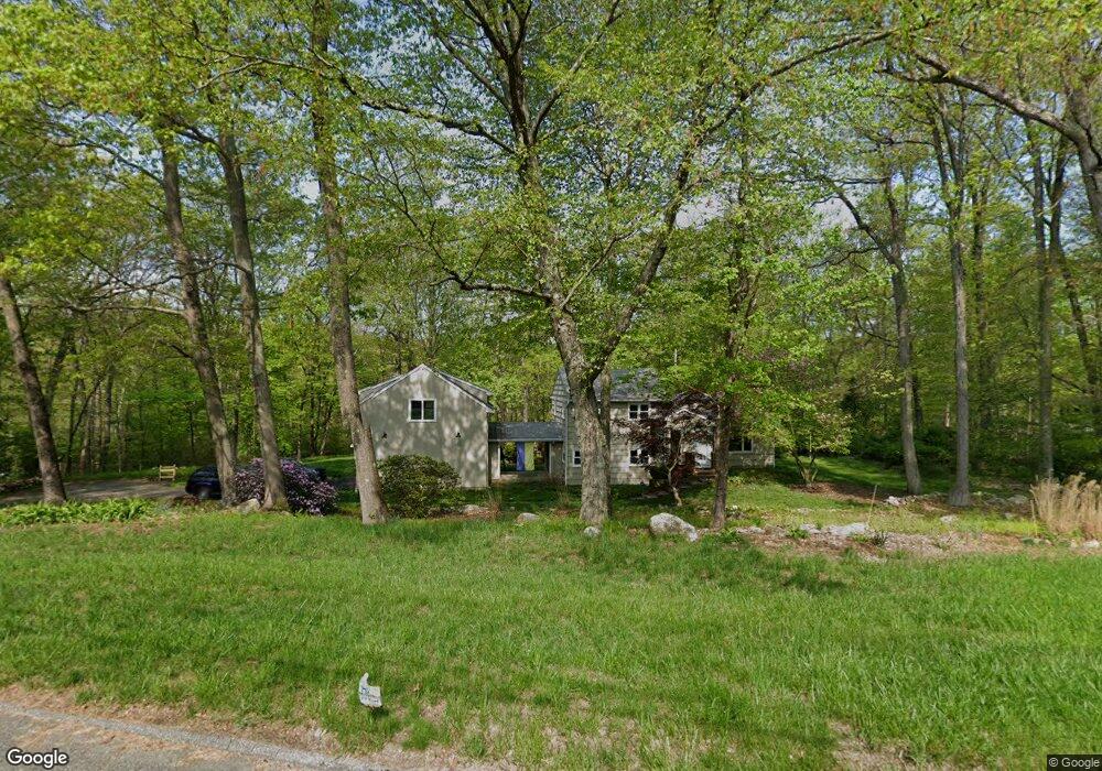
32 Jackson Dr Trumbull, CT 06611
Daniel Farm District NeighborhoodEstimated Value: $623,615 - $661,000
About This Home
This home is located at 32 Jackson Dr, Trumbull, CT 06611 and is currently estimated at $645,154, approximately $407 per square foot. 32 Jackson Dr is a home located in Fairfield County with nearby schools including Daniels Farm School, Hillcrest Middle School, and Trumbull High School.
Ownership History
We collect this data history from publicly available records. To have your information removed, we recommend requesting removal directly through your county’s website.
Purchase Details
Purchase Details
Home Values in the Area
Average Home Value in this Area
Purchase History
We collect this data history from publicly available records. To have your information removed, we recommend requesting removal directly through your county’s website.
| Date | Buyer | Sale Price | Title Company |
|---|---|---|---|
| $230,000 | -- | ||
| $208,000 | -- |
Mortgage History
We collect this data history from publicly available records. To have your information removed, we recommend requesting removal directly through your county’s website.
| Date | Status | Borrower | Loan Amount |
|---|---|---|---|
| Open | $261,500 | ||
| Closed | $287,000 | ||
| Closed | $240,000 |
Tax History
We collect this data history from publicly available records. To have your information removed, we recommend requesting removal directly through your county’s website.
| Year | Tax Paid | Tax Assessment Tax Assessment Total Assessment is a certain percentage of the fair market value that is determined by local assessors to be the total taxable value of land and additions on the property. | Land | Improvement |
|---|---|---|---|---|
| 2025 | $10,823 | $293,160 | $160,930 | $132,230 |
| 2024 | $10,527 | $293,160 | $160,930 | $132,230 |
| 2023 | $10,357 | $293,160 | $160,930 | $132,230 |
| 2022 | $10,233 | $294,350 | $160,930 | $133,420 |
| 2021 | $9,951 | $272,300 | $146,790 | $125,510 |
| 2020 | $9,762 | $272,300 | $146,790 | $125,510 |
| 2018 | $9,521 | $272,300 | $146,790 | $125,510 |
| 2017 | $9,329 | $272,300 | $146,790 | $125,510 |
| 2016 | $9,141 | $272,300 | $146,790 | $125,510 |
| 2015 | $8,466 | $249,300 | $149,500 | $99,800 |
| 2014 | $8,284 | $249,300 | $149,500 | $99,800 |
Map
- 355 Spring Hill Rd
- 110 Porters Hill Rd
- 36 Bunker Hill Dr
- 89 Cranbury Dr
- 20 Whitefield Dr
- 339 Spring Hill Rd
- 9 Academy Rd
- 110 Moose Hill Rd
- 33 Shawnee Ln
- 277 Spring Hill Rd
- 56 Oak Wood Dr
- 69 Forest Rd
- 1209 Daniels Farm Rd
- 121 Lewis Rd
- 17 Woodlawn Rd
- 73 Fawn Hill Rd
- 602 Woodland Hills Dr Unit 602
- 37 Country Ridge Dr
- 176 Cutlers Farm Rd
- 46 Doris Dr
Ask me questions while you tour the home.