32 Jbs Way Wiscasset, ME 04578
Estimated Value: $768,313 - $1,059,000
3
Beds
3
Baths
2,170
Sq Ft
$413/Sq Ft
Est. Value
About This Home
This home is located at 32 Jbs Way, Wiscasset, ME 04578 and is currently estimated at $895,828, approximately $412 per square foot. 32 Jbs Way is a home with nearby schools including Wiscasset Christian Academy.
Ownership History
Date
Name
Owned For
Owner Type
Purchase Details
Closed on
Jun 29, 2011
Sold by
Bailey John E
Bought by
Bryant Thomas E and Bryant Kathleen M
Current Estimated Value
Home Financials for this Owner
Home Financials are based on the most recent Mortgage that was taken out on this home.
Original Mortgage
$280,000
Outstanding Balance
$193,629
Interest Rate
4.62%
Mortgage Type
Purchase Money Mortgage
Estimated Equity
$702,199
Create a Home Valuation Report for This Property
The Home Valuation Report is an in-depth analysis detailing your home's value as well as a comparison with similar homes in the area
Home Values in the Area
Average Home Value in this Area
Purchase History
| Date | Buyer | Sale Price | Title Company |
|---|---|---|---|
| Bryant Thomas E | $350,000 | -- |
Source: Public Records
Mortgage History
| Date | Status | Borrower | Loan Amount |
|---|---|---|---|
| Open | Bryant Thomas E | $280,000 |
Source: Public Records
Tax History Compared to Growth
Tax History
| Year | Tax Paid | Tax Assessment Tax Assessment Total Assessment is a certain percentage of the fair market value that is determined by local assessors to be the total taxable value of land and additions on the property. | Land | Improvement |
|---|---|---|---|---|
| 2024 | $9,441 | $531,300 | $62,600 | $468,700 |
| 2023 | $9,059 | $531,300 | $62,600 | $468,700 |
| 2022 | $8,534 | $425,000 | $50,100 | $374,900 |
| 2021 | $8,551 | $425,000 | $50,100 | $374,900 |
| 2020 | $8,551 | $425,000 | $50,100 | $374,900 |
| 2019 | $8,458 | $425,000 | $50,100 | $374,900 |
| 2018 | $8,309 | $425,000 | $50,100 | $374,900 |
| 2017 | $9,346 | $498,200 | $50,100 | $448,100 |
| 2016 | $9,321 | $498,200 | $50,100 | $448,100 |
| 2015 | $8,170 | $498,200 | $50,100 | $448,100 |
| 2014 | $8,430 | $495,900 | $50,100 | $445,800 |
| 2013 | $5,662 | $349,500 | $50,100 | $299,400 |
Source: Public Records
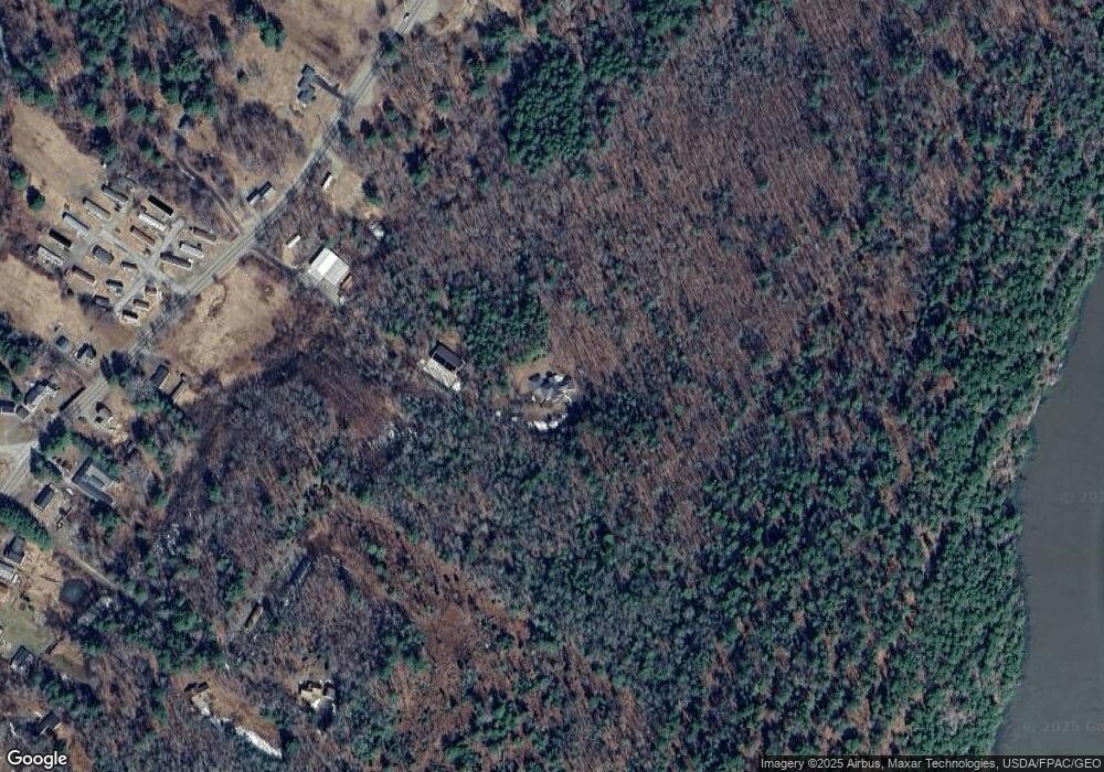
Map
Nearby Homes
- 285 Birch Point Rd Unit 11
- 91 Lord Rd
- 40 Old Bath Rd
- 2 Ready Point Rd
- 114 Fort Rd
- 83 Bath Rd
- 18 High St
- 200 Main St
- 27 Doggett Rd
- 18 Churchill St
- 67 Village Way Unit 505
- 304 Eddy Rd Unit 216
- 17 Lester Rd
- 306 Eddy Rd Unit 310
- 306 Eddy Rd Unit 307
- 306 Eddy Rd Unit 309
- 11 Island Ln Unit 1
- 22 Sand Hill Rd
- 52 Eddy Rd
- 12 Micmac Dr
- 0 Pine Needle Dr Unit 1148920
- 0 Pine Needle Dr Unit 1270867
- 0 Pine Needle Dr Unit 1366874
- 0 Pine Needle Dr Unit 1443148
- 255 Birch Point Rd
- 267 Birch Point Rd
- 0 Lot 26 4a Spruce Unit 1452192
- 308 Birch Point Rd
- 32 Pine Needle Dr
- 288 Birch Point Rd
- 269 Birch Point Rd Unit 41A
- 294 Birch Point Rd
- 21 Pine Needle Dr
- 300 Birch Point Rd
- 239 Birch Point Rd
- 285 Birch Point Lot#15 Unit 15
- 285 Birch Point Rd Unit 7
- 285 Birch Point Rd Unit 2
- 285 Birch Point Rd
- 291 Birch Point Rd