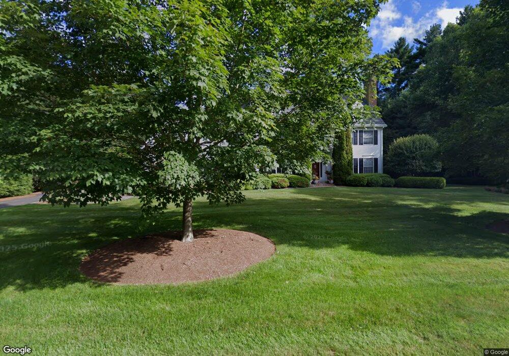
32 Joshua Dr West Simsbury, CT 06092
Estimated Value: $896,000 - $1,105,000
5
Beds
6
Baths
4,960
Sq Ft
$203/Sq Ft
Est. Value
About This Home
This home is located at 32 Joshua Dr, West Simsbury, CT 06092 and is currently estimated at $1,006,004, approximately $202 per square foot. 32 Joshua Dr is a home located in Hartford County with nearby schools including Squadron Line School, Henry James Memorial School, and Simsbury High School.
Ownership History
Date
Name
Owned For
Owner Type
Purchase Details
Closed on
Sep 13, 1996
Sold by
Maglieri Gregory
Bought by
Reilly David and Reilly Louise
Current Estimated Value
Home Financials for this Owner
Home Financials are based on the most recent Mortgage that was taken out on this home.
Original Mortgage
$190,000
Interest Rate
7.75%
Mortgage Type
Unknown
Create a Home Valuation Report for This Property
The Home Valuation Report is an in-depth analysis detailing your home's value as well as a comparison with similar homes in the area
Home Values in the Area
Average Home Value in this Area
Purchase History
| Date | Buyer | Sale Price | Title Company |
|---|---|---|---|
| Reilly David | $555,000 | -- |
Source: Public Records
Mortgage History
| Date | Status | Borrower | Loan Amount |
|---|---|---|---|
| Closed | Reilly David | $185,750 | |
| Closed | Reilly David | $192,000 | |
| Closed | Reilly David | $190,000 |
Source: Public Records
Tax History Compared to Growth
Tax History
| Year | Tax Paid | Tax Assessment Tax Assessment Total Assessment is a certain percentage of the fair market value that is determined by local assessors to be the total taxable value of land and additions on the property. | Land | Improvement |
|---|---|---|---|---|
| 2025 | $23,446 | $686,350 | $119,280 | $567,070 |
| 2024 | $22,725 | $682,220 | $119,280 | $562,940 |
| 2023 | $21,038 | $661,150 | $119,280 | $541,870 |
| 2022 | $19,286 | $499,240 | $126,290 | $372,950 |
| 2021 | $19,286 | $499,240 | $126,290 | $372,950 |
| 2020 | $18,517 | $499,240 | $126,290 | $372,950 |
| 2019 | $18,632 | $499,240 | $126,290 | $372,950 |
| 2018 | $18,766 | $499,240 | $126,290 | $372,950 |
| 2017 | $20,849 | $537,900 | $147,300 | $390,600 |
| 2016 | $19,967 | $537,900 | $147,300 | $390,600 |
| 2015 | $19,967 | $537,900 | $147,300 | $390,600 |
| 2014 | $19,978 | $537,900 | $147,300 | $390,600 |
Source: Public Records
Map
Nearby Homes
- 247 Old Farms Rd
- 5 Fox Den Rd
- 18 Meadowlark Rd
- 324 Firetown Rd
- 537 Cherry Brook Rd
- 141 Firetown Rd
- 25 Barry Ln
- 9 Gretel Ln
- 35 Rustle Meadow Ln
- 21 Christmas Tree Hill
- 143 N Mountain Rd
- 40 Firetown Rd Unit 39
- 10 Sachems Trail
- 16 Stratton Forest Way
- 8 Quorn Hunt Rd
- 26 Winterset Ln
- 27 Ridge Rd
- 2 North Dr
- 391 Cherry Brook Rd
- 48 Library Ln Unit 48