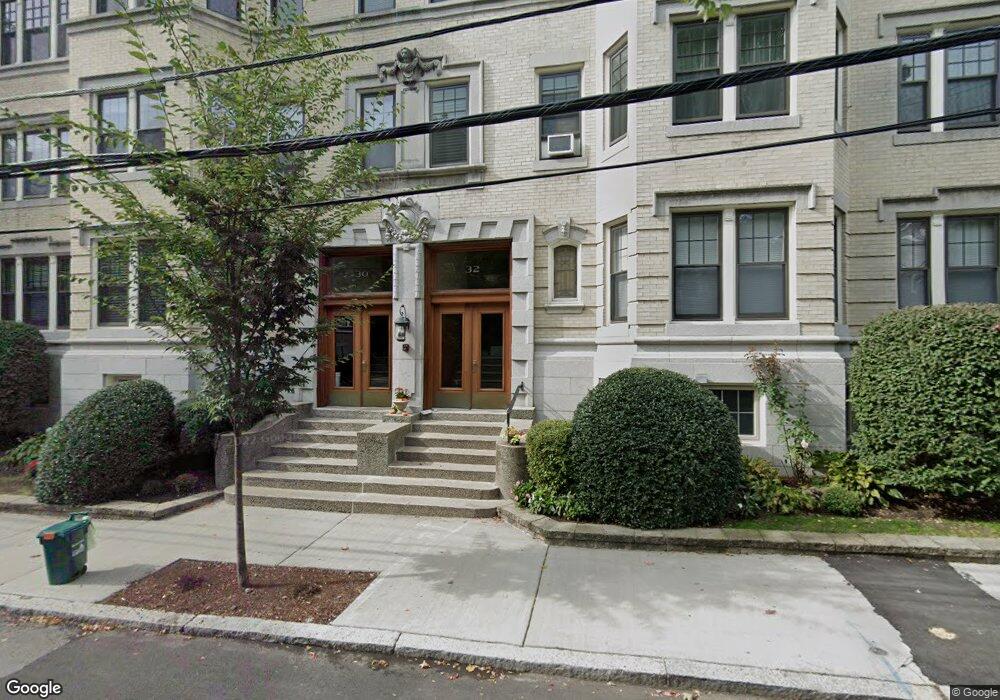
32 Kilsyth Rd Unit 3 Brookline, MA 02445
Cleveland Circle NeighborhoodEstimated Value: $1,511,224 - $1,761,000
3
Beds
2
Baths
2,107
Sq Ft
$751/Sq Ft
Est. Value
About This Home
This home is located at 32 Kilsyth Rd Unit 3, Brookline, MA 02445 and is currently estimated at $1,581,306, approximately $750 per square foot. 32 Kilsyth Rd Unit 3 is a home located in Norfolk County with nearby schools including John D. Runkle School, Torah Academy, and Shaloh House Jewish Day School.
Ownership History
Date
Name
Owned For
Owner Type
Purchase Details
Closed on
Nov 20, 1997
Sold by
32-3 Kilsyth Rd T
Bought by
Sidlo John R and Sidlo Bette
Current Estimated Value
Home Financials for this Owner
Home Financials are based on the most recent Mortgage that was taken out on this home.
Original Mortgage
$220,000
Outstanding Balance
$35,755
Interest Rate
7.17%
Mortgage Type
Purchase Money Mortgage
Estimated Equity
$1,545,551
Create a Home Valuation Report for This Property
The Home Valuation Report is an in-depth analysis detailing your home's value as well as a comparison with similar homes in the area
Home Values in the Area
Average Home Value in this Area
Purchase History
| Date | Buyer | Sale Price | Title Company |
|---|---|---|---|
| Sidlo John R | $349,000 | -- |
Source: Public Records
Mortgage History
| Date | Status | Borrower | Loan Amount |
|---|---|---|---|
| Open | Sidlo John R | $220,000 |
Source: Public Records
Tax History Compared to Growth
Tax History
| Year | Tax Paid | Tax Assessment Tax Assessment Total Assessment is a certain percentage of the fair market value that is determined by local assessors to be the total taxable value of land and additions on the property. | Land | Improvement |
|---|---|---|---|---|
| 2025 | $13,204 | $1,337,800 | $0 | $1,337,800 |
| 2024 | $12,814 | $1,311,600 | $0 | $1,311,600 |
| 2023 | $13,399 | $1,343,900 | $0 | $1,343,900 |
| 2022 | $13,426 | $1,317,600 | $0 | $1,317,600 |
| 2021 | $12,785 | $1,304,600 | $0 | $1,304,600 |
| 2020 | $12,207 | $1,291,700 | $0 | $1,291,700 |
| 2019 | $11,527 | $1,230,200 | $0 | $1,230,200 |
| 2018 | $10,231 | $1,081,500 | $0 | $1,081,500 |
| 2017 | $9,894 | $1,001,400 | $0 | $1,001,400 |
| 2016 | $9,485 | $910,300 | $0 | $910,300 |
| 2015 | $8,839 | $827,600 | $0 | $827,600 |
| 2014 | $8,587 | $753,900 | $0 | $753,900 |
Source: Public Records
Map
Nearby Homes
- 3 Englewood Ave Unit 9
- 37 Englewood Ave Unit 3
- 15 Colliston Rd Unit 6
- 1856 Beacon St Unit 2C
- 1778 Beacon St Unit 302
- 140 Kilsyth Rd Unit 8
- 47 Englewood Ave
- 36 Cummings Rd Unit 1
- 1880 Beacon St Unit 6
- 1763 Beacon St Unit A
- 8 Strathmore Rd Unit G
- 17 Strathmore Rd Unit 2
- 24 Selkirk Rd Unit 24-4
- 65 Strathmore Rd Unit 49
- 1666 Commonwealth Ave Unit 24
- 19-21 Orkney Rd
- 1650 Commonwealth Ave Unit 304
- 141 Beaconsfield Rd Unit 6
- 1731 Beacon St Unit 717
- 1731 Beacon St Unit 1502
- 32 Kilsyth Rd Unit 2
- 32 Kilsyth Rd
- 32 Kilsyth Rd
- 30 Kilsyth Rd Unit B1
- 30 Kilsyth Rd Unit 33
- 30 Kilsyth Rd Unit 32
- 30 Kilsyth Rd Unit 31
- 30 Kilsyth Rd Unit 23
- 30 Kilsyth Rd Unit 22
- 30 Kilsyth Rd Unit 21
- 30 Kilsyth Rd Unit 2
- 30 Kilsyth Rd Unit 1
- 30 Kilsyth Rd
- 30 Kilsyth Rd Unit U
- 36 Kilsyth Rd Unit 3
- 36 Kilsyth Rd Unit 2
- 36 Kilsyth Rd Unit 1
- 36 Kilsyth Rd Unit U
- 34 Kilsyth Rd Unit 3
- 34 Kilsyth Rd Unit 2