Estimated Value: $234,000 - $276,000
3
Beds
2
Baths
1,523
Sq Ft
$162/Sq Ft
Est. Value
About This Home
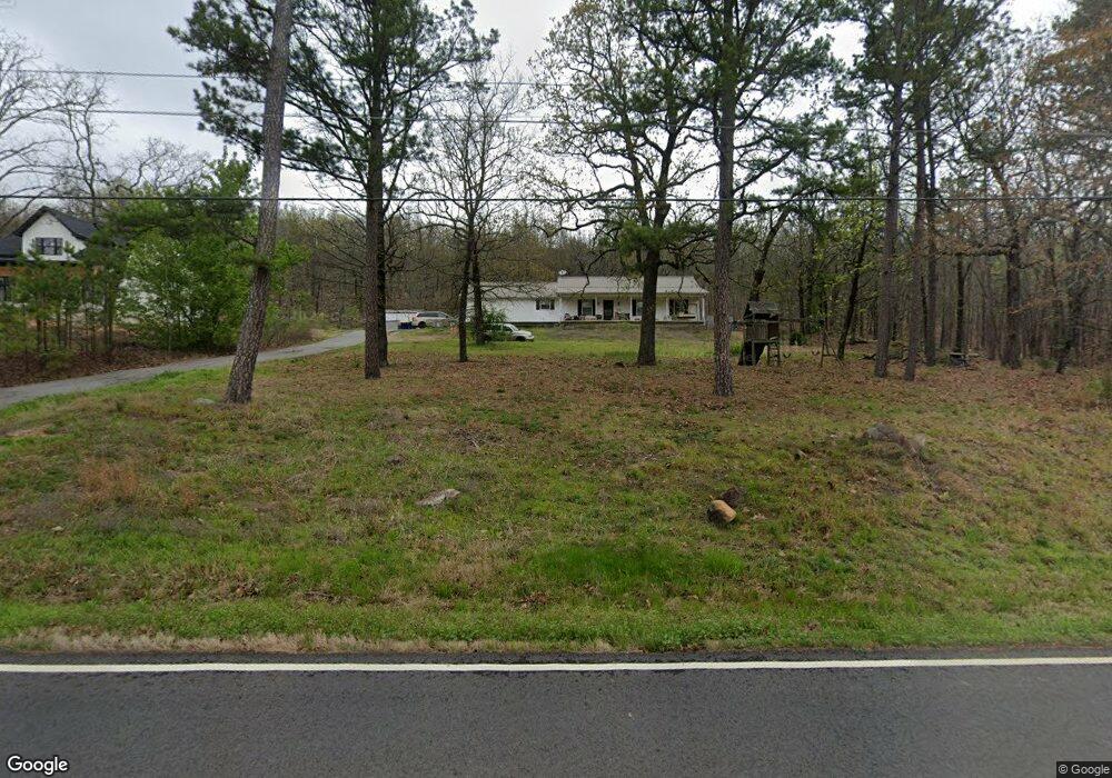
This home is located at 32 Kirkland Dr, Cabot, AR 72023 and is currently estimated at $246,793, approximately $162 per square foot. 32 Kirkland Dr is a home located in Lonoke County with nearby schools including Magness Creek Elementary School, Cabot Junior High North, and Cabot Middle School North.
Ownership History
Date
Name
Owned For
Owner Type
Purchase Details
Closed on
Jun 27, 2014
Sold by
John John and Poole Kathleen
Bought by
Blankenship Donald
Current Estimated Value
Home Financials for this Owner
Home Financials are based on the most recent Mortgage that was taken out on this home.
Original Mortgage
$147,000
Outstanding Balance
$111,727
Interest Rate
4.18%
Mortgage Type
Purchase Money Mortgage
Estimated Equity
$135,066
Purchase Details
Closed on
Aug 11, 1997
Bought by
Poole
Purchase Details
Closed on
Dec 6, 1995
Bought by
Poole
Create a Home Valuation Report for This Property
The Home Valuation Report is an in-depth analysis detailing your home's value as well as a comparison with similar homes in the area
Home Values in the Area
Average Home Value in this Area
Purchase History
| Date | Buyer | Sale Price | Title Company |
|---|---|---|---|
| Blankenship Donald | -- | -- | |
| Poole | -- | -- | |
| Poole | $9,000 | -- | |
| Poole | $9,000 | -- |
Source: Public Records
Mortgage History
| Date | Status | Borrower | Loan Amount |
|---|---|---|---|
| Open | Blankenship Donald | $147,000 |
Source: Public Records
Tax History Compared to Growth
Tax History
| Year | Tax Paid | Tax Assessment Tax Assessment Total Assessment is a certain percentage of the fair market value that is determined by local assessors to be the total taxable value of land and additions on the property. | Land | Improvement |
|---|---|---|---|---|
| 2025 | $942 | $26,860 | $3,300 | $23,560 |
| 2024 | $942 | $26,860 | $3,300 | $23,560 |
| 2023 | $942 | $26,860 | $3,300 | $23,560 |
| 2022 | $992 | $26,860 | $3,300 | $23,560 |
| 2021 | $934 | $26,860 | $3,300 | $23,560 |
| 2020 | $872 | $24,490 | $3,300 | $21,190 |
| 2019 | $872 | $24,490 | $3,300 | $21,190 |
| 2018 | $860 | $24,490 | $3,300 | $21,190 |
| 2017 | $1,040 | $24,490 | $3,300 | $21,190 |
| 2016 | $769 | $24,490 | $3,300 | $21,190 |
| 2015 | $716 | $0 | $0 | $0 |
| 2014 | $716 | $21,580 | $3,300 | $18,280 |
Source: Public Records
Map
Nearby Homes
- 34 Kirkland Dr
- 29 Kirkland Dr
- 00 Spring Valley Rd
- 37 Greystone Blvd
- 43 Greystone Blvd
- 17 Turnberry Dr
- 00 Memory Ln
- 0 Lakeland Dr Unit 24035574
- 78 Greystone Blvd
- 2427 Pride Gap Rd
- 15 Hickory Bend Cir
- 37 Lakeland Dr
- 212 North Heights
- 250 N Heights
- 32 Shurley Ln
- 16 Rolling Hills Dr
- 21 Clearwater Ln
- 18 Emma Dr
- 54 Shurley Ln
- 17 Emma Dr
- 0 Kirkland Dr
- 28 Kirkland Dr
- 55 E Earlene Cove
- Lot 59 Kirkland Dr
- 36 Kirkland Dr
- 35 Kirkland Dr
- 38 Kirkland Dr
- 26 Kirkland Dr
- 37 Kirkland Dr
- 59 Kirkland Dr
- 40 Kirkland Dr
- 39 Kirkland Dr
- 24 Kirkland Dr
- 27 Kirkland Dr
- 41 Kirkland Dr
- 42 Kirkland Dr
- 235 E Earlene Cove
- 592 Spring Valley Rd
- 632 Spring Valley Rd
- 570 Spring Valley Rd