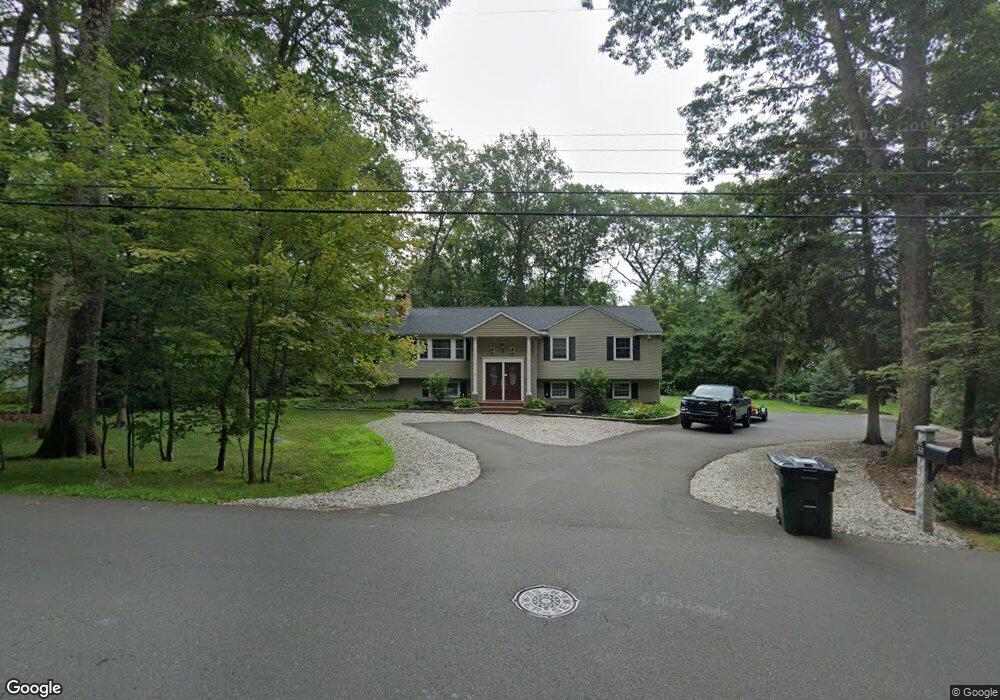
32 Laurel Ln Simsbury, CT 06070
Estimated Value: $466,000 - $533,649
3
Beds
3
Baths
1,682
Sq Ft
$298/Sq Ft
Est. Value
About This Home
This home is located at 32 Laurel Ln, Simsbury, CT 06070 and is currently estimated at $501,162, approximately $297 per square foot. 32 Laurel Ln is a home located in Hartford County with nearby schools including Squadron Line School, Henry James Memorial School, and Simsbury High School.
Ownership History
Date
Name
Owned For
Owner Type
Purchase Details
Closed on
Dec 21, 2004
Sold by
Mocerino Joseph V and Mocerino Wendy S
Bought by
Kuczorski Tomasz and Kuczorski Rita
Current Estimated Value
Home Financials for this Owner
Home Financials are based on the most recent Mortgage that was taken out on this home.
Original Mortgage
$207,000
Interest Rate
5.68%
Purchase Details
Closed on
Jun 13, 2003
Sold by
Stenquist Bruce C and Stenquist-Diemer Monique
Bought by
Mocerino Joseph and Mocerino Wendy S
Create a Home Valuation Report for This Property
The Home Valuation Report is an in-depth analysis detailing your home's value as well as a comparison with similar homes in the area
Home Values in the Area
Average Home Value in this Area
Purchase History
| Date | Buyer | Sale Price | Title Company |
|---|---|---|---|
| Kuczorski Tomasz | $295,000 | -- | |
| Mocerino Joseph | $275,000 | -- |
Source: Public Records
Mortgage History
| Date | Status | Borrower | Loan Amount |
|---|---|---|---|
| Open | Mocerino Joseph | $190,789 | |
| Closed | Mocerino Joseph | $189,000 | |
| Closed | Mocerino Joseph | $207,000 |
Source: Public Records
Tax History Compared to Growth
Tax History
| Year | Tax Paid | Tax Assessment Tax Assessment Total Assessment is a certain percentage of the fair market value that is determined by local assessors to be the total taxable value of land and additions on the property. | Land | Improvement |
|---|---|---|---|---|
| 2025 | $8,498 | $248,780 | $78,890 | $169,890 |
| 2024 | $8,287 | $248,780 | $78,890 | $169,890 |
| 2023 | $7,916 | $248,780 | $78,890 | $169,890 |
| 2022 | $7,900 | $204,500 | $85,750 | $118,750 |
| 2021 | $7,900 | $204,500 | $85,750 | $118,750 |
| 2020 | $7,585 | $204,500 | $85,750 | $118,750 |
| 2019 | $7,632 | $204,500 | $85,750 | $118,750 |
| 2018 | $7,687 | $204,500 | $85,750 | $118,750 |
| 2017 | $7,245 | $186,910 | $83,560 | $103,350 |
| 2016 | $6,938 | $186,910 | $83,560 | $103,350 |
| 2015 | $6,938 | $186,910 | $83,560 | $103,350 |
| 2014 | $6,942 | $186,910 | $83,560 | $103,350 |
Source: Public Records
Map
Nearby Homes
- 324 Firetown Rd
- 25 Barry Ln
- 9 Gretel Ln
- 26 Winterset Ln
- 247 Old Farms Rd
- 2 North Dr
- 40 Firetown Rd Unit 39
- 45 Hoskins Rd
- 48 Library Ln Unit 48
- 87 Cambridge Ct
- 69 Cambridge Ct
- 18 Meadowlark Rd
- 16 Stratton Forest Way
- 19 Simsbury Landing
- 14 Gordon St
- 3 Stebbins Brook Ln
- 4 Stebbins Brook Ln
- 5 Washington Dr
- 14 Brettonwood Dr
- 15 Pinnacle Mountain Rd