Estimated Value: $99,000 - $227,000
--
Bed
1
Bath
1,056
Sq Ft
$133/Sq Ft
Est. Value
About This Home
This home is located at 32 Linda Ln, Jesup, GA 31545 and is currently estimated at $139,947, approximately $132 per square foot. 32 Linda Ln is a home located in Wayne County with nearby schools including Martha Rawls Smith Elementary School, Arthur Williams Middle School, and Wayne County High School.
Ownership History
Date
Name
Owned For
Owner Type
Purchase Details
Closed on
Sep 5, 2014
Sold by
Aldridge Diane C
Bought by
Jones Quincy D and Jones Alasia C
Current Estimated Value
Purchase Details
Closed on
Aug 12, 2014
Sold by
Clark Terry L
Bought by
Wood Amanda Jane
Purchase Details
Closed on
Jan 31, 2014
Sold by
Aldridge Diane
Bought by
Clark Bonita
Purchase Details
Closed on
Mar 6, 2012
Sold by
Clark J L
Bought by
Jones Quincy D
Create a Home Valuation Report for This Property
The Home Valuation Report is an in-depth analysis detailing your home's value as well as a comparison with similar homes in the area
Home Values in the Area
Average Home Value in this Area
Purchase History
| Date | Buyer | Sale Price | Title Company |
|---|---|---|---|
| Jones Quincy D | $7,000 | -- | |
| Wood Amanda Jane | -- | -- | |
| Clark Bonita | -- | -- | |
| Clark Terry L | -- | -- | |
| Jones Quincy D | $14,000 | -- |
Source: Public Records
Tax History Compared to Growth
Tax History
| Year | Tax Paid | Tax Assessment Tax Assessment Total Assessment is a certain percentage of the fair market value that is determined by local assessors to be the total taxable value of land and additions on the property. | Land | Improvement |
|---|---|---|---|---|
| 2024 | $335 | $32,419 | $8,000 | $24,419 |
| 2023 | $779 | $25,958 | $4,316 | $21,642 |
| 2022 | $187 | $17,536 | $4,316 | $13,220 |
| 2021 | $204 | $17,536 | $4,316 | $13,220 |
| 2020 | $243 | $19,364 | $6,144 | $13,220 |
| 2019 | $516 | $19,364 | $6,144 | $13,220 |
| 2018 | $516 | $19,364 | $6,144 | $13,220 |
| 2017 | $444 | $19,364 | $6,144 | $13,220 |
| 2016 | $430 | $19,364 | $6,144 | $13,220 |
| 2014 | $291 | $29,448 | $16,228 | $13,220 |
| 2013 | -- | $29,447 | $16,227 | $13,220 |
Source: Public Records
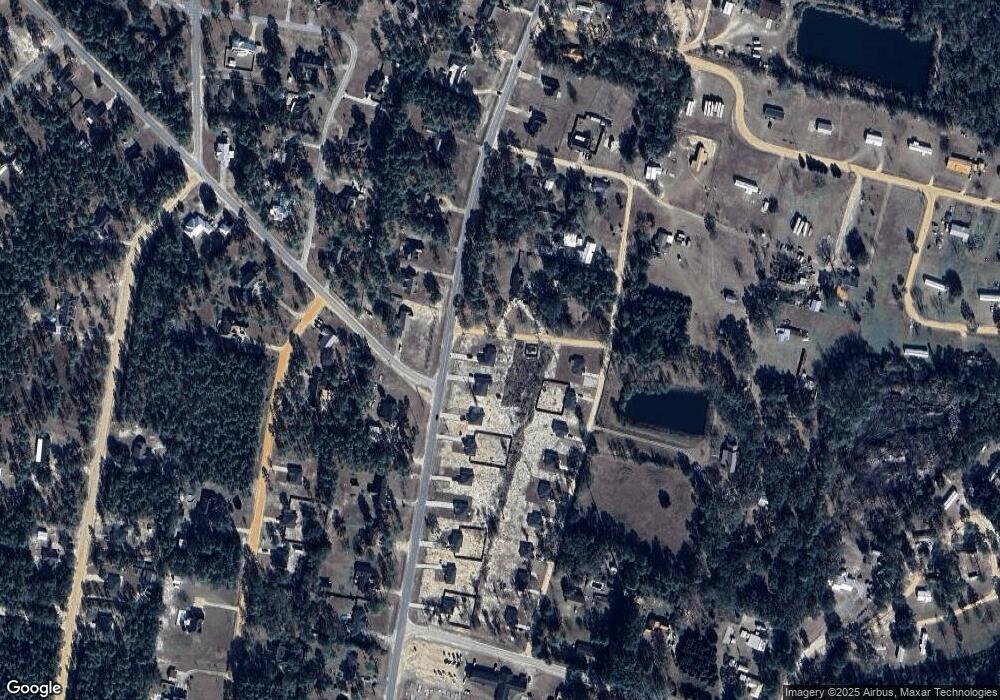
Map
Nearby Homes
- 161 Evors Rd
- LOT 1 Linden Bluff Rd
- 50 Sangster Rd
- 0 Rayonier Rd
- 47 Yellow Pine Rd
- 290 Yellow Pine Rd
- 290 Rodman Rd
- 2636 Beechwood Dr
- 404 River Ridge Cir
- 2606 Beechwood Dr
- 391 Rodman Rd
- 1275 Rayonier Rd
- 193 W Melody Dr
- 125 Pleasant Way
- 90 Pleasant Way
- 796 River Ridge Cir
- 600 N Osceola Trace
- 131 Mill Creek Ln
- 195 Linden Dr
- 240 Pine Ridge Rd
- 32 Linda Ln
- 122 Evors Rd
- 796 Killingsworth Rd
- 115 Evors Rd
- 47 Evors Rd
- 124 Alton Dr
- 0 Evors Rd
- 750 Killingsworth Rd
- 192 Evors Rd
- 195 Evors Rd
- 900 Killingsworth Rd
- 163 Alton Dr
- 390 Alton Dr
- 21 Briarwood Rd
- 934 Killingsworth Rd
- 60 Briarwood Rd
- 964 Killingsworth Rd
- 65 Willie Ln
- 265 Briarwood Rd
- 210 Briarwood Rd