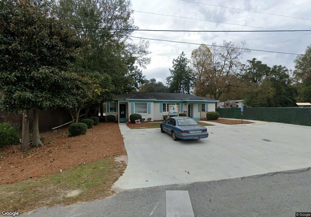
32 Lindberg St Statesboro, GA 30458
Estimated Value: $226,963
--
Bed
--
Bath
1,520
Sq Ft
$149/Sq Ft
Est. Value
About This Home
This home is located at 32 Lindberg St, Statesboro, GA 30458 and is currently estimated at $226,963, approximately $149 per square foot. 32 Lindberg St is a home located in Bulloch County with nearby schools including Statesboro High School, Sallie Zetterower Elementary School, and Langston Chapel Middle School.
Ownership History
Date
Name
Owned For
Owner Type
Purchase Details
Closed on
Aug 12, 2016
Sold by
Roderick Debra K and Roderick Randall
Bought by
Jasmyn Jamel Enterprises Llc
Current Estimated Value
Home Financials for this Owner
Home Financials are based on the most recent Mortgage that was taken out on this home.
Original Mortgage
$435,000
Outstanding Balance
$273,535
Interest Rate
3.42%
Mortgage Type
New Conventional
Estimated Equity
-$46,572
Purchase Details
Closed on
Jun 1, 1992
Bought by
Roderick Debra K and Roderick Randall
Create a Home Valuation Report for This Property
The Home Valuation Report is an in-depth analysis detailing your home's value as well as a comparison with similar homes in the area
Home Values in the Area
Average Home Value in this Area
Purchase History
| Date | Buyer | Sale Price | Title Company |
|---|---|---|---|
| Jasmyn Jamel Enterprises Llc | $105,000 | -- | |
| Roderick Debra K | -- | -- |
Source: Public Records
Mortgage History
| Date | Status | Borrower | Loan Amount |
|---|---|---|---|
| Open | Jasmyn Jamel Enterprises Llc | $435,000 |
Source: Public Records
Tax History Compared to Growth
Tax History
| Year | Tax Paid | Tax Assessment Tax Assessment Total Assessment is a certain percentage of the fair market value that is determined by local assessors to be the total taxable value of land and additions on the property. | Land | Improvement |
|---|---|---|---|---|
| 2024 | $1,654 | $60,360 | $25,080 | $35,280 |
| 2023 | $1,447 | $50,451 | $25,080 | $25,371 |
| 2022 | $991 | $50,517 | $25,080 | $25,437 |
| 2021 | $1,019 | $50,517 | $25,080 | $25,437 |
| 2020 | $1,049 | $50,572 | $25,080 | $25,492 |
| 2019 | $1,055 | $57,218 | $25,080 | $32,138 |
| 2018 | $1,100 | $57,272 | $25,080 | $32,192 |
| 2017 | $1,113 | $57,380 | $25,080 | $32,300 |
| 2016 | $1,175 | $57,380 | $25,080 | $32,300 |
| 2015 | $1,179 | $62,937 | $25,080 | $37,857 |
| 2014 | $1,083 | $62,937 | $25,080 | $37,857 |
Source: Public Records
Map
Nearby Homes
- 834 Northside Dr E
- 362 Savannah Ave
- 360 Savannah Ave
- 118 Lee St
- 342 Savannah Ave
- 203 Gentilly Rd
- 112 Stratford St
- 0 Northside Dr E Unit 10610985
- 313 Gentilly Rd
- 316 E Main St
- 227 E Main St
- 0 E Main St Unit 10464174
- 15 N Gordon St
- LOT 21 Oak Hill Dr
- 0 Green Ridge Ct Unit 40 8990863
- 313 Donaldson St
- 111 S Mulberry St
- 141 Griffith Ln
- 0 Hwy 301 Bypass and Jones Mill Rd Unit 10516580
- 0 U S 301 Unit 24576764
- 370 Northside Dr E
- 374 Northside Dr E
- 871 Northside Dr E Unit 883
- 369 Savannah Ave
- 371 Savannah Ave
- 373 Savannah Ave
- 365 Savannah Ave
- 26 Lindberg St
- 922 Northside Dr E
- 882 Northside Dr E
- 363 Savannah Ave
- 363 Savannah Ave Unit B
- 363 Savannah Ave Unit A
- 834 & 860 Northside Dr E
- 833 Northside Dr E
- 24 Lindberg St
- 840 Northside Dr E
- 838 Northside Dr E
- 842 Northside Dr E
- 361 Savannah Ave