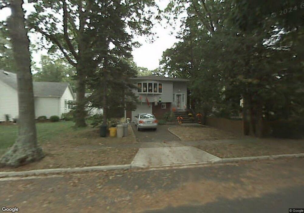
32 Linden St Massapequa, NY 11758
Estimated Value: $770,665 - $775,000
3
Beds
2
Baths
1,086
Sq Ft
$712/Sq Ft
Est. Value
About This Home
This home is located at 32 Linden St, Massapequa, NY 11758 and is currently estimated at $772,833, approximately $711 per square foot. 32 Linden St is a home located in Nassau County with nearby schools including Massapequa High School - Ames Campus, Berner Middle School, and Massapequa High School.
Ownership History
Date
Name
Owned For
Owner Type
Purchase Details
Closed on
Sep 8, 2021
Sold by
Conte Peter J
Bought by
Hendler David A S
Current Estimated Value
Purchase Details
Closed on
Sep 15, 2016
Sold by
Conte Inez
Bought by
Conte Peter J
Home Financials for this Owner
Home Financials are based on the most recent Mortgage that was taken out on this home.
Original Mortgage
$260,000
Interest Rate
3.43%
Mortgage Type
New Conventional
Create a Home Valuation Report for This Property
The Home Valuation Report is an in-depth analysis detailing your home's value as well as a comparison with similar homes in the area
Home Values in the Area
Average Home Value in this Area
Purchase History
| Date | Buyer | Sale Price | Title Company |
|---|---|---|---|
| Hendler David A S | $662,000 | Judicial Title | |
| Conte Peter J | $350,000 | South Bay Abstract |
Source: Public Records
Mortgage History
| Date | Status | Borrower | Loan Amount |
|---|---|---|---|
| Previous Owner | Conte Peter J | $260,000 |
Source: Public Records
Tax History Compared to Growth
Tax History
| Year | Tax Paid | Tax Assessment Tax Assessment Total Assessment is a certain percentage of the fair market value that is determined by local assessors to be the total taxable value of land and additions on the property. | Land | Improvement |
|---|---|---|---|---|
| 2025 | $11,397 | $400 | $135 | $265 |
| 2024 | $3,548 | $416 | $140 | $276 |
| 2023 | $11,019 | $416 | $140 | $276 |
| 2022 | $11,019 | $416 | $140 | $276 |
| 2021 | $10,677 | $440 | $148 | $292 |
| 2020 | $11,229 | $634 | $633 | $1 |
| 2019 | $3,404 | $634 | $633 | $1 |
| 2018 | $5,742 | $634 | $0 | $0 |
| 2017 | $5,742 | $717 | $615 | $102 |
| 2016 | $9,230 | $717 | $615 | $102 |
| 2015 | $3,423 | $784 | $672 | $112 |
| 2014 | $3,423 | $784 | $672 | $112 |
| 2013 | $3,113 | $784 | $672 | $112 |
Source: Public Records
Map
Nearby Homes
- 17 Linden St
- 54 Chestnut St
- 28 Grove St
- 3969 Marlow Ct
- 3945 Hickory St
- 1872 Park Dr
- 4037 Park Dr
- 2067 Jackson Ave
- 63 Pennsylvania Ave
- 36 Michigan Ave
- 5675 Merrick Rd
- 51 Michigan Ave
- 3861 Hickory St
- 243 Seaford Ave
- 4060 Clark St
- 3937 John Ln
- 104 Clark Ave
- 230 W End Ave
- 73 Chicago Ave
- 37 Lakeshore Blvd