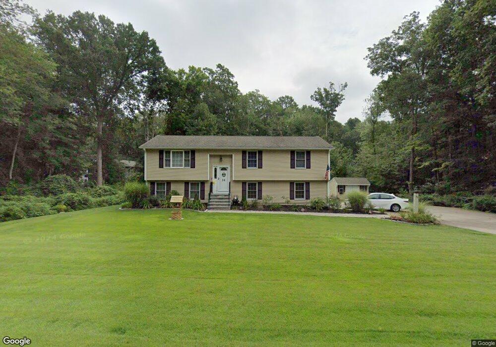
32 Longate Rd Clinton, CT 06413
Estimated Value: $364,000 - $461,000
3
Beds
2
Baths
1,188
Sq Ft
$353/Sq Ft
Est. Value
About This Home
This home is located at 32 Longate Rd, Clinton, CT 06413 and is currently estimated at $419,790, approximately $353 per square foot. 32 Longate Rd is a home located in Middlesex County with nearby schools including Lewin G. Joel Jr. School and The Morgan School.
Ownership History
Date
Name
Owned For
Owner Type
Purchase Details
Closed on
Dec 17, 1998
Sold by
Fish Alina E
Bought by
Mazzella Michael S and Mazzella Lorraine A
Current Estimated Value
Home Financials for this Owner
Home Financials are based on the most recent Mortgage that was taken out on this home.
Original Mortgage
$145,250
Interest Rate
6.85%
Purchase Details
Closed on
Sep 5, 1996
Sold by
Carpenter Donald M and Carpenter Margaret R
Bought by
Fish Alma E
Create a Home Valuation Report for This Property
The Home Valuation Report is an in-depth analysis detailing your home's value as well as a comparison with similar homes in the area
Home Values in the Area
Average Home Value in this Area
Purchase History
| Date | Buyer | Sale Price | Title Company |
|---|---|---|---|
| Mazzella Michael S | $152,900 | -- | |
| Mazzella Michael S | $152,900 | -- | |
| Fish Alma E | $132,000 | -- | |
| Fish Alma E | $132,000 | -- |
Source: Public Records
Mortgage History
| Date | Status | Borrower | Loan Amount |
|---|---|---|---|
| Open | Fish Alma E | $224,942 | |
| Closed | Fish Alma E | $145,000 | |
| Closed | Fish Alma E | $145,250 |
Source: Public Records
Tax History
| Year | Tax Paid | Tax Assessment Tax Assessment Total Assessment is a certain percentage of the fair market value that is determined by local assessors to be the total taxable value of land and additions on the property. | Land | Improvement |
|---|---|---|---|---|
| 2025 | $5,667 | $182,000 | $57,700 | $124,300 |
| 2024 | $5,507 | $182,000 | $57,700 | $124,300 |
| 2023 | $5,429 | $182,000 | $57,700 | $124,300 |
| 2022 | $5,429 | $182,000 | $57,700 | $124,300 |
| 2021 | $4,776 | $160,100 | $57,700 | $102,400 |
| 2020 | $5,003 | $160,100 | $57,700 | $102,400 |
| 2019 | $5,003 | $160,100 | $57,700 | $102,400 |
| 2018 | $4,889 | $160,100 | $57,700 | $102,400 |
| 2017 | $4,789 | $160,100 | $57,700 | $102,400 |
| 2016 | $4,345 | $160,100 | $57,700 | $102,400 |
| 2015 | $4,355 | $162,700 | $66,800 | $95,900 |
| 2014 | $4,274 | $162,700 | $66,800 | $95,900 |
Source: Public Records
Map
Nearby Homes
- 131 Cow Hill Rd
- 8 Egypt Ln
- 34 Hurd Bridge Rd
- 10 Stonewall Ln
- 106 Glenwood Rd
- 166 Glenwood Rd
- 0 Fairy Dell Rd
- 43 Evergreen Park
- 73 Airline Rd
- 133 W Main St Unit MV1
- 133 W Main St Unit TRLR A9
- 50 Jefferson Cir
- 11 Longview Terrace
- 16 Silverbrook Ln
- 64 W Main St
- 0 Cow Hill Rd
- 4 Currycross Rd Unit 4
- 244 Cow Hill Rd
- 6 Sandgate Cir
- 4 Van Dyke Ln
- 105 Cow Hill Rd
- 103 Cow Hill Rd
- 107 Cow Hill Rd
- 30 Longate Rd
- 43 Longate Rd
- 101 Cow Hill Rd
- 28 Longate Rd
- 41 Longate Rd
- 116 Cow Hill Rd
- 114 Cow Hill Rd
- 11 Coach Light Dr
- 8 Coach Light Dr
- 120 Cow Hill Rd
- 112 Cow Hill Rd
- 99 Cow Hill Rd
- 39 Longate Rd
- 110 Cow Hill Rd
- 6 Coach Light Dr
- 9 Coach Light Dr
- 97 Cow Hill Rd
Your Personal Tour Guide
Ask me questions while you tour the home.