32 Macfarlane Cir Monroe Township, NJ 08831
Estimated Value: $1,077,000 - $1,142,000
4
Beds
3
Baths
3,000
Sq Ft
$365/Sq Ft
Est. Value
About This Home
This home is located at 32 Macfarlane Cir, Monroe Township, NJ 08831 and is currently estimated at $1,094,832, approximately $364 per square foot. 32 Macfarlane Cir is a home located in Middlesex County with nearby schools including Barclay Brook Elementary School, Brookside Elementary School, and Monroe Township Middle School.
Ownership History
Date
Name
Owned For
Owner Type
Purchase Details
Closed on
Mar 31, 2013
Sold by
Kao Cary C and Kao Regina B
Bought by
Middleton Steven D and Middleton Mariela
Current Estimated Value
Home Financials for this Owner
Home Financials are based on the most recent Mortgage that was taken out on this home.
Original Mortgage
$579,313
Interest Rate
3.25%
Mortgage Type
FHA
Purchase Details
Closed on
Jun 30, 2006
Sold by
Feuer Michael
Bought by
Sarpal Ranjit and Sarpal Sangeeta
Home Financials for this Owner
Home Financials are based on the most recent Mortgage that was taken out on this home.
Original Mortgage
$417,000
Interest Rate
6.6%
Purchase Details
Closed on
Jun 18, 2003
Sold by
M&M At The Highlands
Bought by
Feuer Michael and Feuer Emily
Home Financials for this Owner
Home Financials are based on the most recent Mortgage that was taken out on this home.
Original Mortgage
$318,800
Interest Rate
5.34%
Create a Home Valuation Report for This Property
The Home Valuation Report is an in-depth analysis detailing your home's value as well as a comparison with similar homes in the area
Home Values in the Area
Average Home Value in this Area
Purchase History
| Date | Buyer | Sale Price | Title Company |
|---|---|---|---|
| Middleton Steven D | $590,000 | None Available | |
| Sarpal Ranjit | $660,000 | -- | |
| Feuer Michael | $531,374 | -- |
Source: Public Records
Mortgage History
| Date | Status | Borrower | Loan Amount |
|---|---|---|---|
| Previous Owner | Middleton Steven D | $579,313 | |
| Previous Owner | Sarpal Ranjit | $417,000 | |
| Previous Owner | Feuer Michael | $318,800 |
Source: Public Records
Tax History Compared to Growth
Tax History
| Year | Tax Paid | Tax Assessment Tax Assessment Total Assessment is a certain percentage of the fair market value that is determined by local assessors to be the total taxable value of land and additions on the property. | Land | Improvement |
|---|---|---|---|---|
| 2025 | $16,996 | $587,700 | $258,500 | $329,200 |
| 2024 | $16,409 | $587,700 | $258,500 | $329,200 |
| 2023 | $16,409 | $587,700 | $258,500 | $329,200 |
| 2022 | $16,109 | $587,700 | $258,500 | $329,200 |
| 2021 | $12,013 | $587,700 | $258,500 | $329,200 |
| 2020 | $16,044 | $587,700 | $258,500 | $329,200 |
| 2019 | $15,668 | $587,700 | $258,500 | $329,200 |
| 2018 | $15,504 | $587,700 | $258,500 | $329,200 |
| 2017 | $15,268 | $587,700 | $258,500 | $329,200 |
| 2016 | $15,027 | $587,700 | $258,500 | $329,200 |
| 2015 | $14,651 | $587,700 | $258,500 | $329,200 |
| 2014 | $14,134 | $587,700 | $258,500 | $329,200 |
Source: Public Records
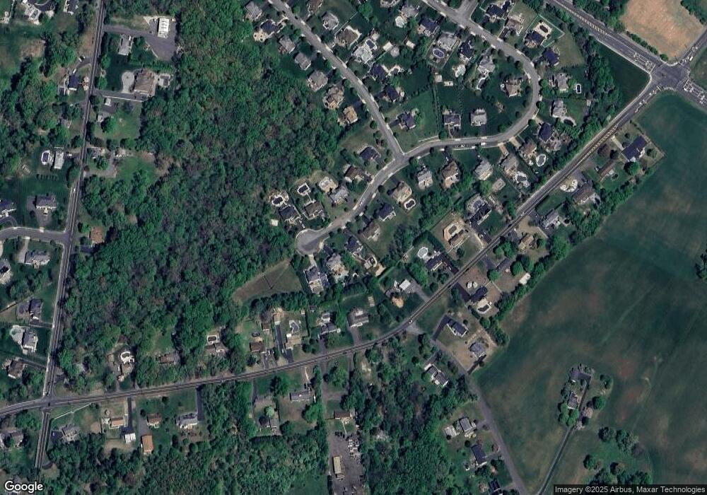
Map
Nearby Homes
- 54 Mcfarlane Cir
- 100 Gravel Hill-Spotswood Rd
- 100 Gravel Hill Spotswood Rd
- 1 Alexander Dr
- 95 Gravel Hill Spotswood Rd
- 6 Elliot Dr
- 20 Talmadge Dr
- 73 Turnberry Dr
- 36 Crenshaw Ct
- 31 Crenshaw Ct
- 15 Sunny Ct
- 9 Glen Eagles Way
- 59 Turnberry Dr
- 6 Beth Page Dr
- 6 Glen Eagles Way
- 239 Mounts Mills Rd
- 10 Mimi Dr
- 30306 Radford Ct
- 30206 Radford Ct
- 7 Riviera Dr
- 32 Mcfarlane Cir
- 32 Mcfarlane Cir
- 32 Mac Farlane Cir
- 30 Mcfarlane Cir
- 34 Mcfarlane Cir
- 34 Macfarlane Cir
- 28 Mcfarlane Cir
- 36 Mcfarlane Cir
- 40 Macfarlane Cir
- 42 Mcfarlane Cir
- 429 Hoffman Station Rd
- 40 Mcfarlane Cir
- 26 Mcfarlane Cir
- 26 Macfarlane Cir
- 38 Macfarlane Cir
- 425 Hoffman Station Rd
- 38 Mcfarlane Cir
- 431 Hoffman Station Rd
- 44 Mcfarlane Cir
- 423 Hoffman Station Rd