32 Maltbie Rd Newtown, CT 06470
Estimated Value: $539,000 - $631,645
3
Beds
3
Baths
1,500
Sq Ft
$399/Sq Ft
Est. Value
About This Home
This home is located at 32 Maltbie Rd, Newtown, CT 06470 and is currently estimated at $598,161, approximately $398 per square foot. 32 Maltbie Rd is a home located in Fairfield County with nearby schools including Middle Gate Elementary School, Reed Intermediate School, and Newtown Middle School.
Ownership History
Date
Name
Owned For
Owner Type
Purchase Details
Closed on
Nov 10, 2016
Sold by
Kneen Robert and Kneen Elizabeth
Bought by
Kneen Robert
Current Estimated Value
Purchase Details
Closed on
Aug 20, 2002
Sold by
Palmer Stephen and Palmer Lisa
Bought by
Kneen Robert and Kneen Elizabeth
Purchase Details
Closed on
Oct 21, 1994
Sold by
Casler Richard and Casler Anne
Bought by
Palmer Stephen and Dellapaoli Lisa
Home Financials for this Owner
Home Financials are based on the most recent Mortgage that was taken out on this home.
Original Mortgage
$139,650
Interest Rate
8.49%
Mortgage Type
Unknown
Create a Home Valuation Report for This Property
The Home Valuation Report is an in-depth analysis detailing your home's value as well as a comparison with similar homes in the area
Home Values in the Area
Average Home Value in this Area
Purchase History
| Date | Buyer | Sale Price | Title Company |
|---|---|---|---|
| Kneen Robert | -- | -- | |
| Kneen Robert | -- | -- | |
| Kneen Robert | $322,500 | -- | |
| Kneen Robert | $322,500 | -- | |
| Palmer Stephen | $176,500 | -- | |
| Palmer Stephen | $176,500 | -- |
Source: Public Records
Mortgage History
| Date | Status | Borrower | Loan Amount |
|---|---|---|---|
| Previous Owner | Palmer Stephen | $139,600 | |
| Previous Owner | Palmer Stephen | $139,650 |
Source: Public Records
Tax History Compared to Growth
Tax History
| Year | Tax Paid | Tax Assessment Tax Assessment Total Assessment is a certain percentage of the fair market value that is determined by local assessors to be the total taxable value of land and additions on the property. | Land | Improvement |
|---|---|---|---|---|
| 2025 | $9,820 | $341,700 | $140,360 | $201,340 |
| 2024 | $9,216 | $341,700 | $140,360 | $201,340 |
| 2023 | $8,966 | $341,700 | $140,360 | $201,340 |
| 2022 | $7,504 | $216,430 | $95,320 | $121,110 |
| 2021 | $7,499 | $216,430 | $95,320 | $121,110 |
| 2020 | $7,523 | $216,430 | $95,320 | $121,110 |
| 2019 | $7,525 | $216,430 | $95,320 | $121,110 |
| 2018 | $7,411 | $216,430 | $95,320 | $121,110 |
| 2017 | $6,742 | $199,050 | $104,170 | $94,880 |
| 2016 | $6,688 | $199,050 | $104,170 | $94,880 |
| 2015 | $6,583 | $199,050 | $104,170 | $94,880 |
| 2014 | $6,630 | $199,050 | $104,170 | $94,880 |
Source: Public Records
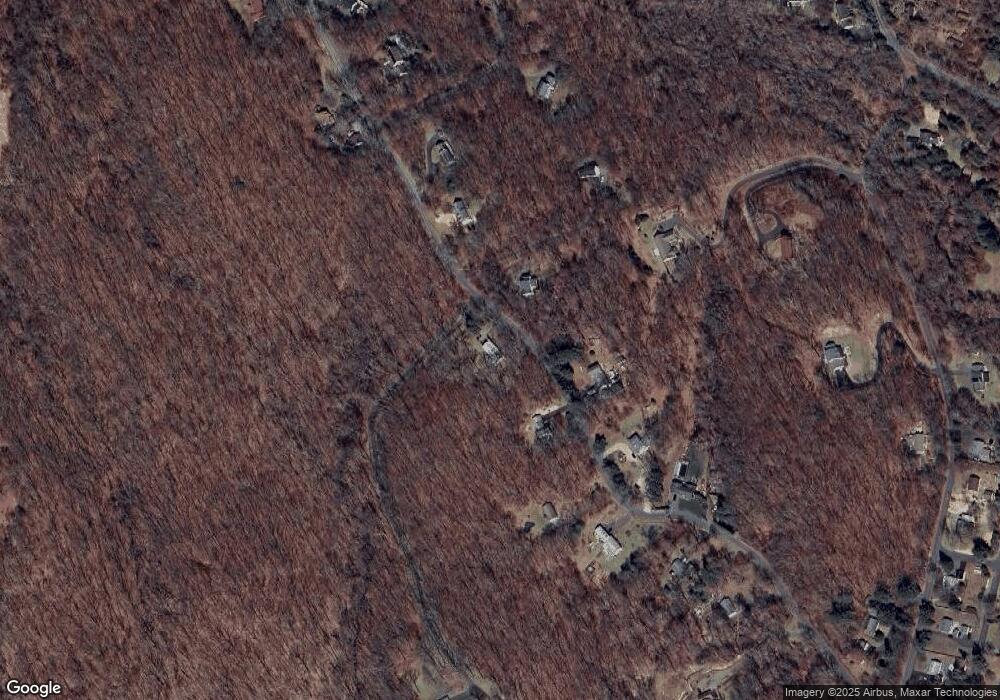
Map
Nearby Homes
- 19 Castle Meadow Rd
- 52 Aunt Park Ln
- 1 Hi Barlow Rd
- 26 100 Acres Rd
- 147 Brushy Hill Rd
- 34 Birchwood Rd
- 30 Hi Barlow Rd
- 162 Hattertown Rd
- 17 Hundred Acres Rd
- 22 Serene Way
- 10 Winton Farm Rd
- 24 Pine Tree Hill Rd
- 9A Oak Ridge Dr
- 49 Quarter Horse Dr
- 20 Blanket Meadow Rd
- 16 Ox Hill Rd
- 18 Sebastian Tr
- 5 Vona Way
- 6 Vona Way
- lot22 Vona Way