32 Maple Grove Rd Waymart, PA 18472
Estimated Value: $143,000 - $251,324
3
Beds
2
Baths
1,040
Sq Ft
$204/Sq Ft
Est. Value
About This Home
This home is located at 32 Maple Grove Rd, Waymart, PA 18472 and is currently estimated at $211,831, approximately $203 per square foot. 32 Maple Grove Rd is a home located in Wayne County with nearby schools including Forest City Regional Elementary School and Forest City Regional High School.
Ownership History
Date
Name
Owned For
Owner Type
Purchase Details
Closed on
Oct 3, 2020
Sold by
Komar Alexander J
Bought by
Manley Christopher and Cottrell Earl
Current Estimated Value
Home Financials for this Owner
Home Financials are based on the most recent Mortgage that was taken out on this home.
Original Mortgage
$66,495
Outstanding Balance
$59,036
Interest Rate
2.8%
Mortgage Type
VA
Estimated Equity
$152,795
Purchase Details
Closed on
Apr 29, 2017
Sold by
Komar Hannah
Bought by
Komar Alexander J
Create a Home Valuation Report for This Property
The Home Valuation Report is an in-depth analysis detailing your home's value as well as a comparison with similar homes in the area
Home Values in the Area
Average Home Value in this Area
Purchase History
| Date | Buyer | Sale Price | Title Company |
|---|---|---|---|
| Manley Christopher | $65,000 | None Available | |
| Komar Alexander J | -- | None Available |
Source: Public Records
Mortgage History
| Date | Status | Borrower | Loan Amount |
|---|---|---|---|
| Open | Manley Christopher | $66,495 |
Source: Public Records
Tax History Compared to Growth
Tax History
| Year | Tax Paid | Tax Assessment Tax Assessment Total Assessment is a certain percentage of the fair market value that is determined by local assessors to be the total taxable value of land and additions on the property. | Land | Improvement |
|---|---|---|---|---|
| 2025 | $2,722 | $168,000 | $61,100 | $106,900 |
| 2024 | $2,648 | $168,000 | $61,100 | $106,900 |
| 2023 | $3,647 | $168,000 | $61,100 | $106,900 |
| 2022 | $3,384 | $145,200 | $33,300 | $111,900 |
| 2021 | $3,349 | $145,200 | $33,300 | $111,900 |
| 2020 | $3,316 | $146,700 | $33,300 | $113,400 |
| 2019 | $3,154 | $146,700 | $33,300 | $113,400 |
| 2018 | $3,145 | $146,700 | $33,300 | $113,400 |
| 2017 | $3,104 | $146,700 | $33,300 | $113,400 |
| 2016 | $2,961 | $146,700 | $33,300 | $113,400 |
| 2014 | $2,315 | $146,700 | $33,300 | $113,400 |
Source: Public Records
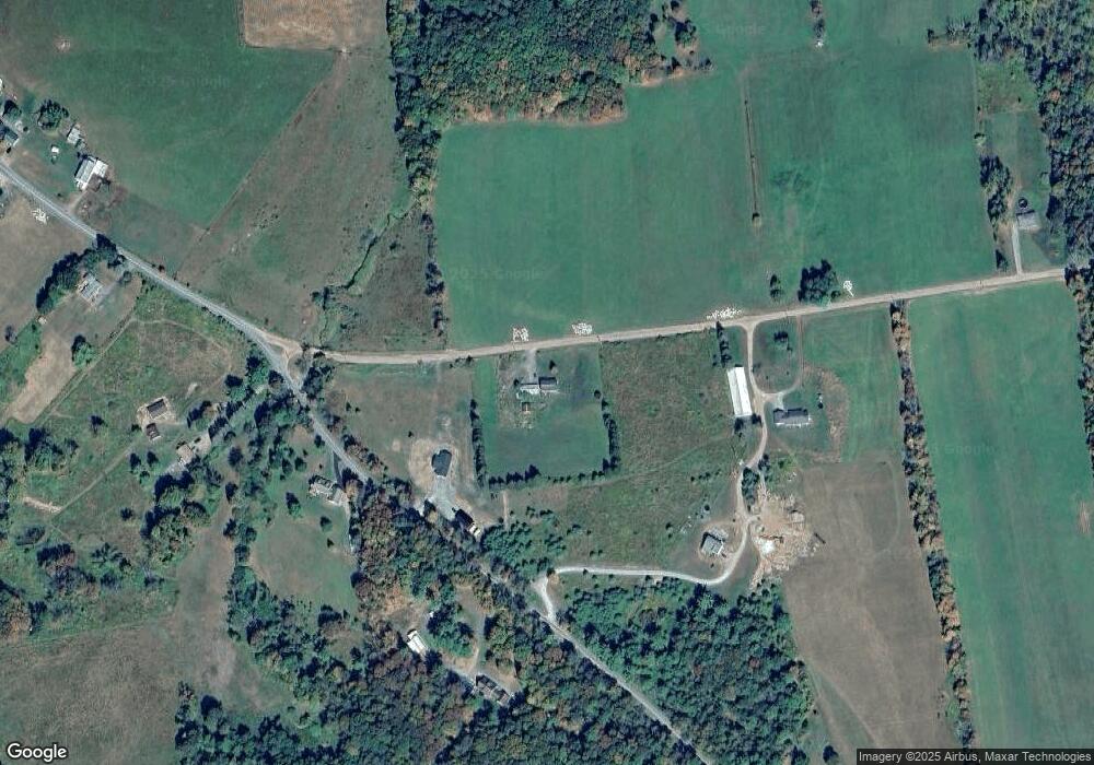
Map
Nearby Homes
- 48 T-539
- 48 Yarnes Rd
- 1995 Creek Dr
- 2051 Belmont Turnpike
- 0 E Mountain Rd
- 0 E Mountain Rd
- 409 Great Bend Turnpike
- 145 Pleasant View Dr
- Lot 4 Skinny Dip Ln
- 259 Ayoub Rd
- 1 West St
- 417 Martin St
- 413 Martin St
- 419 Martin St
- 403 Martin St
- 11 Mizianty Ln
- 1177 N Main St
- 520 State Route 2010
- 0 Corner of North St & Railroad St Unit GSBSC253787
- 429 Flat Rock Rd
- 1765 Belmont Turnpike
- 56 Maple Grove Rd
- 1743 Belmont Turnpike
- 1777 Belmont Turnpike
- 1704 Belmont Turnpike
- 81 Maple Grove Rd
- 1698 Belmont Turnpike
- 1821 Belmont Turnpike
- 1686 Belmont Turnpike
- 1678 Belmont Turnpike
- 81 Sherwood Dr
- 137 Sherwood Dr
- 1672 Belmont Turnpike
- 103 Sherwood Dr
- 114 Sherwood Dr
- 1659 Belmont Turnpike
- 149 Sherwood Dr
- 0 State Route 4023
- 144 Sherwood Dr
- 1651 Belmont Turnpike