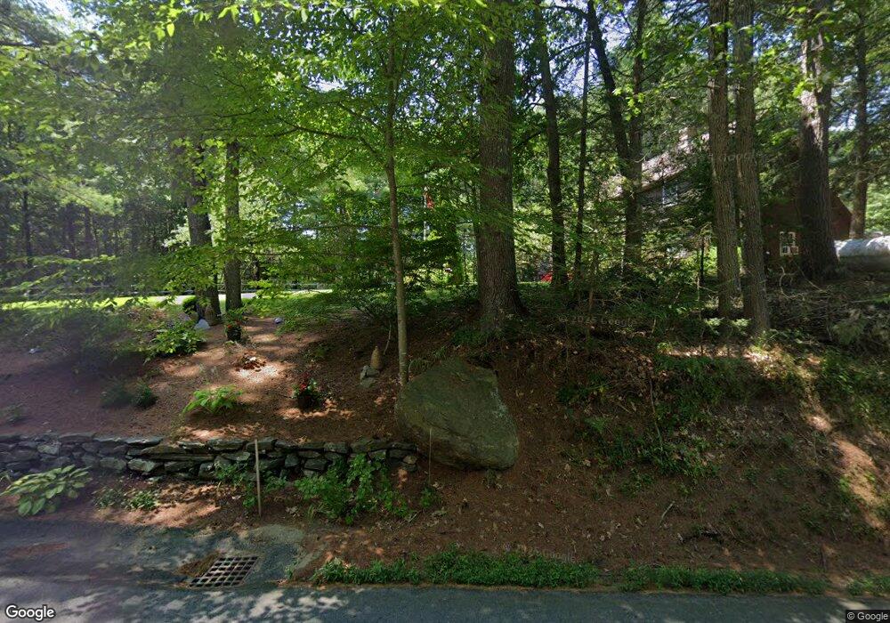
32 Mashapaug Rd Sturbridge, MA 01566
Estimated Value: $496,421 - $556,000
2
Beds
3
Baths
2,096
Sq Ft
$251/Sq Ft
Est. Value
About This Home
This home is located at 32 Mashapaug Rd, Sturbridge, MA 01566 and is currently estimated at $526,105, approximately $251 per square foot. 32 Mashapaug Rd is a home located in Worcester County with nearby schools including Burgess Elementary School, Tantasqua Regional Junior High School, and Tantasqua Regional High School.
Ownership History
Date
Name
Owned For
Owner Type
Purchase Details
Closed on
Nov 9, 2023
Sold by
Lazo Marlene C
Bought by
Gould Lt and Gould
Current Estimated Value
Purchase Details
Closed on
Nov 21, 2008
Sold by
Lazo Michael D
Bought by
Brogden Andrew B and Brogden Marcelle L
Purchase Details
Closed on
Jun 23, 2006
Sold by
Wkbk Ft and Barnsley
Bought by
Lazo Michael D
Purchase Details
Closed on
Jun 13, 2005
Sold by
Lazo Michael D
Bought by
Wkbk Ft and Barnsley
Home Financials for this Owner
Home Financials are based on the most recent Mortgage that was taken out on this home.
Original Mortgage
$455,000
Interest Rate
5.79%
Mortgage Type
Purchase Money Mortgage
Purchase Details
Closed on
Feb 9, 2005
Sold by
Lazo Marlene C and Lazo Michael D
Bought by
Lazo Marlene C
Purchase Details
Closed on
Nov 10, 2004
Sold by
Lazo Marlene C and Lazo Michael D
Bought by
Lazo Michael D
Create a Home Valuation Report for This Property
The Home Valuation Report is an in-depth analysis detailing your home's value as well as a comparison with similar homes in the area
Home Values in the Area
Average Home Value in this Area
Purchase History
| Date | Buyer | Sale Price | Title Company |
|---|---|---|---|
| Gould Lt | $2,200 | None Available | |
| Gould Lt | $2,200 | None Available | |
| Brogden Andrew B | $100,000 | -- | |
| Brogden Andrew B | $100,000 | -- | |
| Lazo Michael D | $455,000 | -- | |
| Lazo Michael D | $455,000 | -- | |
| Wkbk Ft | $460,000 | -- | |
| Wkbk Ft | $460,000 | -- | |
| Lazo Marlene C | -- | -- | |
| Lazo Marlene C | -- | -- | |
| Lazo Michael D | -- | -- | |
| Lazo Michael D | -- | -- |
Source: Public Records
Mortgage History
| Date | Status | Borrower | Loan Amount |
|---|---|---|---|
| Previous Owner | Wkbk Ft | $455,000 | |
| Previous Owner | Lazo Michael D | $100,000 |
Source: Public Records
Tax History
| Year | Tax Paid | Tax Assessment Tax Assessment Total Assessment is a certain percentage of the fair market value that is determined by local assessors to be the total taxable value of land and additions on the property. | Land | Improvement |
|---|---|---|---|---|
| 2025 | $6,823 | $428,300 | $86,800 | $341,500 |
| 2024 | $6,538 | $396,500 | $85,600 | $310,900 |
| 2023 | $6,189 | $342,500 | $74,700 | $267,800 |
| 2022 | $6,421 | $335,300 | $67,700 | $267,600 |
| 2021 | $5,989 | $314,900 | $64,700 | $250,200 |
| 2020 | $5,989 | $314,900 | $64,700 | $250,200 |
| 2019 | $5,714 | $298,400 | $66,400 | $232,000 |
| 2018 | $5,503 | $283,100 | $63,300 | $219,800 |
| 2017 | $5,255 | $270,900 | $61,200 | $209,700 |
| 2016 | $5,202 | $270,800 | $59,400 | $211,400 |
| 2015 | $5,008 | $260,300 | $59,400 | $200,900 |
Source: Public Records
Map
Nearby Homes
- 30 Mashapaug Rd
- 40 Bentwood Dr
- 402 Pleasant Pkwy
- 222 Park Cir
- 43 Park Ave
- 39 Park Ave
- 74 River Rd
- 170 Shepard Rd
- 389 Breakneck Rd
- 69 Farquhar Rd
- Lot B-6 River Rd
- 757 South St
- 8 Blueberry Ln
- 41 Dennison Ln
- 13 Ridge Rd
- 20 Marc Ave
- 41 Willow Ln
- 558 Haynes St
- Lot 1 Berry Farms Road-2 Acre
- 74 Fairview Park Rd
- 34 Mashapaug Rd
- 28 Mashapaug Rd
- 23 Mashapaug Rd
- 24 Mashapaug Rd
- 43 Mashapaug Rd
- 32 Bentwood Dr
- 38 Bentwood Dr
- 30 Bentwood Dr
- 26 Bentwood Dr
- 24 Bentwood Dr
- 22 Bentwood Dr
- 20 Bentwood Dr
- 22 Bentwood Dr Unit 22
- 42 Bentwood Dr
- 54 Bentwood Dr
- 52 Bentwood Dr
- 48 Bentwood Dr
- 54 Bentwood Dr Unit 54
- 54 Bentwood Dr Unit 54,CLUSTER5
- 8 Bentwood Dr
Your Personal Tour Guide
Ask me questions while you tour the home.