32 Maytum Way Middleton, MA 01949
Estimated Value: $615,000 - $727,000
2
Beds
3
Baths
2,850
Sq Ft
$234/Sq Ft
Est. Value
About This Home
This home is located at 32 Maytum Way, Middleton, MA 01949 and is currently estimated at $667,443, approximately $234 per square foot. 32 Maytum Way is a home located in Essex County with nearby schools including Howe-Manning Elementary School, Fuller Meadow Elementary School, and Masconomet Regional Middle School.
Ownership History
Date
Name
Owned For
Owner Type
Purchase Details
Closed on
Sep 15, 2025
Sold by
Dimartino Christine A and Dimartino Rosario
Bought by
Dimartino Ft Of 2025 and Dimartino
Current Estimated Value
Purchase Details
Closed on
Jan 11, 2024
Sold by
Pelletier Mark A
Bought by
Dimartino Christine A and Dimartino Rosario
Purchase Details
Closed on
Apr 23, 2014
Sold by
Esper Judith A and Esper Robert E
Bought by
Pelletier Mark A and Brooks Diane M
Home Financials for this Owner
Home Financials are based on the most recent Mortgage that was taken out on this home.
Original Mortgage
$355,000
Interest Rate
4.36%
Mortgage Type
New Conventional
Purchase Details
Closed on
Dec 11, 1998
Sold by
Fds North Main St T and Desimone
Bought by
Esper Judith A and Esper Robert S
Create a Home Valuation Report for This Property
The Home Valuation Report is an in-depth analysis detailing your home's value as well as a comparison with similar homes in the area
Home Values in the Area
Average Home Value in this Area
Purchase History
| Date | Buyer | Sale Price | Title Company |
|---|---|---|---|
| Dimartino Ft Of 2025 | -- | -- | |
| Dimartino Christine A | $575,000 | None Available | |
| Dimartino Christine A | $575,000 | None Available | |
| Pelletier Mark A | $355,000 | -- | |
| Pelletier Mark A | $355,000 | -- | |
| Pelletier Mark A | $355,000 | -- | |
| Esper Judith A | $335,000 | -- | |
| Esper Judith A | $335,000 | -- |
Source: Public Records
Mortgage History
| Date | Status | Borrower | Loan Amount |
|---|---|---|---|
| Previous Owner | Pelletier Mark A | $355,000 |
Source: Public Records
Tax History Compared to Growth
Tax History
| Year | Tax Paid | Tax Assessment Tax Assessment Total Assessment is a certain percentage of the fair market value that is determined by local assessors to be the total taxable value of land and additions on the property. | Land | Improvement |
|---|---|---|---|---|
| 2025 | $7,675 | $645,500 | $0 | $645,500 |
| 2024 | $7,414 | $628,800 | $0 | $628,800 |
| 2023 | $7,825 | $608,000 | $0 | $608,000 |
| 2022 | $7,317 | $552,200 | $0 | $552,200 |
| 2021 | $6,211 | $452,700 | $0 | $452,700 |
| 2020 | $6,016 | $441,700 | $0 | $441,700 |
| 2019 | $6,088 | $444,700 | $0 | $444,700 |
| 2018 | $6,025 | $431,600 | $0 | $431,600 |
| 2017 | $5,411 | $387,900 | $0 | $387,900 |
| 2016 | $5,087 | $366,200 | $0 | $366,200 |
| 2015 | $4,948 | $359,100 | $0 | $359,100 |
Source: Public Records
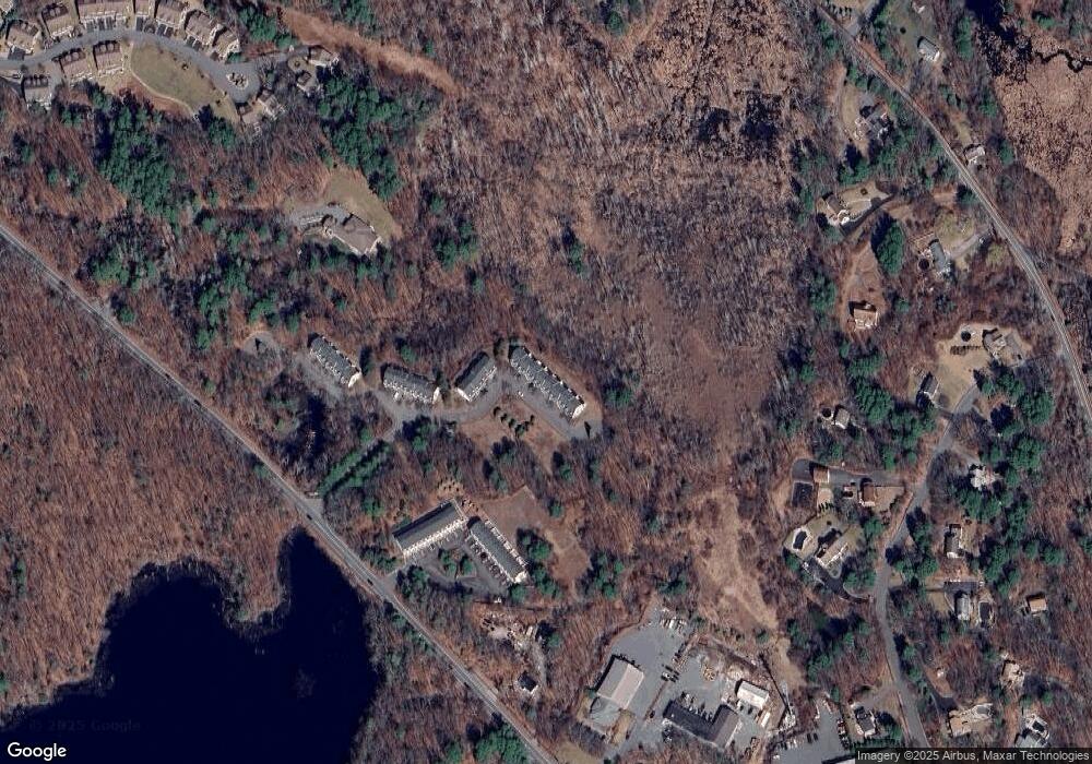
Map
Nearby Homes
- 196-200 B1 N Main St
- 123 Forest St
- 77 Essex St
- 89 Forest St
- 112 Mill St
- 39 Central St
- 3 Useadoor St
- 3 Harvest Dr Unit 106
- 2 Harvest Dr Unit 301
- 3 Harvest Dr Unit 303
- 78 Mill St
- 1 Mill Terrace
- 47 Maple St Unit A
- 49 Maple St Unit B
- 220 Swan Pond Rd
- 3 Warren Dr
- 480 Sharpners Pond Rd
- 28 Niblick Way
- 1 Overbrook Rd
- 10 Oak St
- 34 Maytum Way
- 30 Maytum Way
- 24 Maytum Way
- 22 Maytum Way
- 20 Maytum Way
- 32 Maytum Way Unit 2
- 30 Maytum Way Unit 3
- 32 Maytum Way Unit 32
- 34 Maytum Way Unit 34
- 34 Maytum Way Unit 1
- 26 Maytum Way
- 28 Maytum Way
- 18 Maytum Way
- 16 Maytum Way
- 14 Maytum Way
- 12 Maytum Way
- 14 Maytum Way Unit 11
- 14 Maytum Way Unit 14
- 16 Maytum Way Unit 16
- 16 Maytum Way Unit 10