32 Mcgregor Ln Rindge, NH 03461
Estimated Value: $507,000 - $664,000
3
Beds
2
Baths
2,297
Sq Ft
$251/Sq Ft
Est. Value
About This Home
This home is located at 32 Mcgregor Ln, Rindge, NH 03461 and is currently estimated at $576,047, approximately $250 per square foot. 32 Mcgregor Ln is a home with nearby schools including Rindge Memorial School, Conant Middle High School, and Conant High School.
Ownership History
Date
Name
Owned For
Owner Type
Purchase Details
Closed on
Sep 15, 1999
Sold by
Bedore Margaret
Bought by
Naresky Gary and Naresky Kimberly A
Current Estimated Value
Home Financials for this Owner
Home Financials are based on the most recent Mortgage that was taken out on this home.
Original Mortgage
$164,350
Outstanding Balance
$43,466
Interest Rate
7.83%
Mortgage Type
Purchase Money Mortgage
Estimated Equity
$532,581
Create a Home Valuation Report for This Property
The Home Valuation Report is an in-depth analysis detailing your home's value as well as a comparison with similar homes in the area
Home Values in the Area
Average Home Value in this Area
Purchase History
| Date | Buyer | Sale Price | Title Company |
|---|---|---|---|
| Naresky Gary | $173,000 | -- |
Source: Public Records
Mortgage History
| Date | Status | Borrower | Loan Amount |
|---|---|---|---|
| Open | Naresky Gary | $164,350 |
Source: Public Records
Tax History
| Year | Tax Paid | Tax Assessment Tax Assessment Total Assessment is a certain percentage of the fair market value that is determined by local assessors to be the total taxable value of land and additions on the property. | Land | Improvement |
|---|---|---|---|---|
| 2024 | $6,820 | $269,478 | $47,378 | $222,100 |
| 2023 | $6,766 | $270,226 | $48,126 | $222,100 |
| 2022 | $6,223 | $270,226 | $48,126 | $222,100 |
| 2021 | $6,121 | $270,226 | $48,126 | $222,100 |
| 2020 | $6,070 | $270,382 | $48,282 | $222,100 |
| 2019 | $5,948 | $214,281 | $37,881 | $176,400 |
| 2018 | $5,902 | $214,602 | $38,202 | $176,400 |
| 2017 | $5,825 | $214,241 | $37,841 | $176,400 |
| 2016 | $5,979 | $214,241 | $37,841 | $176,400 |
| 2015 | $5,975 | $214,241 | $37,841 | $176,400 |
| 2014 | $5,558 | $213,541 | $67,741 | $145,800 |
| 2013 | $5,511 | $216,463 | $70,663 | $145,800 |
Source: Public Records
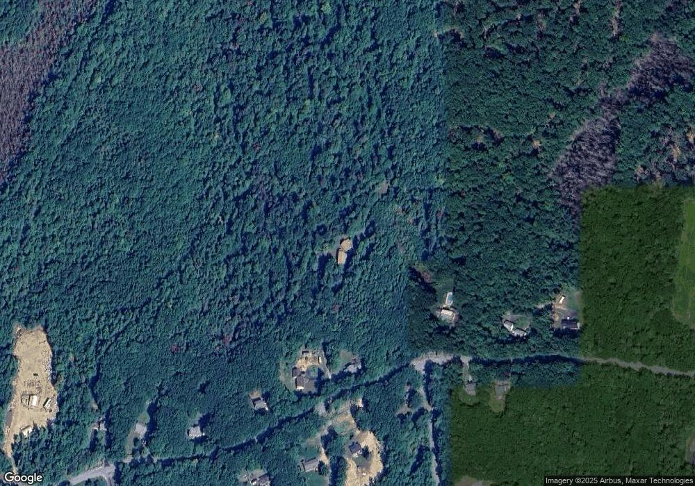
Map
Nearby Homes
- Unit 9 Willow Ln
- 109 Middle Winchendon Rd
- 9 Tervo Rd
- 0 New Hampshire 119 Unit 73
- 196 Lord Brook Rd
- Lot 3 Saybrook Dr
- 28 Saybrook Dr
- Lot 1 Saybrook Dr
- 452 Middle Winchendon Rd
- 205 Fitzgerald Rd
- 518 Main St
- 138 Birch Dr
- 253 Wellington Rd
- 78 Colburn Ln
- 4 Sportsman Ln
- 14 Tico Rd
- 20 Amalia Way
- 420 Old New Ipswich Rd
- 129 Scenic Dr
- 801 Rt 12 S
- 92 Hunt Hill Rd
- 5 Mcgregor Ln
- 124 Hunt Hill Rd
- 80 Hunt Hill Rd
- 89 Hunt Hill Rd
- 6 Romano Ave
- 99 Hunt Hill Rd
- 107 Hunt Hill Rd
- 83 Hunt Hill Rd
- 115 Hunt Hill Rd
- 138 Hunt Hill Rd
- 78 Hunt Hill Rd
- 129 Hunt Hill Rd
- 146 Hunt Hill Rd
- 21 Romano Ave
- 152 Hunt Hill Rd
- 137 Hunt Hill Rd
- 147 Hunt Hill Rd
- 153 Hunt Hill Rd
- 59 Hunt Hill Rd
Your Personal Tour Guide
Ask me questions while you tour the home.