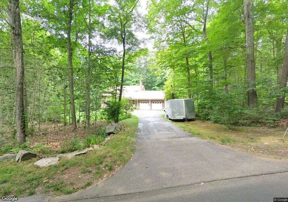
32 McTigh Rd Higganum, CT 06441
Estimated Value: $502,000 - $558,000
3
Beds
3
Baths
2,037
Sq Ft
$260/Sq Ft
Est. Value
About This Home
This home is located at 32 McTigh Rd, Higganum, CT 06441 and is currently estimated at $528,666, approximately $259 per square foot. 32 McTigh Rd is a home located in Middlesex County with nearby schools including Haddam-Killingworth High School.
Ownership History
Date
Name
Owned For
Owner Type
Purchase Details
Closed on
Mar 27, 2025
Sold by
Warjas Stefan B
Bought by
Warjas Sylvia A
Current Estimated Value
Purchase Details
Closed on
Feb 17, 2010
Sold by
Fnma
Bought by
Warjas Sylvia A and Warjas Stefan B
Purchase Details
Closed on
Oct 5, 2009
Sold by
Countrywide Home Loans
Bought by
Federal National Mortgage Association
Create a Home Valuation Report for This Property
The Home Valuation Report is an in-depth analysis detailing your home's value as well as a comparison with similar homes in the area
Home Values in the Area
Average Home Value in this Area
Purchase History
| Date | Buyer | Sale Price | Title Company |
|---|---|---|---|
| Warjas Sylvia A | -- | None Available | |
| Warjas Sylvia A | -- | None Available | |
| Warjas Sylvia A | -- | -- | |
| Warjas Sylvia A | -- | -- | |
| Federal National Mortgage Association | -- | -- |
Source: Public Records
Mortgage History
| Date | Status | Borrower | Loan Amount |
|---|---|---|---|
| Previous Owner | Federal National Mortgage Association | $225,000 | |
| Previous Owner | Federal National Mortgage Association | $23,000 |
Source: Public Records
Tax History Compared to Growth
Tax History
| Year | Tax Paid | Tax Assessment Tax Assessment Total Assessment is a certain percentage of the fair market value that is determined by local assessors to be the total taxable value of land and additions on the property. | Land | Improvement |
|---|---|---|---|---|
| 2025 | $7,511 | $218,660 | $59,540 | $159,120 |
| 2024 | $7,511 | $218,660 | $59,540 | $159,120 |
| 2023 | $7,406 | $218,660 | $59,540 | $159,120 |
| 2022 | $7,069 | $218,660 | $59,540 | $159,120 |
| 2021 | $7,032 | $218,660 | $59,540 | $159,120 |
| 2020 | $6,734 | $212,510 | $68,610 | $143,900 |
| 2019 | $6,734 | $212,510 | $68,610 | $143,900 |
| 2018 | $6,734 | $212,510 | $68,610 | $143,900 |
| 2017 | $6,734 | $212,510 | $68,610 | $143,900 |
| 2016 | $6,630 | $212,510 | $68,610 | $143,900 |
| 2015 | $6,527 | $209,200 | $68,610 | $140,590 |
| 2014 | $6,462 | $209,200 | $68,610 | $140,590 |
Source: Public Records
Map
Nearby Homes
- 16 Hidden Lake Rd
- 279 Pokorny Rd
- 63 Burr Rd
- 28 Fieldstone Ln
- 882 Killingworth Rd
- 12 Jackson Rd
- 52 Sima Rd
- 63 Laurel Grove Dr
- 7 Little Fawn Trail
- 13 Cranberry Meadow Ln
- 0 S Dish Mill Rd Unit 24082788
- 12 Rachel Ct
- 209 Wiese Albert Rd
- 521 Foot Hills Rd
- 72 Dickinson Rd
- 511 Route 81
- 32 Maple Ave W
- 275 Route 148
- 428 Plains Rd
- 86 Christian Hill Rd