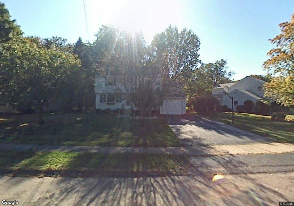
32 Meadowgate St Wethersfield, CT 06109
Estimated Value: $463,000 - $553,000
4
Beds
3
Baths
1,695
Sq Ft
$293/Sq Ft
Est. Value
About This Home
This home is located at 32 Meadowgate St, Wethersfield, CT 06109 and is currently estimated at $495,826, approximately $292 per square foot. 32 Meadowgate St is a home located in Hartford County with nearby schools including Highcrest School, Silas Deane Middle School, and Wethersfield High School.
Ownership History
Date
Name
Owned For
Owner Type
Purchase Details
Closed on
Oct 31, 2024
Sold by
Wilson Jolene L
Bought by
Jolene L Wilson Ret and Wilson
Current Estimated Value
Purchase Details
Closed on
Mar 7, 2014
Sold by
Wilson Bjorn E
Bought by
Wilson Jolene L
Purchase Details
Closed on
May 18, 1999
Sold by
Sheely Sylvester A and Sheely Jill A
Bought by
Wilson Bjorn E and Wilson Jolene D
Purchase Details
Closed on
Jan 17, 1990
Sold by
Cummings Richard
Bought by
Sheely Sylvester A
Purchase Details
Closed on
Sep 9, 1988
Sold by
Siena Russell A
Bought by
Sheely Sylvester A
Create a Home Valuation Report for This Property
The Home Valuation Report is an in-depth analysis detailing your home's value as well as a comparison with similar homes in the area
Home Values in the Area
Average Home Value in this Area
Purchase History
| Date | Buyer | Sale Price | Title Company |
|---|---|---|---|
| Jolene L Wilson Ret | -- | None Available | |
| Jolene L Wilson Ret | -- | None Available | |
| Wilson Jolene L | -- | -- | |
| Wilson Bjorn E | $201,250 | -- | |
| Wilson Jolene L | -- | -- | |
| Wilson Bjorn E | $201,250 | -- | |
| Sheely Sylvester A | $5,000 | -- | |
| Sheely Sylvester A | $225,000 | -- |
Source: Public Records
Mortgage History
| Date | Status | Borrower | Loan Amount |
|---|---|---|---|
| Previous Owner | Sheely Sylvester A | $50,000 | |
| Previous Owner | Sheely Sylvester A | $233,000 |
Source: Public Records
Tax History
| Year | Tax Paid | Tax Assessment Tax Assessment Total Assessment is a certain percentage of the fair market value that is determined by local assessors to be the total taxable value of land and additions on the property. | Land | Improvement |
|---|---|---|---|---|
| 2025 | $12,848 | $311,690 | $103,530 | $208,160 |
| 2024 | $8,912 | $206,190 | $79,100 | $127,090 |
| 2023 | $8,615 | $206,190 | $79,100 | $127,090 |
| 2022 | $8,470 | $206,190 | $79,100 | $127,090 |
| 2021 | $8,386 | $206,190 | $79,100 | $127,090 |
| 2020 | $8,390 | $206,190 | $79,100 | $127,090 |
| 2019 | $8,400 | $206,190 | $79,100 | $127,090 |
| 2018 | $7,985 | $195,800 | $75,700 | $120,100 |
| 2017 | $7,787 | $195,800 | $75,700 | $120,100 |
| 2016 | $7,546 | $195,800 | $75,700 | $120,100 |
| 2015 | $7,478 | $195,800 | $75,700 | $120,100 |
| 2014 | $7,194 | $195,800 | $75,700 | $120,100 |
Source: Public Records
Map
Nearby Homes
- 11 Charter Rd
- 31 Ox Yoke Dr
- 38 Wheeler Rd
- 89 Merriman Rd
- 250 Edward St
- 195 Middletown Ave
- 25 Sutton Rd
- 137 Dale Rd
- 131 Coleman Rd
- 455 Brimfield Rd
- 147 Spring St
- 108 Chamberlain Rd
- 22 Winesap Cir Unit 22
- 18 Mcintosh Cir Unit 18
- 35 Stillwold Dr
- 268 Fox Hill Rd
- 1610 Silas Deane Hwy
- 0 Collier Rd
- 101 Collier Rd
- 3 Colonial Dr Unit C
- 42 Meadowgate St
- 22 Meadowgate St
- 52 Meadowgate St
- 479 Maple St
- 471 Maple St
- 17 Meadowgate St
- 43 Meadowgate St
- 62 Meadowgate St
- 35 Meadowgate St
- 459 Maple St
- 51 Meadowgate St
- 27 Meadowgate St
- 59 Meadowgate St
- 489 Maple St
- 72 Meadowgate St
- 69 Meadowgate St
- 451 Maple St
- 82 Meadowgate St
- 486 Maple St
- 77 Meadowgate St
Your Personal Tour Guide
Ask me questions while you tour the home.