Estimated Value: $651,549 - $750,000
3
Beds
1
Bath
1,200
Sq Ft
$574/Sq Ft
Est. Value
About This Home
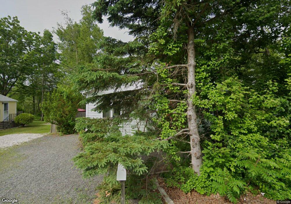
This home is located at 32 Mitchell Rd, York, ME 03909 and is currently estimated at $688,637, approximately $573 per square foot. 32 Mitchell Rd is a home located in York County with nearby schools including Coastal Ridge Elementary School, Village Elementary School, and York Middle School.
Ownership History
Date
Name
Owned For
Owner Type
Purchase Details
Closed on
Oct 22, 2009
Sold by
Collings Marilyn A
Bought by
Collings Norman R
Current Estimated Value
Home Financials for this Owner
Home Financials are based on the most recent Mortgage that was taken out on this home.
Original Mortgage
$100,000
Outstanding Balance
$64,827
Interest Rate
4.86%
Mortgage Type
Stand Alone Second
Estimated Equity
$623,810
Create a Home Valuation Report for This Property
The Home Valuation Report is an in-depth analysis detailing your home's value as well as a comparison with similar homes in the area
Home Values in the Area
Average Home Value in this Area
Purchase History
| Date | Buyer | Sale Price | Title Company |
|---|---|---|---|
| Collings Norman R | -- | -- |
Source: Public Records
Mortgage History
| Date | Status | Borrower | Loan Amount |
|---|---|---|---|
| Open | Collings Norman R | $100,000 |
Source: Public Records
Tax History
| Year | Tax Paid | Tax Assessment Tax Assessment Total Assessment is a certain percentage of the fair market value that is determined by local assessors to be the total taxable value of land and additions on the property. | Land | Improvement |
|---|---|---|---|---|
| 2024 | $4,405 | $524,400 | $349,400 | $175,000 |
| 2023 | $4,150 | $491,100 | $316,100 | $175,000 |
| 2022 | $3,423 | $400,400 | $237,000 | $163,400 |
| 2021 | $3,694 | $371,300 | $228,800 | $142,500 |
| 2020 | $3,500 | $340,300 | $228,800 | $111,500 |
| 2019 | $3,503 | $314,200 | $203,800 | $110,400 |
| 2018 | $3,083 | $296,500 | $187,200 | $109,300 |
| 2017 | $3,224 | $294,400 | $187,200 | $107,200 |
| 2016 | $3,051 | $273,600 | $166,400 | $107,200 |
| 2015 | $2,974 | $270,400 | $166,400 | $104,000 |
| 2014 | $2,893 | $270,400 | $166,400 | $104,000 |
| 2013 | $2,734 | $262,100 | $158,100 | $104,000 |
Source: Public Records
Map
Nearby Homes
- 8 Jeremiah Ln
- Lot A Juniper Rd
- 10 Yorke Ridge Way
- 293 Long Beach Ave
- 6 Dingle Rd Unit 4
- 6 Dingle Rd Unit 5
- 17 Blueberry Ln
- 12 Cardinal Ln
- 15 Summer Breeze Unit A & B
- 8 Oceanside Ave Unit 2
- 263 Long Sands Rd Unit 2
- 263 Long Sands Rd Unit 2
- 115 Long Beach Ave Unit 3
- 32 Bluestone Ln
- 45 Old Post Rd
- 208 Long Sands Rd
- 35 Gunnison Rd
- 801 Us Rt 1 Yorke Woods Unit K-3
- 801 US Route 1 Unit B3
- 801 US Route 1 Unit D2
Your Personal Tour Guide
Ask me questions while you tour the home.