32 Morningside Ln Long Lane, MO 65590
Estimated Value: $301,000 - $367,000
3
Beds
2
Baths
1,300
Sq Ft
$259/Sq Ft
Est. Value
About This Home
This home is located at 32 Morningside Ln, Long Lane, MO 65590 and is currently estimated at $336,932, approximately $259 per square foot. 32 Morningside Ln is a home located in Dallas County with nearby schools including Buffalo High School.
Ownership History
Date
Name
Owned For
Owner Type
Purchase Details
Closed on
May 17, 2011
Sold by
Wilson Jonathan T and Wilson Hayley
Bought by
Seufert Jason L
Current Estimated Value
Home Financials for this Owner
Home Financials are based on the most recent Mortgage that was taken out on this home.
Original Mortgage
$107,252
Outstanding Balance
$74,432
Interest Rate
4.85%
Mortgage Type
New Conventional
Estimated Equity
$262,500
Purchase Details
Closed on
Jun 18, 2008
Sold by
Southwest Community Bank
Bought by
Wilson Jonathan T
Purchase Details
Closed on
Feb 1, 2008
Sold by
Ownby Family Limited Partnership
Bought by
Southwest Community Bank
Create a Home Valuation Report for This Property
The Home Valuation Report is an in-depth analysis detailing your home's value as well as a comparison with similar homes in the area
Home Values in the Area
Average Home Value in this Area
Purchase History
| Date | Buyer | Sale Price | Title Company |
|---|---|---|---|
| Seufert Jason L | $100,000 | None Available | |
| Wilson Jonathan T | -- | None Available | |
| Southwest Community Bank | $65,000 | None Available |
Source: Public Records
Mortgage History
| Date | Status | Borrower | Loan Amount |
|---|---|---|---|
| Open | Seufert Jason L | $107,252 |
Source: Public Records
Tax History Compared to Growth
Tax History
| Year | Tax Paid | Tax Assessment Tax Assessment Total Assessment is a certain percentage of the fair market value that is determined by local assessors to be the total taxable value of land and additions on the property. | Land | Improvement |
|---|---|---|---|---|
| 2024 | $1,243 | $30,080 | $0 | $0 |
| 2023 | $1,228 | $27,700 | $0 | $0 |
| 2022 | $1,147 | $27,700 | $0 | $0 |
| 2021 | $903 | $25,630 | $0 | $0 |
| 2020 | $901 | $20,180 | $0 | $0 |
| 2019 | $903 | $20,180 | $0 | $0 |
| 2018 | $804 | $20,180 | $0 | $0 |
| 2014 | -- | $19,750 | $0 | $0 |
Source: Public Records
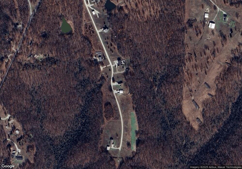
Map
Nearby Homes
- Tbd Hawk Nest Trail
- 23 Sweetwater Ln
- 95 Three Springs Loop
- 154 Steelman Rd
- 000 Engle Rd
- 743 State Highway 32
- 55 Quarry Rd
- 82 Watermill Rd
- 1356 State Highway 32
- 95 Deerfield Ln
- 223 Roberts Rd
- 000 Mill St
- 412 E Benton St
- 419 S Cedar St
- 502 S Maple St
- 316 S Maple St
- 117 W Madison St
- 701 N Pine St
- 217 W Ramsey St
- 305 W Main St
- 28 Morningside Ln
- 27 Morningside Ln
- 0 Hawks Nest Unit 11310632
- 18 Morningside Ln
- 47 Morningside Ln
- 000 Morningside Ln
- 89 Hwy-K
- 12 Morningside Ln
- 90 State Road K
- Tbd State Rd K
- 0 State Rd K Unit 10816624
- 0 State Rd K Unit 10902674
- 0 State Rd K Unit 10816623
- 0 State Rd K Unit 10902673
- 0 State Rd K Unit 10909246
- 0 State Rd K Unit 11209916
- 246 Three Springs Loop
- 89 St Rd K
- 89 St Hwy K
- 70 State Road K