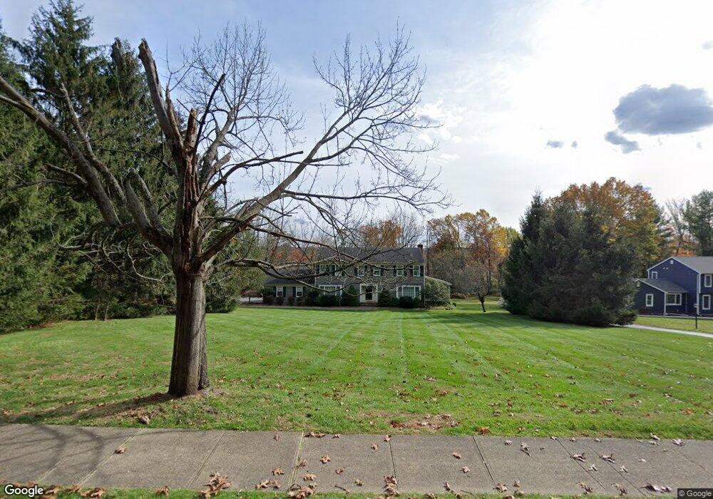
32 Mountainside Rd Mendham, NJ 07945
Estimated Value: $904,930 - $1,133,000
Studio
--
Bath
2,480
Sq Ft
$403/Sq Ft
Est. Value
About This Home
This home is located at 32 Mountainside Rd, Mendham, NJ 07945 and is currently estimated at $998,483, approximately $402 per square foot. 32 Mountainside Rd is a home located in Morris County with nearby schools including Hilltop Elementary School, Mountain View Middle School, and West Morris Mendham High School.
Ownership History
Date
Name
Owned For
Owner Type
Purchase Details
Closed on
Jan 12, 2001
Sold by
Oreilly Anne and Oreilly Brian
Bought by
Riccardi David and Riccardi Susan A
Current Estimated Value
Home Financials for this Owner
Home Financials are based on the most recent Mortgage that was taken out on this home.
Original Mortgage
$444,800
Outstanding Balance
$163,877
Interest Rate
7.52%
Estimated Equity
$834,606
Purchase Details
Closed on
Jul 24, 1996
Sold by
Barry Donald J and Barry Carol M
Bought by
Oreilly Anne
Purchase Details
Closed on
Dec 20, 1994
Sold by
Bergstrom Harry
Bought by
Barry Donald and Barry Carol
Home Financials for this Owner
Home Financials are based on the most recent Mortgage that was taken out on this home.
Original Mortgage
$351,000
Interest Rate
9.16%
Create a Home Valuation Report for This Property
The Home Valuation Report is an in-depth analysis detailing your home's value as well as a comparison with similar homes in the area
Home Values in the Area
Average Home Value in this Area
Purchase History
| Date | Buyer | Sale Price | Title Company |
|---|---|---|---|
| Riccardi David | $556,000 | Chicago Title Insurance Co | |
| Oreilly Anne | $375,000 | -- | |
| Barry Donald | $390,000 | -- |
Source: Public Records
Mortgage History
| Date | Status | Borrower | Loan Amount |
|---|---|---|---|
| Open | Riccardi David | $444,800 | |
| Previous Owner | Barry Donald | $351,000 |
Source: Public Records
Tax History
| Year | Tax Paid | Tax Assessment Tax Assessment Total Assessment is a certain percentage of the fair market value that is determined by local assessors to be the total taxable value of land and additions on the property. | Land | Improvement |
|---|---|---|---|---|
| 2025 | $14,667 | $596,200 | $333,900 | $262,300 |
| 2024 | $14,631 | $596,200 | $333,900 | $262,300 |
Source: Public Records
Map
Nearby Homes
- 36 Mountainside Rd
- 28 Mountainside Rd
- 40 Mountainside Rd
- 24 Mountainside Rd
- 27 Mountainside Rd
- 44 Mountainside Rd
- 39 Mountainside Rd
- 20 Mountainside Rd
- 38 Pembroke Dr
- 36 Pembroke Dr
- 34 Pembroke Dr
- 40 Pembroke Dr
- 42 Pembroke Dr
- 32 Pembroke Dr
- 30 Pembroke Dr
- 14 Wexford Dr
- 28 Pembroke Dr
- 44 Pembroke Dr
- 18 Wexford Dr
- 12 Wexford Dr
Your Personal Tour Guide
Ask me questions while you tour the home.