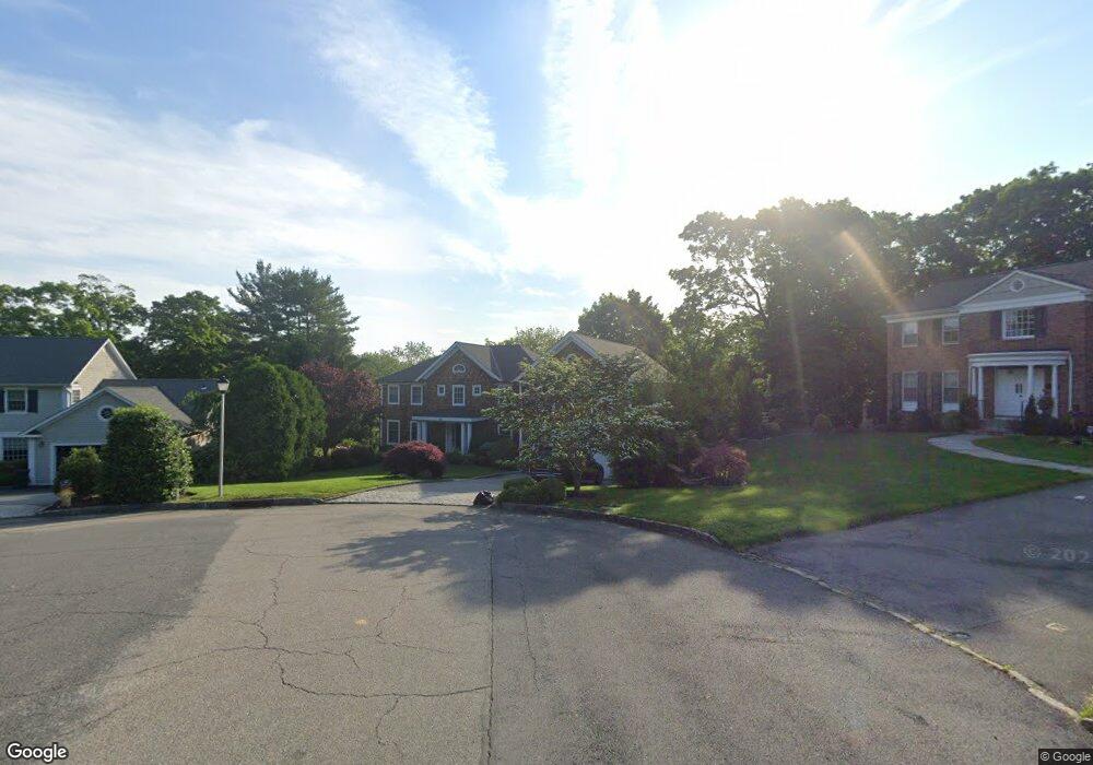
32 Myrtledale Rd Scarsdale, NY 10583
Secor Farms NeighborhoodEstimated Value: $3,356,348 - $4,270,000
6
Beds
6
Baths
6,455
Sq Ft
$588/Sq Ft
Est. Value
About This Home
This home is located at 32 Myrtledale Rd, Scarsdale, NY 10583 and is currently estimated at $3,797,337, approximately $588 per square foot. 32 Myrtledale Rd is a home located in Westchester County with nearby schools including Scarsdale Middle School, Scarsdale High School, and Westchester Torah Academy.
Ownership History
Date
Name
Owned For
Owner Type
Purchase Details
Closed on
Feb 10, 2017
Sold by
Hurst Ian R and Berrebi Hurst Estella H
Bought by
Lesser Matthew and Lesser Erin
Current Estimated Value
Home Financials for this Owner
Home Financials are based on the most recent Mortgage that was taken out on this home.
Original Mortgage
$2,000,000
Outstanding Balance
$1,655,917
Interest Rate
4.2%
Mortgage Type
New Conventional
Estimated Equity
$2,141,420
Purchase Details
Closed on
Aug 24, 2010
Sold by
Dweck Michael L and Dweck Patricia J
Bought by
Hurst Ian R and Berrebi Hurst Estelle H
Home Financials for this Owner
Home Financials are based on the most recent Mortgage that was taken out on this home.
Original Mortgage
$985,000
Interest Rate
3.87%
Mortgage Type
New Conventional
Create a Home Valuation Report for This Property
The Home Valuation Report is an in-depth analysis detailing your home's value as well as a comparison with similar homes in the area
Home Values in the Area
Average Home Value in this Area
Purchase History
| Date | Buyer | Sale Price | Title Company |
|---|---|---|---|
| Lesser Matthew | $2,600,000 | Titlevest Agency Llc | |
| Hurst Ian R | $2,550,000 | First Amer Title Ins Co Ny |
Source: Public Records
Mortgage History
| Date | Status | Borrower | Loan Amount |
|---|---|---|---|
| Open | Lesser Matthew | $2,000,000 | |
| Previous Owner | Hurst Ian R | $985,000 |
Source: Public Records
Tax History Compared to Growth
Tax History
| Year | Tax Paid | Tax Assessment Tax Assessment Total Assessment is a certain percentage of the fair market value that is determined by local assessors to be the total taxable value of land and additions on the property. | Land | Improvement |
|---|---|---|---|---|
| 2024 | $59,836 | $2,175,000 | $1,050,000 | $1,125,000 |
| 2023 | $39,138 | $2,175,000 | $1,050,000 | $1,125,000 |
| 2022 | $45,075 | $2,175,000 | $1,050,000 | $1,125,000 |
| 2021 | $49,957 | $2,175,000 | $1,050,000 | $1,125,000 |
| 2020 | $55,302 | $2,200,000 | $1,050,000 | $1,150,000 |
| 2019 | $54,881 | $2,200,000 | $1,050,000 | $1,150,000 |
| 2018 | $64,018 | $2,200,000 | $1,050,000 | $1,150,000 |
| 2017 | $0 | $2,200,000 | $1,050,000 | $1,150,000 |
| 2016 | $51,255 | $2,200,000 | $1,050,000 | $1,150,000 |
| 2015 | -- | $2,273,000 | $757,000 | $1,516,000 |
| 2014 | -- | $2,273,000 | $757,000 | $1,516,000 |
| 2013 | -- | $31,700 | $8,900 | $22,800 |
Source: Public Records
Map
Nearby Homes
- 21 Springdale Rd
- 28 Aspen Rd
- 32 Sycamore Rd
- 229 Mamaroneck Rd
- 8 Dell Rd
- 66 Secor Rd
- 96 Brookby Rd
- 18 Lincoln Rd
- 16 Coralyn Rd
- 36 Secor Rd
- 9 Hazelton Dr
- 101 Carthage Rd
- 61 Lincoln Rd
- 2 Weaver St Unit 9
- 2 Weaver St Unit 3
- 14 Wakefield Rd
- 85 Wiltshire Rd Unit B11
- 103 Wiltshire Rd Unit D2
- 14 Coralyn Ave
- 28 Durham Rd
- 29 Myrtledale Rd
- 30 Myrtledale Rd
- 105 Saxon Woods Rd
- 28 Myrtledale Rd
- 27 Myrtledale Rd
- 28 Springdale Rd
- 26 Springdale Rd
- 67 Saxon Woods Rd
- 30 Springdale Rd
- 24 Springdale Rd
- 32 Springdale Rd
- 65 Saxon Woods Rd
- 22 Springdale Rd
- 26 Myrtledale Rd
- 27 Springdale Rd
- 34 Springdale Rd
- 25 Springdale Rd
- 23 Myrtledale Rd
- 29 Springdale Rd
- 20 Springdale Rd