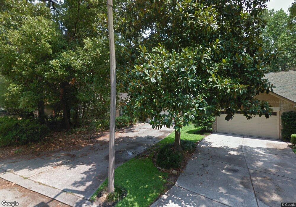
32 N Rain Forest Ct Spring, TX 77380
Grogan's Mill NeighborhoodEstimated Value: $251,919 - $309,000
--
Bed
2
Baths
1,268
Sq Ft
$219/Sq Ft
Est. Value
About This Home
This home is located at 32 N Rain Forest Ct, Spring, TX 77380 and is currently estimated at $277,980, approximately $219 per square foot. 32 N Rain Forest Ct is a home located in Montgomery County with nearby schools including Hailey Elementary School, W.D Wilkerson Intermediate School, and Knox J High School.
Ownership History
Date
Name
Owned For
Owner Type
Purchase Details
Closed on
Dec 6, 2017
Sold by
Perez Paul and Berntsen William M
Bought by
William Adam
Current Estimated Value
Home Financials for this Owner
Home Financials are based on the most recent Mortgage that was taken out on this home.
Original Mortgage
$142,500
Outstanding Balance
$119,973
Interest Rate
3.94%
Mortgage Type
New Conventional
Estimated Equity
$158,007
Purchase Details
Closed on
Sep 1, 1982
Bought by
Berntsen William M
Create a Home Valuation Report for This Property
The Home Valuation Report is an in-depth analysis detailing your home's value as well as a comparison with similar homes in the area
Home Values in the Area
Average Home Value in this Area
Purchase History
| Date | Buyer | Sale Price | Title Company |
|---|---|---|---|
| William Adam | -- | None Available | |
| Berntsen William M | -- | -- |
Source: Public Records
Mortgage History
| Date | Status | Borrower | Loan Amount |
|---|---|---|---|
| Open | William Adam | $142,500 |
Source: Public Records
Tax History Compared to Growth
Tax History
| Year | Tax Paid | Tax Assessment Tax Assessment Total Assessment is a certain percentage of the fair market value that is determined by local assessors to be the total taxable value of land and additions on the property. | Land | Improvement |
|---|---|---|---|---|
| 2025 | $2,432 | $218,417 | -- | -- |
| 2024 | $2,130 | $198,561 | -- | -- |
| 2023 | $2,130 | $180,510 | $50,000 | $155,950 |
| 2022 | $3,316 | $164,100 | $50,000 | $155,460 |
| 2021 | $3,255 | $149,180 | $13,160 | $136,020 |
| 2020 | $3,336 | $146,440 | $13,160 | $133,280 |
| 2019 | $3,440 | $146,130 | $13,160 | $132,970 |
| 2018 | $3,298 | $140,070 | $13,160 | $126,910 |
| 2017 | $3,342 | $140,230 | $13,160 | $127,070 |
| 2016 | $3,170 | $133,000 | $13,160 | $119,840 |
| 2015 | $2,571 | $125,960 | $13,160 | $127,700 |
| 2014 | $2,571 | $114,510 | $13,160 | $114,100 |
Source: Public Records
Map
Nearby Homes
- 36 N Rain Forest Ct
- 26 N Summer Star Ct
- 25 N Summer Star Ct
- 50 Dew Fall Ct
- 71 Timberspire Ln
- 40 N Morningwood Ct
- 56 N Morningwood Ct
- 62 Laughing Brook Ct
- 98 S Dreamweaver Cir
- 118 Angel Leaf Rd
- 1237 Pruitt Rd
- 1231 Pruitt Rd
- 190 N Tranquil Path Dr
- 713 Sawdust Rd
- 723 Shadowbrook Dr
- 28 Sawmill Grove Ln
- 205 Grogans Point Rd
- 722 Shadowbrook Dr
- 25225 Liberty Mill Dr
- 25419 Elm Creek Dr
- 34 N Rain Forest Ct
- 30 N Rain Forest Ct
- 28 N Rain Forest Ct
- 29 N Rain Forest Ct
- 33 N Rain Forest Ct
- 26 N Rain Forest Ct
- 40 N Rain Forest Ct
- 35 N Rain Forest Ct
- 42 N Rain Forest Ct
- 25 S High Oaks Cir
- 21 S High Oaks Cir
- 39 N Rain Forest Ct
- 27 S High Oaks Cir
- 59 Wood Scent Ct
- 19 S High Oaks Cir
- 60 Wood Scent Ct
- 22 N Summer Star Ct
- 17 S High Oaks Cir
- 29 S High Oaks Cir
- 59 Rockfern Ct