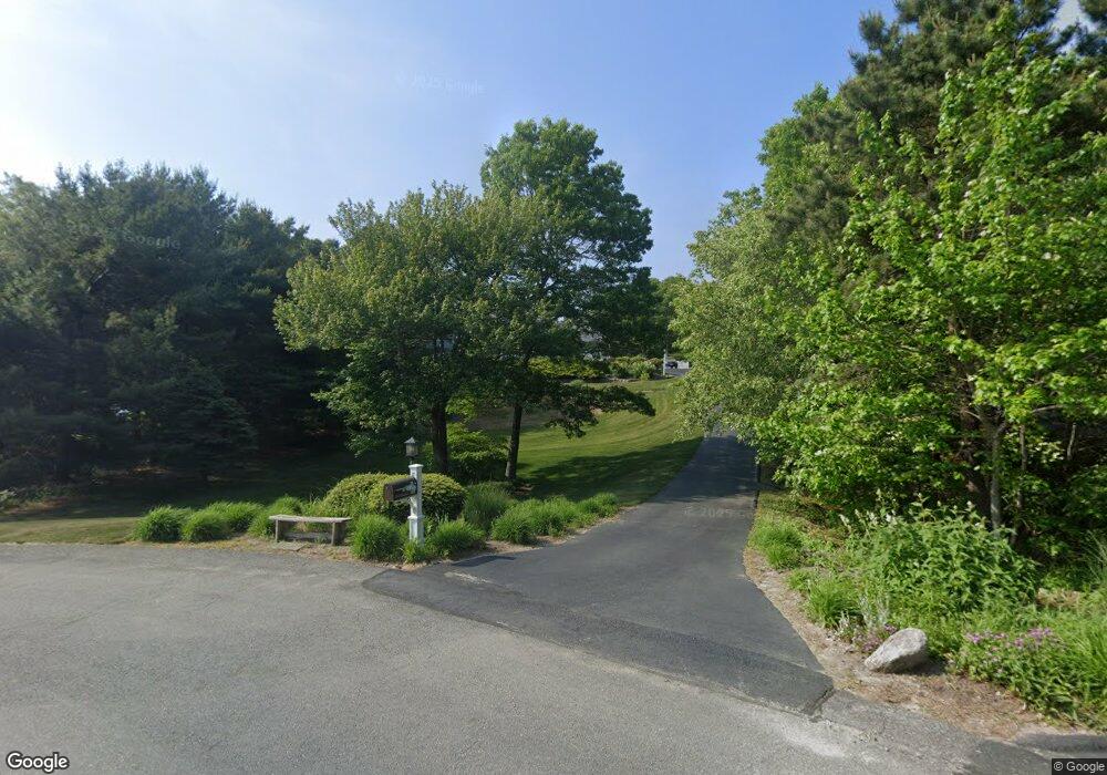
32 Noreast Ln Plymouth, MA 02360
Estimated Value: $859,000 - $1,017,000
4
Beds
3
Baths
3,258
Sq Ft
$282/Sq Ft
Est. Value
About This Home
This home is located at 32 Noreast Ln, Plymouth, MA 02360 and is currently estimated at $918,775, approximately $282 per square foot. 32 Noreast Ln is a home located in Plymouth County with nearby schools including Indian Brook, Plymouth South Middle School, and Plymouth South High School.
Ownership History
Date
Name
Owned For
Owner Type
Purchase Details
Closed on
Sep 11, 2025
Sold by
Fernandes Winona C
Bought by
Winosa C Fernandes Ret and Fernandes
Current Estimated Value
Purchase Details
Closed on
Nov 12, 2014
Sold by
Fernandes Brian D
Bought by
Fernandes Winona C
Home Financials for this Owner
Home Financials are based on the most recent Mortgage that was taken out on this home.
Original Mortgage
$279,000
Interest Rate
4.17%
Mortgage Type
New Conventional
Purchase Details
Closed on
Jan 13, 2011
Sold by
Fernandes Brian D and Fernandes Winona C
Bought by
Cuthbertson Sadie P
Purchase Details
Closed on
Oct 1, 1999
Sold by
Clifford Dev Llc and Facchini
Bought by
Melkonian Development
Purchase Details
Closed on
Aug 6, 1999
Sold by
Melkonian Dev Corp
Bought by
Fernandes Brian D and Fernandes Winona C
Create a Home Valuation Report for This Property
The Home Valuation Report is an in-depth analysis detailing your home's value as well as a comparison with similar homes in the area
Home Values in the Area
Average Home Value in this Area
Purchase History
| Date | Buyer | Sale Price | Title Company |
|---|---|---|---|
| Winosa C Fernandes Ret | -- | -- | |
| Fernandes Winona C | -- | -- | |
| Fernandes Winona C | -- | -- | |
| Cuthbertson Sadie P | $144,195 | -- | |
| Cuthbertson Sadie P | $144,195 | -- | |
| Melkonian Development | $65,000 | -- | |
| Fernandes Brian D | $258,500 | -- |
Source: Public Records
Mortgage History
| Date | Status | Borrower | Loan Amount |
|---|---|---|---|
| Previous Owner | Fernandes Winona C | $279,000 | |
| Previous Owner | Fernandes Brian D | $314,000 |
Source: Public Records
Tax History Compared to Growth
Tax History
| Year | Tax Paid | Tax Assessment Tax Assessment Total Assessment is a certain percentage of the fair market value that is determined by local assessors to be the total taxable value of land and additions on the property. | Land | Improvement |
|---|---|---|---|---|
| 2025 | $10,213 | $804,800 | $244,500 | $560,300 |
| 2024 | $9,941 | $772,400 | $240,100 | $532,300 |
| 2023 | $9,549 | $696,500 | $213,700 | $482,800 |
| 2022 | $8,965 | $581,000 | $194,200 | $386,800 |
| 2021 | $8,912 | $551,500 | $194,200 | $357,300 |
| 2020 | $8,921 | $545,600 | $189,800 | $355,800 |
| 2019 | $8,773 | $530,400 | $172,200 | $358,200 |
| 2018 | $8,531 | $518,300 | $161,200 | $357,100 |
| 2017 | $7,987 | $481,700 | $161,200 | $320,500 |
| 2016 | $7,692 | $472,800 | $150,200 | $322,600 |
| 2015 | $7,375 | $474,600 | $150,200 | $324,400 |
| 2014 | $7,026 | $464,400 | $150,200 | $314,200 |
Source: Public Records
Map
Nearby Homes
- 375 Little Sandy Pond Rd
- 455 Lunns Way
- 10 Shore Rd
- 110 Valley Rd
- 4 Oriole Way
- 7 Central Ave
- 28 Paulette Terrace
- 63 Pioneer Trail
- 520 Raymond Rd
- 7 Tadpole Way
- 9 Headlands Dr
- 4 Tadpole Way
- 65 Lakewood Dr
- 215 Roxy Cahoon Rd
- 12 Tradewind Ln
- 44 Pisces Ln
- 671 Lunns Way
- 1 Kara's Way
- 137 Sandy Beach Rd
- 242 Hedges Pond Rd
- 32 Noreast Ln
- 28 Noreast Ln
- 28 Noreast Ln Unit Single Fam
- 34 Noreast Ln
- 24 Noreast Ln
- 33 Noreast Ln
- 25 Noreast Ln
- 20 Noreast Ln
- 261 Lunns Way
- 29 Noreast Ln
- 265 Lunns Way
- 265 Lunn's Way
- 257 Lunns Way
- 17 Noreast Ln
- 269 Lunns Way
- 253 Lunns Way
- 247 Lunns Way
- 243 Lunns Way
- 11 Arthur Cir
- 7 Wyndham Hill Dr