32 NW 451st Rd Centerview, MO 64019
Estimated Value: $383,513 - $446,000
3
Beds
2
Baths
2,077
Sq Ft
$198/Sq Ft
Est. Value
About This Home
This home is located at 32 NW 451st Rd, Centerview, MO 64019 and is currently estimated at $410,838, approximately $197 per square foot. 32 NW 451st Rd is a home located in Johnson County with nearby schools including Crest Ridge Elementary School, Crest Ridge High School, and Johnson County Christian Academy.
Ownership History
Date
Name
Owned For
Owner Type
Purchase Details
Closed on
Jun 15, 2012
Sold by
Harris Heather Anne
Bought by
Harris Christopher Lynn
Current Estimated Value
Purchase Details
Closed on
Nov 30, 2010
Sold by
Ldl Builders Llc
Bought by
Harris Christopher and Harris Heather
Home Financials for this Owner
Home Financials are based on the most recent Mortgage that was taken out on this home.
Original Mortgage
$199,544
Interest Rate
4.23%
Mortgage Type
VA
Purchase Details
Closed on
Sep 3, 2010
Sold by
Shippy Development Llc
Bought by
Ldl Builders Inc
Create a Home Valuation Report for This Property
The Home Valuation Report is an in-depth analysis detailing your home's value as well as a comparison with similar homes in the area
Home Values in the Area
Average Home Value in this Area
Purchase History
| Date | Buyer | Sale Price | Title Company |
|---|---|---|---|
| Harris Christopher Lynn | -- | None Available | |
| Harris Christopher | -- | None Available | |
| Ldl Builders Inc | -- | None Available |
Source: Public Records
Mortgage History
| Date | Status | Borrower | Loan Amount |
|---|---|---|---|
| Previous Owner | Harris Christopher | $199,544 |
Source: Public Records
Tax History Compared to Growth
Tax History
| Year | Tax Paid | Tax Assessment Tax Assessment Total Assessment is a certain percentage of the fair market value that is determined by local assessors to be the total taxable value of land and additions on the property. | Land | Improvement |
|---|---|---|---|---|
| 2024 | $2,303 | $31,809 | $0 | $0 |
| 2023 | $2,170 | $31,809 | $0 | $0 |
| 2022 | $2,103 | $30,622 | $0 | $0 |
| 2021 | $2,089 | $30,622 | $0 | $0 |
| 2020 | $2,021 | $29,435 | $0 | $0 |
| 2019 | $1,989 | $29,435 | $0 | $0 |
| 2017 | $1,909 | $29,435 | $0 | $0 |
| 2016 | $1,908 | $29,435 | $0 | $0 |
| 2015 | $1,894 | $29,435 | $0 | $0 |
| 2014 | $1,892 | $29,435 | $0 | $0 |
Source: Public Records
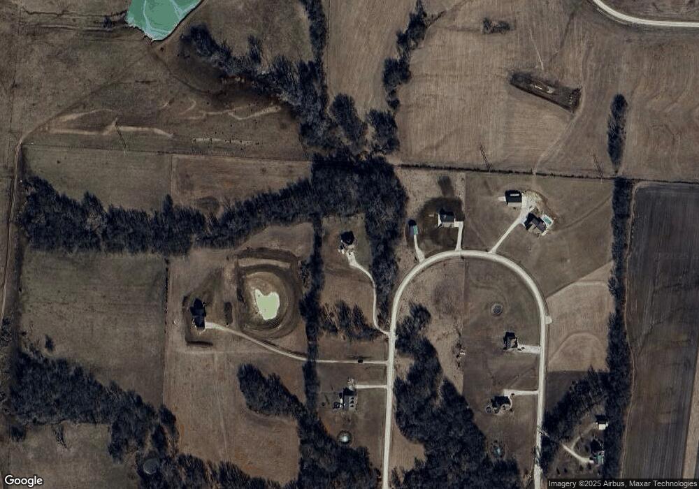
Map
Nearby Homes
- 0 Tbd Lot 4 491st Rd Unit HMS2496522
- 0 Tbd Lot 2 491st Rd
- 0 Tbd Lot 5 491st Rd Unit HMS2496497
- 501 NW 101st Rd
- 507 NW 165th Rd
- TBD NW 361st Rd
- 65 SW 150th Rd
- 66 SW 150th Rd
- 125 NW 171 Rd
- 123 NW 171 Rd
- 130 NW 171 Rd
- 56 NW 151st Rd
- 412 NW 701st Rd
- 103 SW 95th Rd
- 720 Burlington Rd
- 704 Mahogany Ct
- 101 Hidden Pines Ln
- 705 Mahogany Ct
- 707 Mahogany Ct
- 109 Deerfield Dr