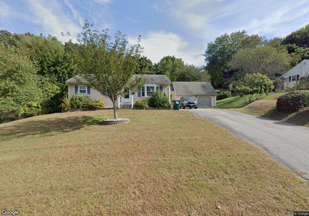
32 Orchard Dr Uncasville, CT 06382
Estimated Value: $355,000 - $414,000
3
Beds
3
Baths
1,488
Sq Ft
$251/Sq Ft
Est. Value
About This Home
This home is located at 32 Orchard Dr, Uncasville, CT 06382 and is currently estimated at $373,546, approximately $251 per square foot. 32 Orchard Dr is a home located in New London County with nearby schools including Leonard J. Tyl Middle School, Montville High School, and Bradley School-New London Regional.
Ownership History
Date
Name
Owned For
Owner Type
Purchase Details
Closed on
Mar 24, 1993
Sold by
Wright Charles and Wright Mary
Bought by
Hewitt Mary Jo
Current Estimated Value
Home Financials for this Owner
Home Financials are based on the most recent Mortgage that was taken out on this home.
Original Mortgage
$90,000
Interest Rate
5.25%
Mortgage Type
Unknown
Create a Home Valuation Report for This Property
The Home Valuation Report is an in-depth analysis detailing your home's value as well as a comparison with similar homes in the area
Home Values in the Area
Average Home Value in this Area
Purchase History
| Date | Buyer | Sale Price | Title Company |
|---|---|---|---|
| Hewitt Mary Jo | $122,000 | -- | |
| Hewitt Mary Jo | $122,000 | -- |
Source: Public Records
Mortgage History
| Date | Status | Borrower | Loan Amount |
|---|---|---|---|
| Closed | Hewitt Mary Jo | $20,000 | |
| Closed | Hewitt Mary Jo | $90,000 |
Source: Public Records
Tax History Compared to Growth
Tax History
| Year | Tax Paid | Tax Assessment Tax Assessment Total Assessment is a certain percentage of the fair market value that is determined by local assessors to be the total taxable value of land and additions on the property. | Land | Improvement |
|---|---|---|---|---|
| 2025 | $4,569 | $158,270 | $31,220 | $127,050 |
| 2024 | $4,395 | $158,270 | $31,220 | $127,050 |
| 2023 | $4,395 | $158,270 | $31,220 | $127,050 |
| 2022 | $4,227 | $158,270 | $31,220 | $127,050 |
| 2021 | $3,977 | $125,250 | $31,030 | $94,220 |
| 2020 | $4,056 | $125,250 | $31,030 | $94,220 |
| 2019 | $4,072 | $125,250 | $31,030 | $94,220 |
| 2018 | $3,974 | $125,250 | $31,040 | $94,210 |
| 2017 | $3,970 | $125,250 | $31,040 | $94,210 |
| 2016 | $3,653 | $119,330 | $38,770 | $80,560 |
| 2015 | $3,653 | $119,330 | $38,770 | $80,560 |
| 2014 | $3,505 | $119,330 | $38,770 | $80,560 |
Source: Public Records
Map
Nearby Homes
- 184 Kitemaug Rd
- 127 Massapeag Rd
- 10 Riched Ln
- 1465 Norwich-New London Turnpike
- 170 Raymond Hill Rd
- 17B Massapeag Point Rd
- 13 Dock Rd
- 245 Norwich New London Turnpike Unit 22
- 9 Morgan St
- 6 Sunset Rd
- 0 Clarks Falls Unit 24089817
- 60 Hammel Ln
- 13 Skyline Dr
- 9 West Dr
- 16 Jacop Dr
- 150 Park Avenue Extension
- 145 Massapeag Side Rd
- 57 Roselund Hill Rd
- 331 Route 163
- 11 Queen Eleanor Dr
- 28 Orchard Dr
- 36 Orchard Dr
- 16 Greening Place
- 12 Greening Place
- 35 Orchard Dr
- 8 Greening Place
- 40 Orchard Dr
- 31 Orchard Dr
- 8 Mcintosh Ave
- 39 Orchard Dr
- 8 Peachvale Dr
- 4 Greening Place
- 4 Peachvale Dr
- 94 Kitemaug Rd
- 15 Greening Place
- 12 Peachvale Dr
- 15 Orchard Dr
- 90 Kitemaug Rd
- 5 Mcintosh Ave
- 11 Greening Place