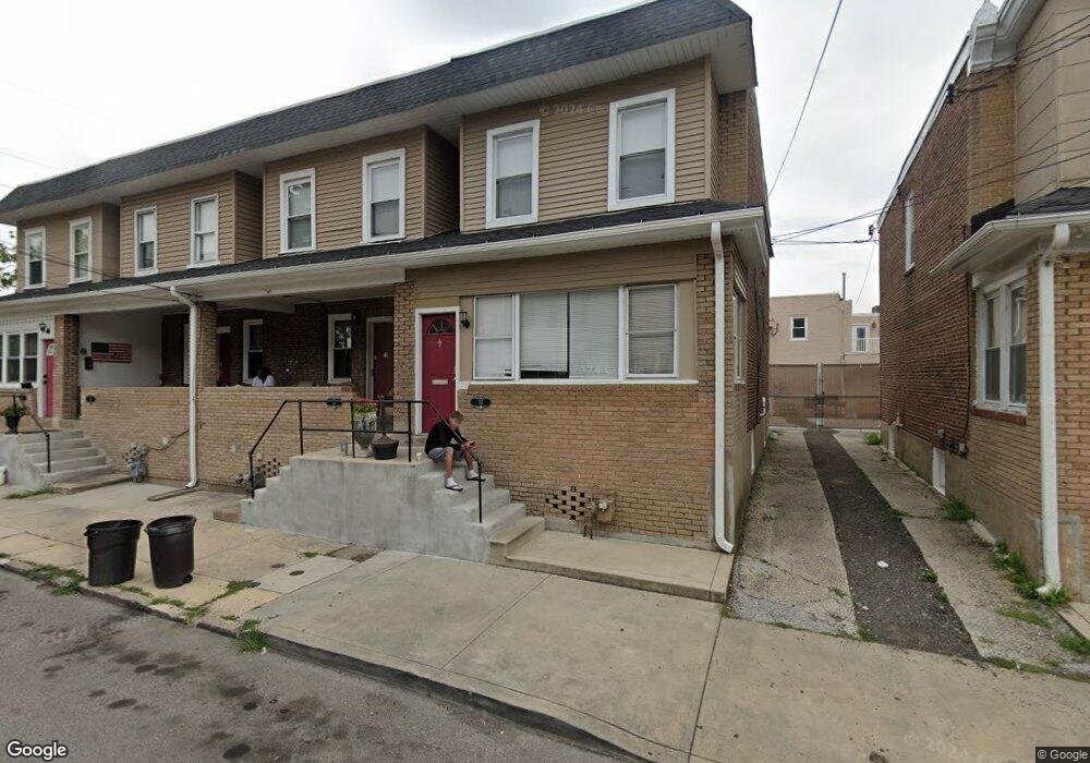
32 Oxford Ave Lansdowne, PA 19050
Estimated Value: $108,000 - $167,000
3
Beds
1
Bath
1,264
Sq Ft
$114/Sq Ft
Est. Value
About This Home
This home is located at 32 Oxford Ave, Lansdowne, PA 19050 and is currently estimated at $144,660, approximately $114 per square foot. 32 Oxford Ave is a home located in Delaware County with nearby schools including Charles Kelly El School, Upper Darby High School, and SS. Cyril & Philomena Catholic School.
Ownership History
Date
Name
Owned For
Owner Type
Purchase Details
Closed on
Feb 18, 2014
Sold by
Delldog Inc
Bought by
Fresh Start Properties Llc
Current Estimated Value
Purchase Details
Closed on
Oct 24, 2003
Sold by
Delldog Inc
Bought by
Delldog Inc
Purchase Details
Closed on
Jul 31, 2003
Sold by
Hud
Bought by
Delldog Inc
Purchase Details
Closed on
Jan 16, 2003
Sold by
Midfirst Bank
Bought by
Hud
Purchase Details
Closed on
Nov 25, 2002
Sold by
Bales Lydia D and Bales Robert G
Bought by
Midfirst Bank
Create a Home Valuation Report for This Property
The Home Valuation Report is an in-depth analysis detailing your home's value as well as a comparison with similar homes in the area
Home Values in the Area
Average Home Value in this Area
Purchase History
| Date | Buyer | Sale Price | Title Company |
|---|---|---|---|
| Fresh Start Properties Llc | $47,500 | None Available | |
| Delldog Inc | $19,600 | Commonwealth Title | |
| Delldog Inc | $34,100 | Commonwealth Title | |
| Hud | -- | -- | |
| Midfirst Bank | -- | -- |
Source: Public Records
Tax History Compared to Growth
Tax History
| Year | Tax Paid | Tax Assessment Tax Assessment Total Assessment is a certain percentage of the fair market value that is determined by local assessors to be the total taxable value of land and additions on the property. | Land | Improvement |
|---|---|---|---|---|
| 2025 | $3,062 | $72,410 | $13,570 | $58,840 |
| 2024 | $3,062 | $72,410 | $13,570 | $58,840 |
| 2023 | $3,033 | $72,410 | $13,570 | $58,840 |
| 2022 | $2,952 | $72,410 | $13,570 | $58,840 |
| 2021 | $3,980 | $72,410 | $13,570 | $58,840 |
| 2020 | $1,759 | $27,190 | $12,170 | $15,020 |
| 2019 | $1,728 | $27,190 | $12,170 | $15,020 |
| 2018 | $1,719 | $27,360 | $0 | $0 |
| 2017 | $1,674 | $27,360 | $0 | $0 |
| 2016 | $150 | $27,360 | $0 | $0 |
| 2015 | $153 | $27,360 | $0 | $0 |
| 2014 | $153 | $27,360 | $0 | $0 |
Source: Public Records
Map
Nearby Homes
- 407 Church Ln
- 435 Bonsall Ave
- 503 Bonsall Ave
- 536 Cypress St
- 603 Penn St
- 530 Orchard Ave
- 608 Pembroke Ave
- 7026 Atlantic Ave
- 702 Cedar Ave
- 711 Yeadon Ave Unit 1
- 7123 Seaford Rd
- 7129 Seaford Rd
- 722 Yeadon Ave
- 1016 Whitby Ave
- 7000 Greenwood Ave
- 740 Church Ln
- 6858 Clover Ln
- 1212 S Millick St
- 408 S Union Ave
- 726 Copley Rd